Lake Ōmāpere
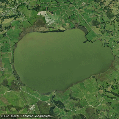
Lake Ōmāpere
- Boat Ramps
- 0
- Access Points
- 0
- Species
- 2
Lake Ōmāpere is a shallow, ecologically significant lake located in the Northland region of New Zealand's North Island. Sitting within a landscape shaped by gumland and peat bogs, the lake drains southward through its only outlet, the Utakura River, creating a connected fishery of considerable importance to both anglers and the local Māori community. The lake was vested to the Lake Ōmāpere Trust in 1954 by the Maori Land Court and holds deep cultural significance as a taonga (treasure) to Ngāpuhi, historically providing tuna (eel), torewai, raupo, kuta, and harakeke. With an average depth of just 2 metres and a maximum depth of 2.6 metres, this is an exceptionally shallow water body with an annual seasonal water level variation of approximately 1 metre. The surrounding wetlands and peat-influenced waters give the lake a characteristic tea-coloured tint, a hallmark of the broader Northland peat landscape.
Species & education
Learn what type of fish are at Lake Ōmāpere and what's needed to catch them.

Find which waters have the species you want to catch

New Zealand Longfin Eel
Anguilla dieffenbachii

Short-finned Eel
Anguilla australis
Fishing spots, boat ramps & amenities
Learn how to get on Lake Ōmāpere. Uncover great fishing access points, boat ramps, and all the facilities you need for an unforgettable day on the water. Some locations shown may border or include private property. Always check property boundaries and applicable regulations before visiting. onWater's Public & Private Land layer can help you plan your access with confidence.
Know where you can legally fish on Lake Ōmāpere
See public and private land boundaries along the water, turn on private parcels with owner details to know where permission is required, and find land-trust parcels that offer permitted fishing access.
Northland licenses and regulations
No licenses or regulations available for Northland.
Take Lake Ōmāpere with you
The onWater Fish app keeps this water's access points, species and conditions in your pocket, with the tools you use once you're there.
Use the map without signal
Download the map around Lake Ōmāpere to use it offline when coverage drops.
Log your catches here
Keep a private fishing journal for Lake Ōmāpere to find where and when fish are biting for you.
HD depth charts from Garmin
Find drop offs, ledges, channels, points and shallow flats with Garmin depth charts in the app.
Get the onWater Fish app
Free on iOS and Android
Water and weather conditions (10 day forecast)
See the best times to fish Lake Ōmāpere and check the forecast before you go.
Lake Omapere at Outlet Wall Staff Gauge
All Flow Stations
Fishing near Lake Ōmāpere
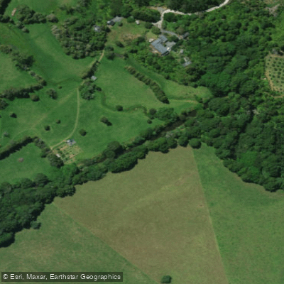
Kerikeri River
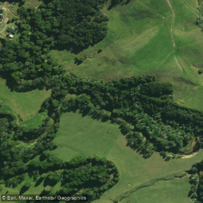
Waitangi River
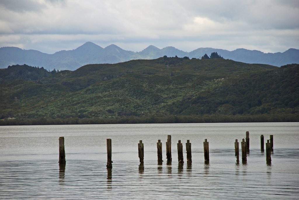
Hokianga Harbour
Waipapa Stream
Utakura River
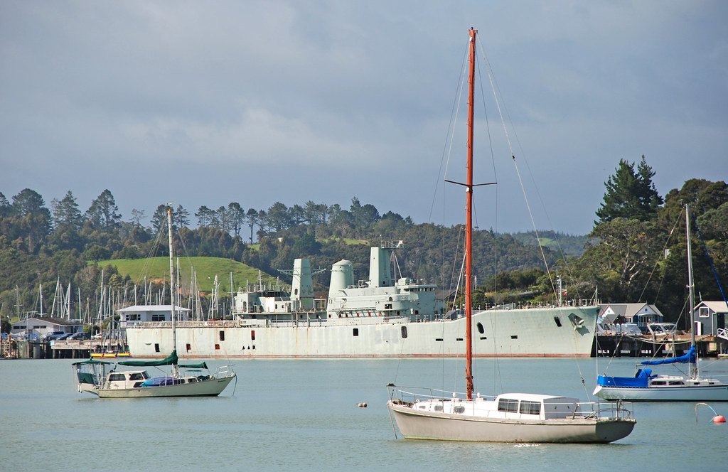
Bay of Islands
Mangakahia River
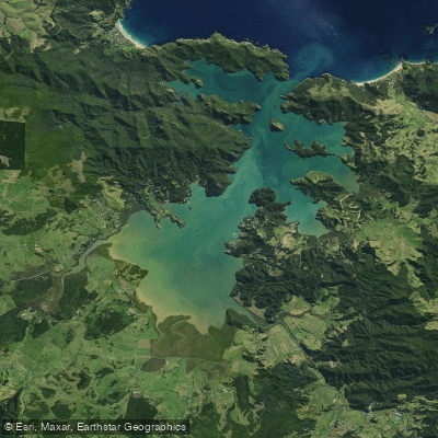
Whangaroa Harbour
Waipapa River
Explore Northland waters
Top fishing waters
No waters available right now.
Popular Cities
Loading popular cities...
Explore near Lake Ōmāpere

Smarter Fishing Starts in the App.
onWater Fish gives you everything you need to plan smarter, fish better, and own every trip from first cast to last.