Clifford Bay
- Saltwater
- Bay
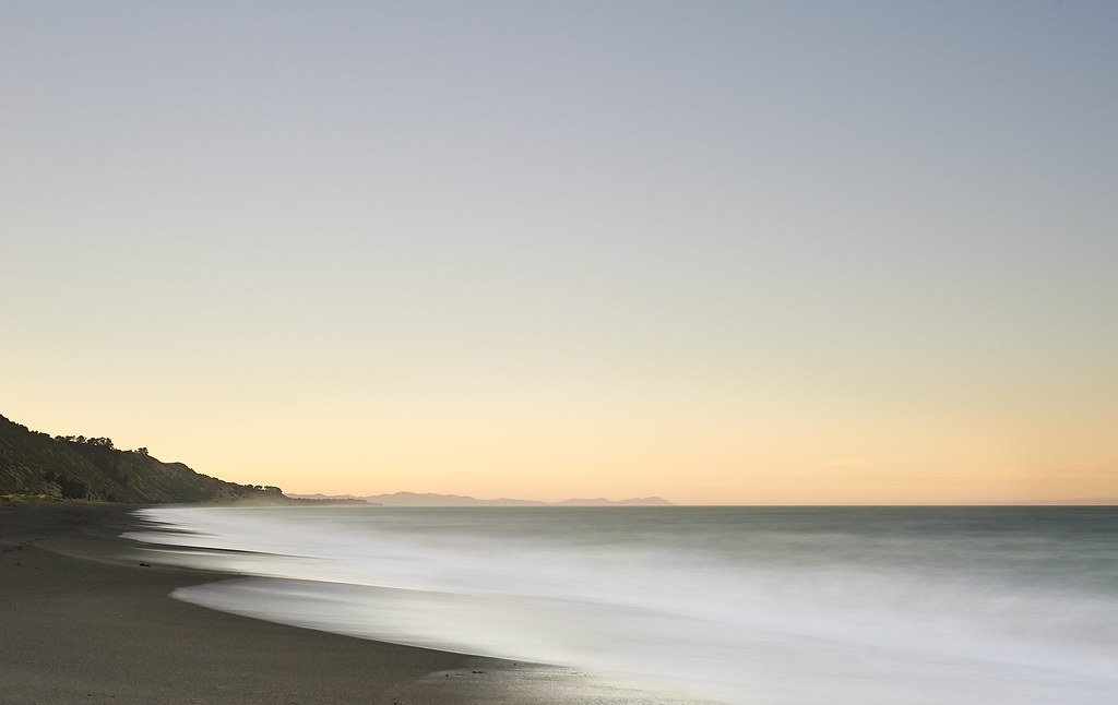
Clifford Bay
- Saltwater
- Bay
- Sq. miles
- 30
- Boat Ramps
- 0
- Access Points
- 0
- Species
- 13
Clifford Bay is a significant coastal bay located at the eastern entrance to Cook Strait in the Marlborough region. The bay is bounded by White Cliffs to the north, separating it from Cloudy Bay, and curves around to Cape Campbell to the east. Its shoreline transitions from unstable, sandy beaches to a more stable, rocky coastline towards the east, supporting denser kelp beds and a greater diversity of marine life. The terrestrial environment features pristine sand dunes with rare native plants, and the area is notable for the solar salt extraction works at the extensively modified Lake Grassmere. Historically, there have been proposals to relocate the inter-island ferry terminal here, though such plans have not proven economically viable.
Species & education
Learn what type of fish are at Clifford Bay and what's needed to catch them.

Find which waters have the species you want to catch

Barracouta
Thyrsites atun

Blue Moki
Latridopsis ciliaris

Blue Warehou
Seriolella brama

Elephant Fish
Callorhinchus milii

Hapuku
Polyprion oxygeneios

Jack Mackerel
Trachurus declivis

Kahawai
Arripis trutta

Red Cod
Pseudophycis bachus

Red Gurnard
Chelidonichthys kumu

School Shark
Galeorhinus galeus

Silver Warehou
Seriolella punctata

Spiny Dogfish
Squalus acanthias

Tarakihi
Nemadactylus macropterus
Fishing spots, boat ramps & amenities
Learn how to get on Clifford Bay. Uncover great fishing access points, boat ramps, and all the facilities you need for an unforgettable day on the water. Some locations shown may border or include private property. Always check property boundaries and applicable regulations before visiting. onWater's Public & Private Land layer can help you plan your access with confidence.
The most productive fishing areas are associated with specific structures. The extensive reefs and rock outcrops along the Kaikoura Coast, which extends into this region, are prime locations. Within Clifford Bay itself, the rocky shoreline and kelp beds in the eastern section near Cape Campbell are key areas to target a greater diversity of species. The old, abandoned pier by Lake Grassmere may also provide an access point for pier fishing. The sandy beaches, while less structurally complex, are reliable spots for flounder.
Know where you can legally fish on Clifford Bay
See public and private land boundaries along the water, turn on private parcels with owner details to know where permission is required, and find land-trust parcels that offer permitted fishing access.
Marlborough licenses and regulations
No licenses or regulations available for Marlborough.
Take Clifford Bay with you
The onWater Fish app keeps this water's access points, species and conditions in your pocket, with the tools you use once you're there.
Use the map without signal
Download the map around Clifford Bay to use it offline when coverage drops.
Log your catches here
Keep a private fishing journal for Clifford Bay to find where and when fish are biting for you.
Get the onWater Fish app
Free on iOS and Android
Tides, wind & water conditions (10 day forecast)
On open water, wind and tide matter as much as the weather. See the best times to fish Clifford Bay and check the marine forecast before you launch.
Loading tide predictions…
Fishing near Clifford Bay
Wairau River
Awatere River
Te Koko-o-Kupe / Cloudy Bay
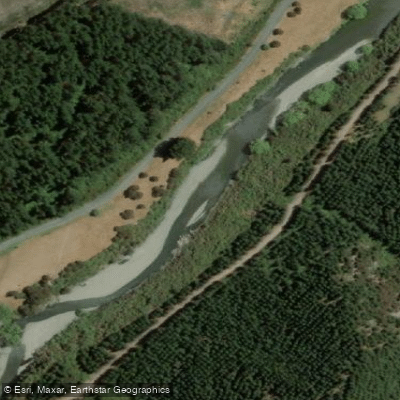
Waihopai River
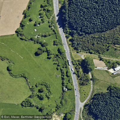
Tuamarina River
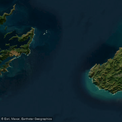
Te Moana-o-Raukawa / Cook Strait
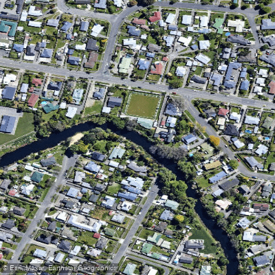
Ōpaoa River
Wakamarina River
Te Hoiere / Pelorus River
Explore Marlborough waters
Top fishing waters
No waters available right now.
Popular Cities
Loading popular cities...
Explore near Clifford Bay
Fish species
Nearby waters
More in Marlborough

Smarter Fishing Starts in the App.
onWater Fish gives you everything you need to plan smarter, fish better, and own every trip from first cast to last.