Tūranganui-a-Kiwa / Poverty Bay
- Saltwater
- Bay
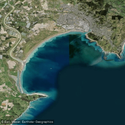
Tūranganui-a-Kiwa / Poverty Bay
- Saltwater
- Bay
- Sq. miles
- 25
- Boat Ramps
- 0
- Access Points
- 0
- Species
- 15
Tūranganui-a-Kiwa / Poverty Bay is the marquee boat fishery for the Gisborne region, a large, open bay on the east coast of New Zealand's North Island. The bay's waters and seafloor feature a mix of inshore reefs, sand patches, and historically significant underwater structures, providing diverse habitats for a range of popular saltwater species. The area holds significant cultural heritage, with marker reefs designating traditional iwi and hapū tribal boundaries and fishing grounds. Navigation and access are governed by specific local bylaws, and the bay's bathymetry has been professionally surveyed, revealing detailed seafloor features.
Species & education
Learn what type of fish are at Tūranganui-a-Kiwa / Poverty Bay and what's needed to catch them.

Find which waters have the species you want to catch

Barracouta
Thyrsites atun

Blue Moki
Latridopsis ciliaris

Blue Warehou
Seriolella brama

Broadbill Swordfish
Xiphias gladius

Elephant Fish
Callorhinchus milii

Grey Mullet
Mugil cephalus

Kahawai
Arripis trutta

New Zealand Sole
Peltorhamphus novaezeelandiae

Piper
Hyporhamphus ihi

Red Cod
Pseudophycis bachus

Red Gurnard
Chelidonichthys kumu

Sand Flounder
Rhombosolea plebeia

Spiny Dogfish
Squalus acanthias

Trevally
Pseudocaranx georgianus

Yellow-eyed Mullet
Aldrichetta forsteri
Fishing spots, boat ramps & amenities
Learn how to get on Tūranganui-a-Kiwa / Poverty Bay. Uncover great fishing access points, boat ramps, and all the facilities you need for an unforgettable day on the water. Some locations shown may border or include private property. Always check property boundaries and applicable regulations before visiting. onWater's Public & Private Land layer can help you plan your access with confidence.
The most productive fishing occurs over the bay's inshore reefs and sand patches. Additionally, the seafloor contains specific historically significant features, including two locally known but previously uncharted shipwrecks that have been mapped in 3D. These wrecks, along with marker reefs that denote traditional tribal boundaries, act as fish-attracting structures. The area defined as the Gisborne Harbour Limits, enclosed by a line from Tuaheni Point, is a defined zone for navigation and fishing activity.
Know where you can legally fish on Tūranganui-a-Kiwa / Poverty Bay
See public and private land boundaries along the water, turn on private parcels with owner details to know where permission is required, and find land-trust parcels that offer permitted fishing access.
Gisborne licenses and regulations
No licenses or regulations available for Gisborne.
Take Tūranganui-a-Kiwa / Poverty Bay with you
The onWater Fish app keeps this water's access points, species and conditions in your pocket, with the tools you use once you're there.
Use the map without signal
Download the map around Tūranganui-a-Kiwa / Poverty Bay to use it offline when coverage drops.
Log your catches here
Keep a private fishing journal for Tūranganui-a-Kiwa / Poverty Bay to find where and when fish are biting for you.
Get the onWater Fish app
Free on iOS and Android
Tides, wind & water conditions (10 day forecast)
On open water, wind and tide matter as much as the weather. See the best times to fish Tūranganui-a-Kiwa / Poverty Bay and check the marine forecast before you launch.
Loading tide predictions…
Fishing near Tūranganui-a-Kiwa / Poverty Bay
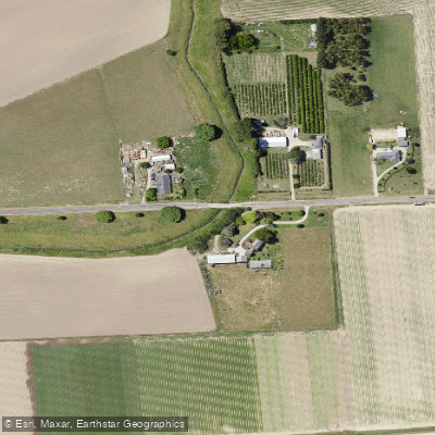
Taruheru River
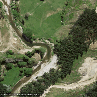
Waimata River
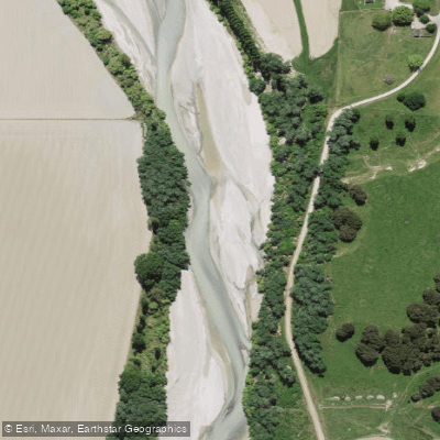
Waipaoa River
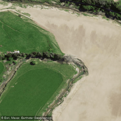
Te Ārai River
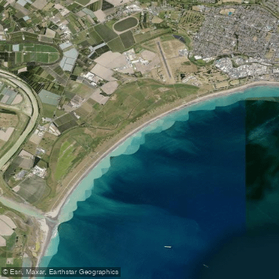
Midway Beach
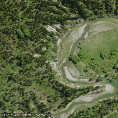
Nūhaka River
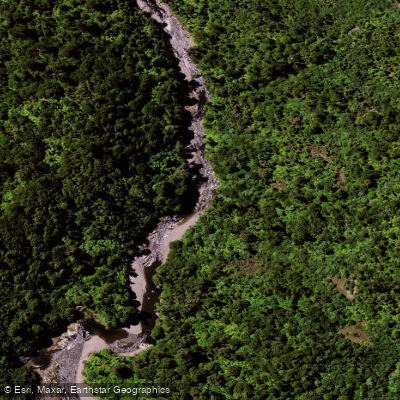
Mōtū River
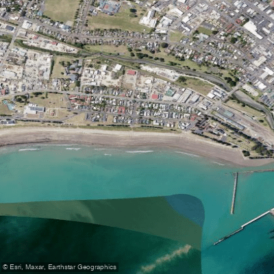
Waikanae Beach
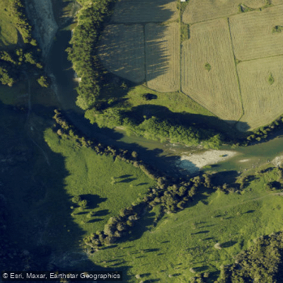
Waiau River
Explore Gisborne waters
Top fishing waters
No waters available right now.
Popular Cities
Loading popular cities...
Explore near Tūranganui-a-Kiwa / Poverty Bay
Fish species
Nearby waters
More in Gisborne

Smarter Fishing Starts in the App.
onWater Fish gives you everything you need to plan smarter, fish better, and own every trip from first cast to last.