Western Channel
- Saltwater
- Channel
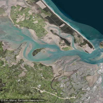
Western Channel
- Saltwater
- Channel
- Sq. miles
- 2.9
- Boat Ramps
- 0
- Access Points
- 0
- Species
- 1
The Western Channel is a significant tidal channel within Tauranga Harbour, located in the Western Bay of Plenty District. It serves as a primary navigation route and a productive fishing ground for inshore saltwater species. The channel is characterized by its exposure to prevailing winds, particularly from the west and southwest, which can create choppy conditions with whitecaps. The bottom consists of sand and mud substrates, supporting subtidal shellfish beds. Water depths in the main channel range from approximately 8 to 11 meters, with higher salinity ocean water pushing into the harbor through this entrance. It is a dynamic marine environment influenced strongly by tidal flows and weather.
Species & education
Learn what type of fish are at Western Channel and what's needed to catch them.

Find which waters have the species you want to catch

Trevally
Pseudocaranx georgianus
Fishing spots, boat ramps & amenities
Learn how to get on Western Channel. Uncover great fishing access points, boat ramps, and all the facilities you need for an unforgettable day on the water. Some locations shown may border or include private property. Always check property boundaries and applicable regulations before visiting. onWater's Public & Private Land layer can help you plan your access with confidence.
Productive fishing is often found near marker buoys within the Western Channel itself, particularly in depths around 11 meters. The area close to Rangiwaea Island, in shallower water around 8 meters, is another noted spot. The channel edges and the subtidal pipi beds provide structure that attracts fish.
Know where you can legally fish on Western Channel
See public and private land boundaries along the water, turn on private parcels with owner details to know where permission is required, and find land-trust parcels that offer permitted fishing access.
Bay Of Plenty licenses and regulations
No licenses or regulations available for Bay Of Plenty.
Take Western Channel with you
The onWater Fish app keeps this water's access points, species and conditions in your pocket, with the tools you use once you're there.
Use the map without signal
Download the map around Western Channel to use it offline when coverage drops.
Log your catches here
Keep a private fishing journal for Western Channel to find where and when fish are biting for you.
Get the onWater Fish app
Free on iOS and Android
Tides, wind & water conditions (10 day forecast)
On open water, wind and tide matter as much as the weather. See the best times to fish Western Channel and check the marine forecast before you launch.
Loading tide predictions…
Fishing near Western Channel
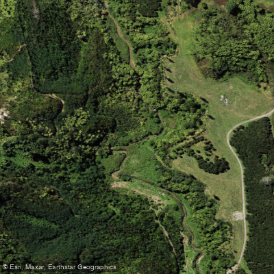
Kopurererua Stream
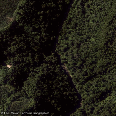
Opuiaki River
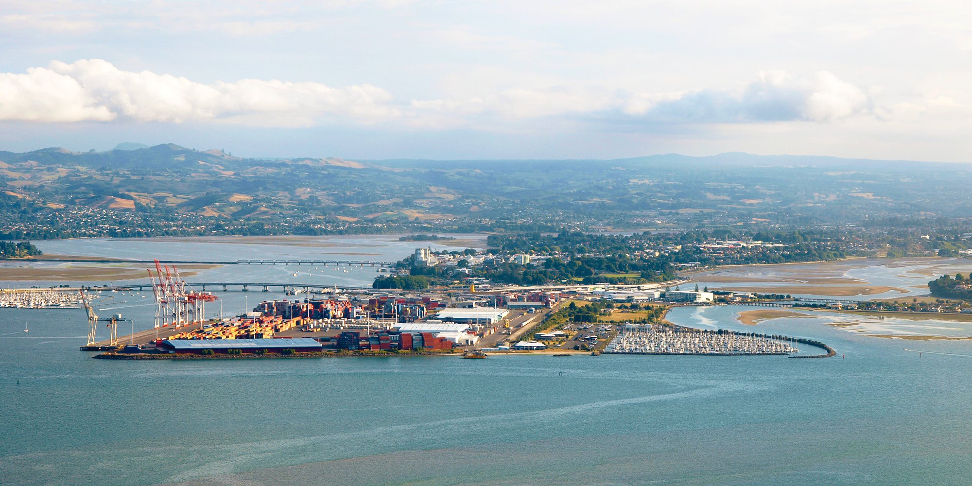
Tauranga Harbour
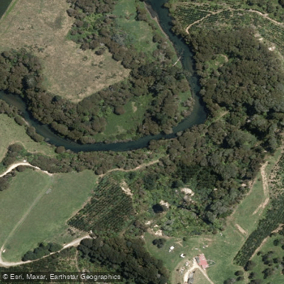
Kaituna River
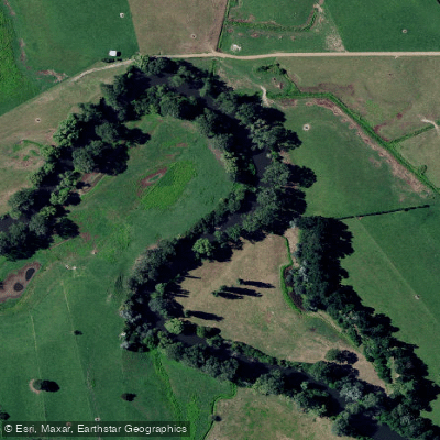
Waihou River
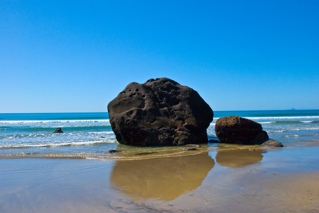
Bay of Plenty
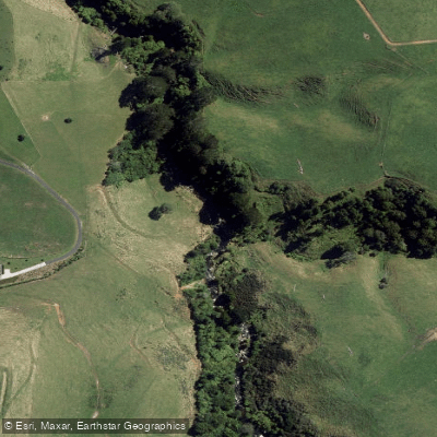
Waimapu Stream
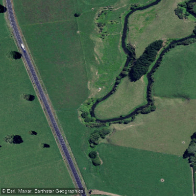
Waiomou Stream
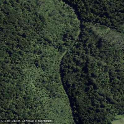
Ōmanawa River
Explore Bay Of Plenty waters
Top fishing waters
No waters available right now.
Popular Cities
Loading popular cities...
Explore near Western Channel
Fish species
Nearby waters
More in Bay Of Plenty

Smarter Fishing Starts in the App.
onWater Fish gives you everything you need to plan smarter, fish better, and own every trip from first cast to last.