Afwateringskanaal van Duurswold
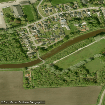
Afwateringskanaal van Duurswold
- Boat Ramps
- 0
- Access Points
- 0
- Species
- 12
The Afwateringskanaal van Duurswold is a drainage canal located in the Duurswold region of the Netherlands, managed by Waterschap Hunze en Aa's. This lowland canal winds through a characteristically flat Dutch agricultural landscape, connecting with a network of smaller waterways including the Scharmer Ae, Woltesumer Ae, and Slochterdiep. The canal is a nutrient-rich, slow-moving waterway typical of the Dutch polder system, with well-developed aquatic and riparian vegetation that provides excellent habitat for a variety of fish species. The surrounding banks are dominated by reed and soft rush, while the water itself supports a rich community of submerged and floating-leaf plants that create diverse fish habitat throughout the system.
Species & education
Learn what type of fish are at Afwateringskanaal van Duurswold and what's needed to catch them.

Find which waters have the species you want to catch

Common Bream
Abramis brama

Common Gudgeon
Gobio gobio

Common Roach
Rutilus rutilus

Eurasian Pikeperch
Sander lucioperca

European Eel
Anguilla anguilla

European Perch
Perca fluviatilis

Ide
Leuciscus idus

Northern Pike
Esox lucius

Rudd
Scardinius erythrophthalmus

Ruffe
Gymnocephalus cernua

Silver Bream
Blicca bjoerkna

Tench
Tinca tinca
Fishing spots, boat ramps & amenities
Learn how to get on Afwateringskanaal van Duurswold. Uncover great fishing access points, boat ramps, and all the facilities you need for an unforgettable day on the water. Some locations shown may border or include private property. Always check property boundaries and applicable regulations before visiting. onWater's Public & Private Land layer can help you plan your access with confidence.
The area near Schaaphok, where the Scharmer Ae connects with the broader canal network, is a notable location within the system, with monitoring data collected at this site reflecting its ecological significance. The section near Geefsweer is notable for dense stands of narrow-leaved waterweed, which create productive fish habitat. The Slochterdiep and Woltesumer Ae, as connected waterways, offer additional fishing variety within the broader Duurswold canal network. The bridge at Luddeweer along the Slochtermeenteweg is another recognizable landmark within the system.
Know where you can legally fish on Afwateringskanaal van Duurswold
See public and private land boundaries along the water, turn on private parcels with owner details to know where permission is required, and find land-trust parcels that offer permitted fishing access.
Groningen licenses and regulations
No licenses or regulations available for Groningen.
Take Afwateringskanaal van Duurswold with you
The onWater Fish app keeps this water's access points, species and conditions in your pocket, with the tools you use once you're there.
Use the map without signal
Download the map around Afwateringskanaal van Duurswold to use it offline when coverage drops.
Log your catches here
Keep a private fishing journal for Afwateringskanaal van Duurswold to find where and when fish are biting for you.
Get the onWater Fish app
Free on iOS and Android
Water and weather conditions (10 day forecast)
See the best times to fish Afwateringskanaal van Duurswold and check the forecast before you go.
No forecast data available.
Fishing near Afwateringskanaal van Duurswold
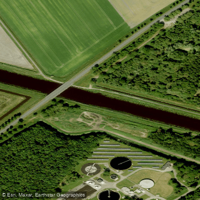
A.G. Wildervanckkanaal
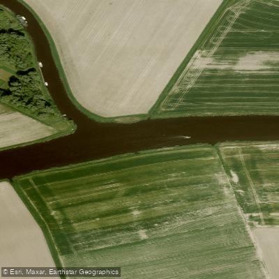
Reitdiep
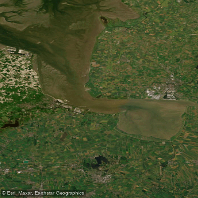
Eems-Dollard
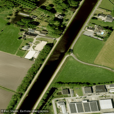
Noord-Willemskanaal
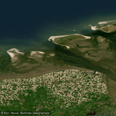
Eems-Dollard (kustwater)
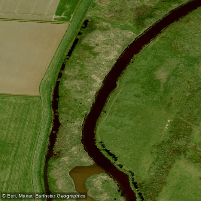
Westerwoldsche Aa
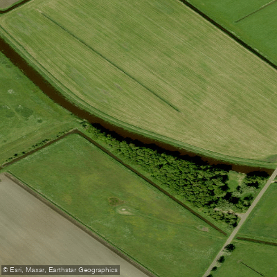
Hunze
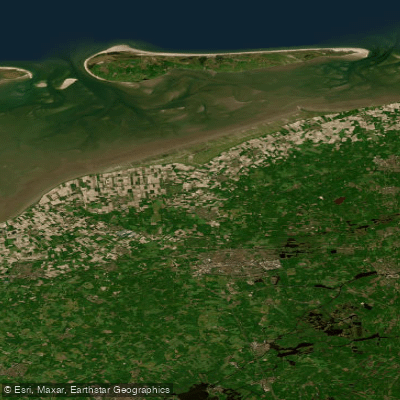
Waddenzee vastelandskust
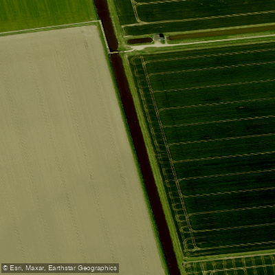
Nieuwe Kanaal
Explore Groningen waters
Top fishing waters
No waters available right now.
Popular Cities
Loading popular cities...
Explore near Afwateringskanaal van Duurswold
Fish species
Nearby waters
More in Groningen

Smarter Fishing Starts in the App.
onWater Fish gives you everything you need to plan smarter, fish better, and own every trip from first cast to last.