Glenmacnass Waterfall
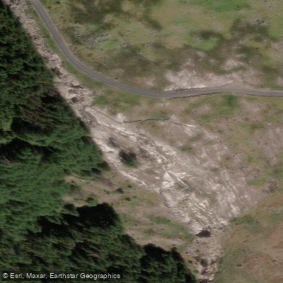
Glenmacnass Waterfall
Glenmacnass Waterfall (Irish: Gleann Log an Easa, "the glen of the hollow of the waterfall") is an 80-metre cascade located at the head of the Glenmacnass Valley in the Wicklow Mountains.
Fed by the Glenmacnass River, which rises on the southeast slopes of Mullaghcleevaun, the water reaches the lip of the falls at roughly 350 metres above sea level before dropping in three staggered stages to the valley floor.
Tonelagee mountain lies to the west and Scarr to the east. The waterfall is easily accessed via the R115, also known as the Military Road, which runs between Sally Gap to the north and the village of Laragh to the south.
It is a well-known scenic stop in the Wicklow Mountains and draws visitors year-round. Those viewing the falls are advised to remain on the road side of the boundary fence and not attempt to approach the top of the drop.
Nearby points of interest
Find excellent fishing spots, easy access to boat ramps, and all the amenities you need for a memorable day. Your adventure starts here.
Water and weather conditions (10 day forecast)
Check the forecast at Glenmacnass Waterfall before you go fishing.
No forecast data available.
Fishing near Glenmacnass Waterfall
Avonmore
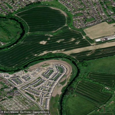
Liffey
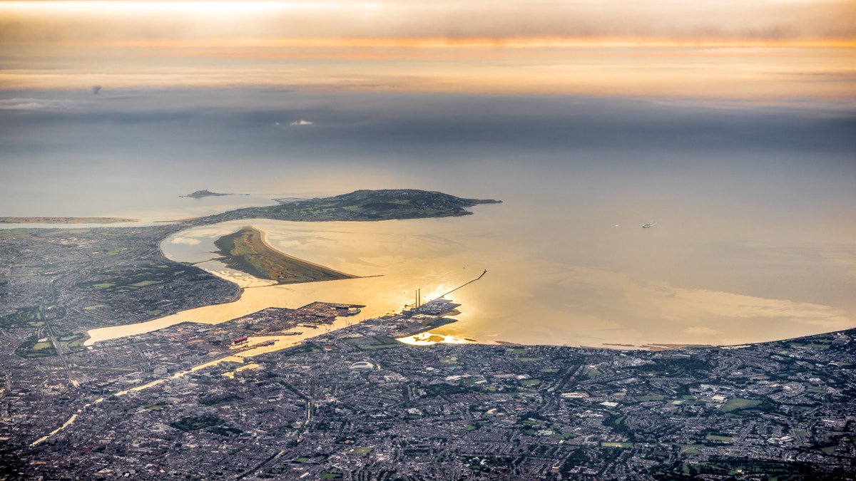
Dublin Bay
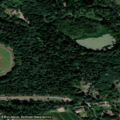
Vartry
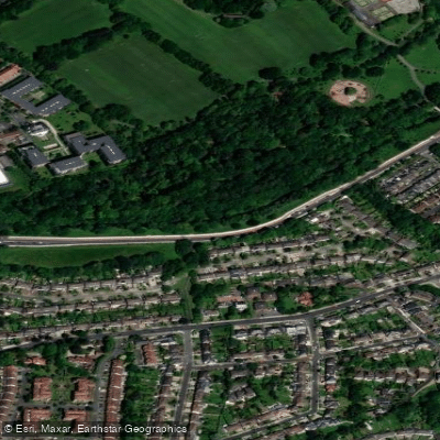
Dodder
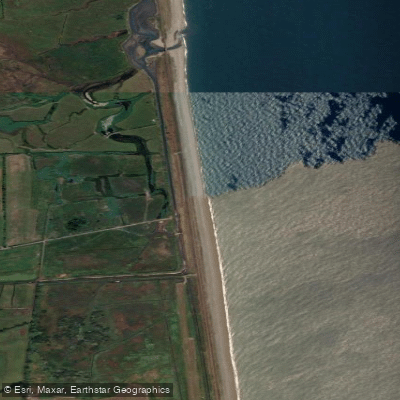
Leamore Strand
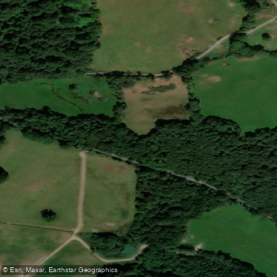
Potter'S
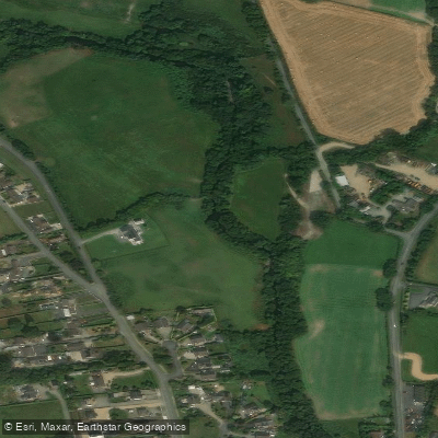
Avonbeg
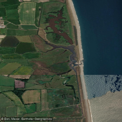
Kilcoole Marsh
Camac
Co. Wicklow licenses and regulations
Explore Wicklow waters
Top fishing waters
No waters available right now.
Popular Cities
Loading popular cities...
Explore near Glenmacnass Waterfall

Smarter Fishing Starts in the App.
onWater Fish gives you everything you need to plan smarter, fish better, and own every trip from first cast to last.