Dungarvan Harbour
- Saltwater
- Bay
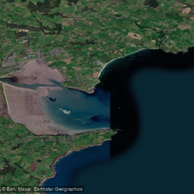
Dungarvan Harbour
- Saltwater
- Bay
- Sq. miles
- 8.8
- Boat Ramps
- 0
- Access Points
- 0
- Species
- 10
Dungarvan Harbour is a sheltered coastal bay on the west coast of County Waterford, Ireland. It is formed by The Quay on the town side and The Causeway, with the mouth of the Colligan River flowing into its inner portion. The outer bay is defined by a 3-kilometre sandbar known as The Cunnigar, which creates a wide, shallow bay with extensive sand banks. The harbour offers a mix of sandy beaches, rocky marks, and deeper channels, providing diverse inshore and nearshore sea angling opportunities. The area is known for its scenic coastal views and supports both shore-based fishing and charter boat operations targeting a variety of species.
Species & education
Learn what type of fish are at Dungarvan Harbour and what's needed to catch them.

Find which waters have the species you want to catch

Ballan Wrasse
Labrus bergylta

Bull Huss
Scyliorhinus stellaris

Coalfish
Pollachius virens

Conger Eel
Conger conger

Cuckoo Ray
Leucoraja naevus

Cuckoo Wrasse
Labrus mixtus

European Seabass
Dicentrarchus labrax

Lesser Spotted Dogfish
Scyliorhinus canicula

Pollack
Pollachius pollachius

Pouting
Trisopterus luscus
Fishing spots, boat ramps & amenities
Learn how to get on Dungarvan Harbour. Uncover great fishing access points, boat ramps, and all the facilities you need for an unforgettable day on the water. Some locations shown may border or include private property. Always check property boundaries and applicable regulations before visiting. onWater's Public & Private Land layer can help you plan your access with confidence.
Shore fishing spots include Clonea Strand beach, Dungarvan Harbour itself (particularly the main channel by the Abbey), and the rocky marks at Helvick Head. The area in front of the Sports Complex within the harbour has produced bass and flounder historically, though snags can be present. The Cunnigar sandbar and the estuary of the River Brickey at Abbeyside are notable features. For boat fishing, the inshore reefs outside the harbour and south of Helvick Head are productive grounds for pollack, wrasse, and coalfish.
Know where you can legally fish on Dungarvan Harbour
See public and private land boundaries along the water, turn on private parcels with owner details to know where permission is required, and find land-trust parcels that offer permitted fishing access.
Co. Waterford licenses and regulations
No licenses or regulations available for Co. Waterford.
Take Dungarvan Harbour with you
The onWater Fish app keeps this water's access points, species and conditions in your pocket, with the tools you use once you're there.
Use the map without signal
Download the map around Dungarvan Harbour to use it offline when coverage drops.
Log your catches here
Keep a private fishing journal for Dungarvan Harbour to find where and when fish are biting for you.
Get the onWater Fish app
Free on iOS and Android
Tides, wind & water conditions (10 day forecast)
On open water, wind and tide matter as much as the weather. See the best times to fish Dungarvan Harbour and check the marine forecast before you launch.
Loading tide predictions…
Fishing near Dungarvan Harbour
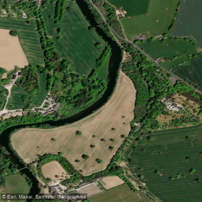
Suir
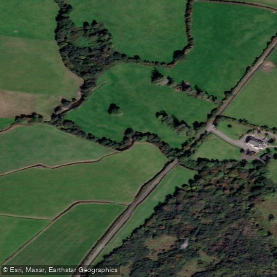
Dalligan
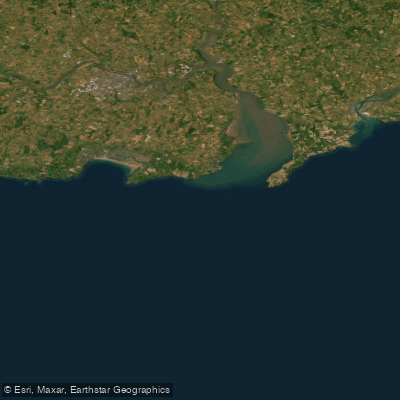
Eastern Celtic Sea (HAs 13;17)
Colligan
Blackwater [Munster]
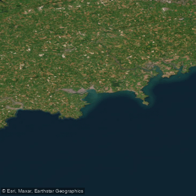
Western Celtic Sea (HAs 18;19;20)
Nore
Licky
Bride [Waterford]
Explore Waterford waters
Top fishing waters
No waters available right now.
Popular Cities
Loading popular cities...
Explore near Dungarvan Harbour
Fish species
Nearby waters
More in Co. Waterford

Smarter Fishing Starts in the App.
onWater Fish gives you everything you need to plan smarter, fish better, and own every trip from first cast to last.