Lough Ree
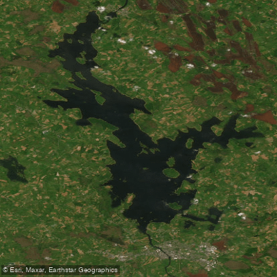
Lough Ree
- Boat Ramps
- 5
- Access Points
- 7
- Species
- 10
Lough Ree, known as the "Lake of the Kings," is the fifth-largest lake in Ireland by area, covering approximately 105 square kilometers (41 square miles). It is the second largest of the three major lakes on the River Shannon. The lake is studded with numerous islands and features a varied underwater landscape. While the greater part of the lake is relatively shallow, with depths less than 10 meters, it is characterized by six deep troughs running north to south. The maximum depth reaches about 36 meters just west of Inchmore, with a mean depth of 6.2 meters. The lake's water quality is classified as mesotrophic, but its size creates a range of conditions, leading to local variations in nutrient status and supporting diverse aquatic flora. Lough Ree is a designated Special Area of Conservation, renowned for its rich freshwater ecosystem and exceptional biodiversity, making it a premier destination for anglers seeking pike, trout, and coarse fish.
Species & education
Learn what type of fish are at Lough Ree and what's needed to catch them.

Find which waters have the species you want to catch

Brown Trout
Salmo trutta

Common Bream
Abramis brama

Common Gudgeon
Gobio gobio

Common Roach
Rutilus rutilus

European Eel
Anguilla anguilla

European Perch
Perca fluviatilis

Northern Pike
Esox lucius

Pollan
Coregonus pollan

Rudd
Scardinius erythrophthalmus

Tench
Tinca tinca
Fishing spots, boat ramps & amenities
Learn how to get on Lough Ree. Uncover great fishing access points, boat ramps, and all the facilities you need for an unforgettable day on the water. Some locations shown may border or include private property. Always check property boundaries and applicable regulations before visiting. onWater's Public & Private Land layer can help you plan your access with confidence.
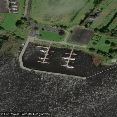
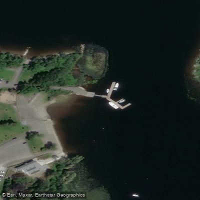
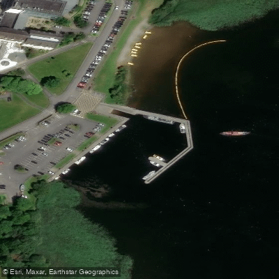
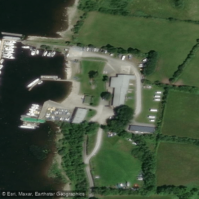
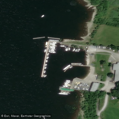
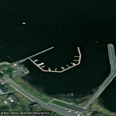
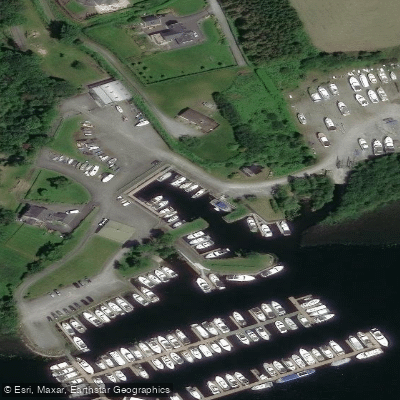
Know where you can legally fish on Lough Ree
See public and private land boundaries along the water, turn on private parcels with owner details to know where permission is required, and find land-trust parcels that offer permitted fishing access.
Co. Longford licenses and regulations
No licenses or regulations available for Co. Longford.
Take Lough Ree with you
The onWater Fish app keeps this water's access points, species and conditions in your pocket, with the tools you use once you're there.
Use the map without signal
Download the map around Lough Ree to use it offline when coverage drops.
Log your catches here
Keep a private fishing journal for Lough Ree to find where and when fish are biting for you.
HD depth charts from Garmin
Find drop offs, ledges, channels, points and shallow flats with Garmin depth charts in the app.
Get the onWater Fish app
Free on iOS and Android
Water and weather conditions (10 day forecast)
See the best times to fish Lough Ree and check the forecast before you go.
Hodsons Bay
All Flow Stations
Fishing near Lough Ree

Shannon [Upper]
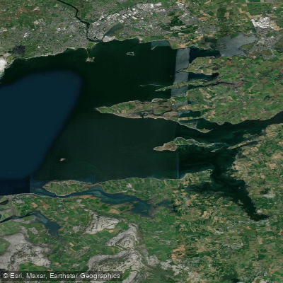
Inner Galway Bay South

Inny [Shannon]
Shannon [Lower]
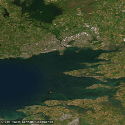
Inner Galway Bay North

Suck
Brosna
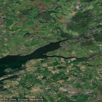
Dunbulcaun Bay
Boor
Explore Longford waters
Top fishing waters
No waters available right now.
Popular Cities
Loading popular cities...
Explore near Lough Ree
Fish species
Fishing spots
Nearby waters
More in Co. Longford

Smarter Fishing Starts in the App.
onWater Fish gives you everything you need to plan smarter, fish better, and own every trip from first cast to last.