Castlemaine Harbour
- Saltwater
- Estuary
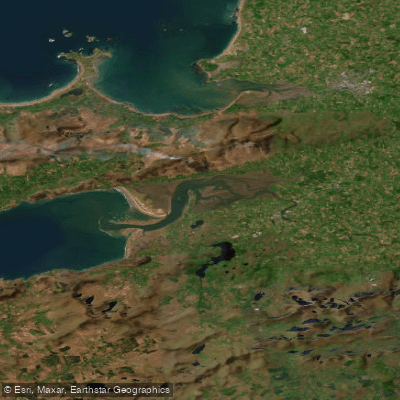
Castlemaine Harbour
- Saltwater
- Estuary
- Sq. miles
- 22
- Boat Ramps
- 0
- Access Points
- 0
- Species
- 2
Castlemaine Harbour is a vast, dynamic estuary located at the head of Dingle Bay in County Kerry, nestled between the Dingle and Iveragh Peninsulas. This is a place of immense ecological importance and angling potential, characterized by a complex and ever-changing landscape. The harbour is a transition zone where the fresh water and sediment from the River Laune and River Maine mix with the salt water, tides, and waves of the Atlantic. This creates a rich mosaic of habitats including extensive mudflats, sandbanks, saltmarshes, and winding channels. The area is protected from the full force of the ocean by tall sand dunes, which also contribute to the formation of renowned sandy beaches like Rossbeigh Strand. The entire ecosystem is designated as a Ramsar Wetland of International Importance, a Special Area of Conservation, and a Special Protection Area, underscoring its critical role for wildlife. For the angler, this translates to a nutrient-rich environment that supports a diverse range of fish species, with fishing opportunities available from shore, boat, and within the freshwater river systems that feed the estuary.
Species & education
Learn what type of fish are at Castlemaine Harbour and what's needed to catch them.



Fishing spots, boat ramps & amenities
Learn how to get on Castlemaine Harbour. Uncover great fishing access points, boat ramps, and all the facilities you need for an unforgettable day on the water. Some locations shown may border or include private property. Always check property boundaries and applicable regulations before visiting. onWater's Public & Private Land layer can help you plan your access with confidence.
Inch Beach and Rossbeigh Strand are iconic surf fishing locations for bass, offering clean sand and Atlantic surf. The channels and sloughs that wind through the mudflats are key areas to target as the tide moves, concentrating fish. The confluence areas where the River Laune and River Maine meet the saltwater are hotspots for migratory salmon and sea trout. The Cromane area is known for its shellfish beds, which attract foraging fish. A historic boulder causeway that forces tidal flow through a narrow, deepened channel is a notable structure, though its original purpose is unclear.
Know where you can legally fish on Castlemaine Harbour
See public and private land boundaries along the water, turn on private parcels with owner details to know where permission is required, and find land-trust parcels that offer permitted fishing access.
Co. Kerry licenses and regulations
No licenses or regulations available for Co. Kerry.
Take Castlemaine Harbour with you
The onWater Fish app keeps this water's access points, species and conditions in your pocket, with the tools you use once you're there.
Use the map without signal
Download the map around Castlemaine Harbour to use it offline when coverage drops.
Log your catches here
Keep a private fishing journal for Castlemaine Harbour to find where and when fish are biting for you.
Get the onWater Fish app
Free on iOS and Android
Tides, wind & water conditions (10 day forecast)
On open water, wind and tide matter as much as the weather. See the best times to fish Castlemaine Harbour and check the marine forecast before you launch.
Loading tide predictions…
Fishing near Castlemaine Harbour
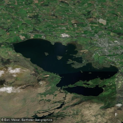
Lough Leane
Caragh
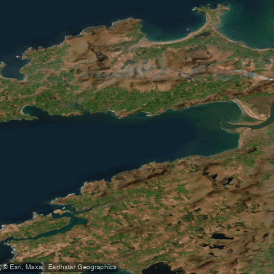
Dingle Bay - Bá an Daingin
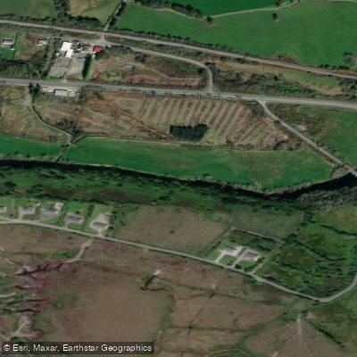
Flesk [Kerry]
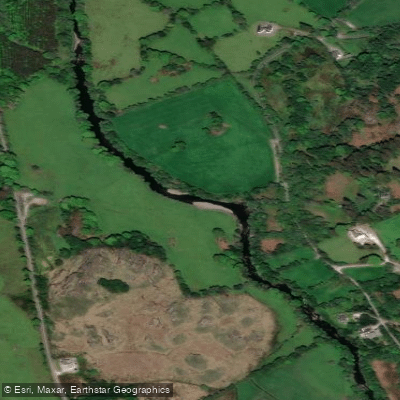
Sheen
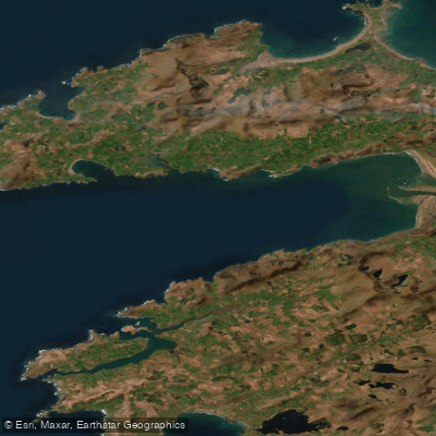
Outer Dingle Bay
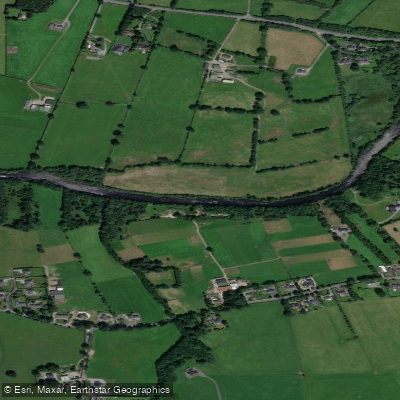
Laune
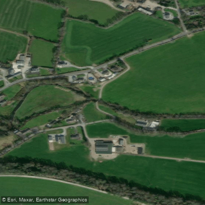
Deenagh
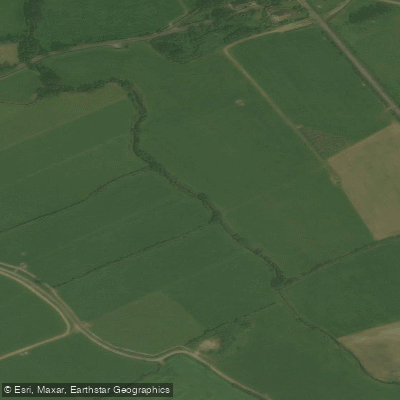
Owennashingaun 20
Explore Kerry waters
Top fishing waters
No waters available right now.
Popular Cities
Loading popular cities...
Explore near Castlemaine Harbour
Fish species
Nearby waters
More in Co. Kerry

Smarter Fishing Starts in the App.
onWater Fish gives you everything you need to plan smarter, fish better, and own every trip from first cast to last.