Brandon Bay
- Saltwater
- Bay
Brandon Bay
- Saltwater
- Bay
- Sq. miles
- 18
- Boat Ramps
- 0
- Access Points
- 0
- Species
- 14
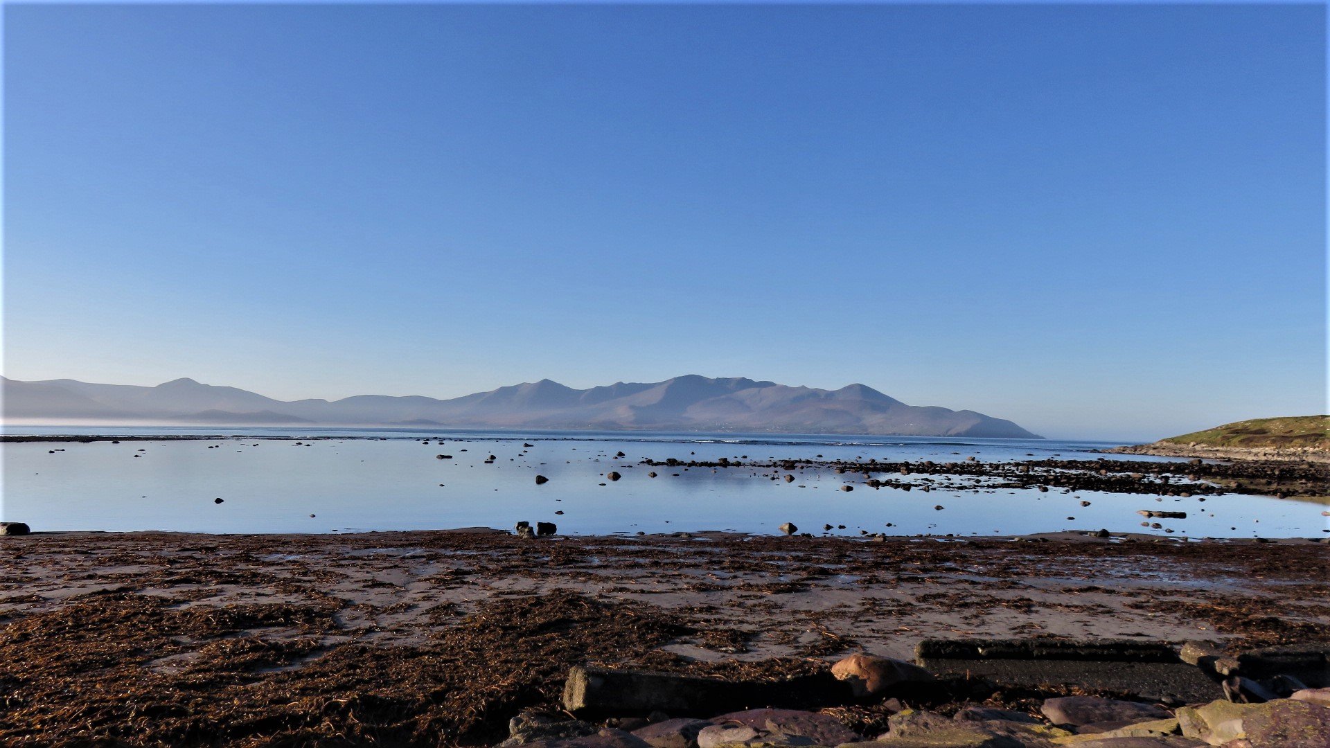
Nestled on the north coast of the Dingle Peninsula in County Kerry, Brandon Bay is a stunning, broad expanse of Atlantic coastline renowned for its exceptional shore and surf fishing. The bay stretches approximately seven miles between Brandon Point and the sandy peninsula separating it from Tralee Bay, offering a dramatic backdrop of high mountains, including Mount Brandon, Ireland's second tallest peak. This large, open bay provides good protection in moderate weather with offshore winds from the west through south but is fully exposed to northerly swells. The waters are home to a rich variety of marine species, making it a premier destination for anglers seeking bass, flatfish, rays, and more from its extensive sandy beaches and rocky outcrops.
Species & education
Learn what type of fish are at Brandon Bay and what's needed to catch them.

Find which waters have the species you want to catch

Bogue
Boops boops

Common Stingray
Dasyatis pastinaca

Conger Eel
Conger conger

Garfish
Belone belone

Grey Triggerfish
Balistes capriscus

Lesser Spotted Dogfish
Scyliorhinus canicula

Pollack
Pollachius pollachius

Sea Trout
Salmo trutta

Small-eyed Ray
Raja microocellata

Spotted Ray
Raja montagui

Thornback Ray
Raja clavata

Tope
Galeorhinus galeus

Turbot
Scophthalmus maximus

Undulate Ray
Raja undulata
Fishing spots, boat ramps & amenities
Learn how to get on Brandon Bay. Uncover great fishing access points, boat ramps, and all the facilities you need for an unforgettable day on the water. Some locations shown may border or include private property. Always check property boundaries and applicable regulations before visiting. onWater's Public & Private Land layer can help you plan your access with confidence.
The series of surf beaches along the bay are legendary marks. These include Derrymore Strand, Fermoyle Beach, Gowlane, Kilcummin, Castlegregory, Stradbally, and Ballinrannig Beach. These expansive sandy stretches are known for flatfish and bass, with specific gullies and channels holding rays and other species. Brandon Pier offers an alternative mark for pier fishing. Offshore, deeper water marks are accessible by boat.
Know where you can legally fish on Brandon Bay
See public and private land boundaries along the water, turn on private parcels with owner details to know where permission is required, and find land-trust parcels that offer permitted fishing access.
Co. Kerry licenses and regulations
No licenses or regulations available for Co. Kerry.
Take Brandon Bay with you
The onWater Fish app keeps this water's access points, species and conditions in your pocket, with the tools you use once you're there.
Use the map without signal
Download the map around Brandon Bay to use it offline when coverage drops.
Log your catches here
Keep a private fishing journal for Brandon Bay to find where and when fish are biting for you.
Get the onWater Fish app
Free on iOS and Android
Tides, wind & water conditions (10 day forecast)
On open water, wind and tide matter as much as the weather. See the best times to fish Brandon Bay and check the marine forecast before you launch.
Loading tide predictions…
Fishing near Brandon Bay
Caragh
Lough Leane
Dingle Bay - Bá an Daingin
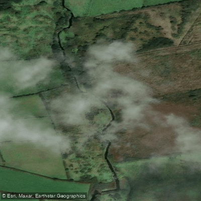
Milltown [Kerry]
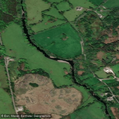
Sheen
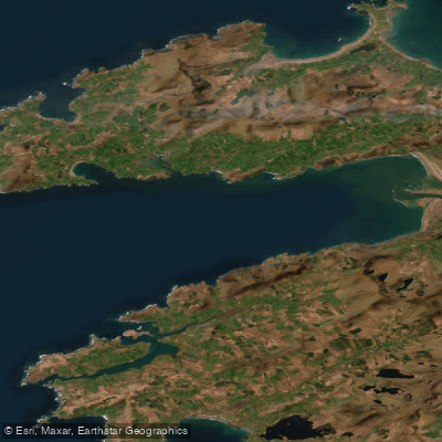
Outer Dingle Bay
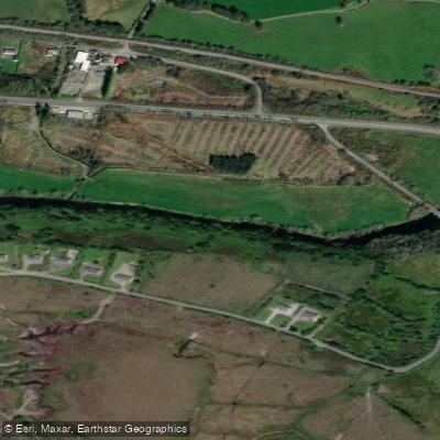
Flesk [Kerry]
Garfinny 22
Inny [Kerry]
Explore Kerry waters
Top fishing waters
No waters available right now.
Popular Cities
Loading popular cities...
Explore near Brandon Bay
Fish species
Nearby waters
More in Co. Kerry

Smarter Fishing Starts in the App.
onWater Fish gives you everything you need to plan smarter, fish better, and own every trip from first cast to last.