Rockabill
- Saltwater
- Bay

Rockabill
- Saltwater
- Bay
- Sq. miles
- 4.6
- Boat Ramps
- 0
- Access Points
- 0
- Species
- 7
Rockabill is a renowned offshore fishing ground and marine landmark located approximately four miles (6.5 km) northeast of Skerries in County Dublin. The area is dominated by the Rockabill Lighthouse, which stands over eighty feet tall on Carrig da Bheola, also known as Two Lips Rock. This is a classic Irish Sea mixed-ground mark, featuring rocky reefs around the base of the rock itself transitioning to sandy and mixed ground to the north near St. Patrick's Island. Depths around the lighthouse range from 7 to 9 fathoms (12.8 to 16.5 meters), while the grounds north of St. Patrick's Island drop to around 10 fathoms (18.3 meters). The area is a prime destination for small boat anglers launching from several harbours along the North Dublin coast, offering a diverse range of species throughout the year. The waters are also part of an important marine ecosystem, supporting significant seabird colonies.
Species & education
Learn what type of fish are at Rockabill and what's needed to catch them.

Find which waters have the species you want to catch

Bull Huss
Scyliorhinus stellaris

Coalfish
Pollachius virens

Conger Eel
Conger conger

Ling
Molva molva

Pollack
Pollachius pollachius

Spurdog
Squalus acanthias

Tope
Galeorhinus galeus
Fishing spots, boat ramps & amenities
Learn how to get on Rockabill. Uncover great fishing access points, boat ramps, and all the facilities you need for an unforgettable day on the water. Some locations shown may border or include private property. Always check property boundaries and applicable regulations before visiting. onWater's Public & Private Land layer can help you plan your access with confidence.
The primary offshore marks are the reefs around the base of Rockabill Lighthouse and the mixed ground area north of St. Patrick's Island in about 10 fathoms. Inshore, the navigation perch east of Red Island peninsula at Skerries is a known hotspot for mackerel, pollack, and coalfish. The waters around Lambay Island, approximately three miles southeast of Rush, offer similar fishing over reefs and sand. Several offshore wrecks in the broader area also attract attention for larger predatory species.
Know where you can legally fish on Rockabill
See public and private land boundaries along the water, turn on private parcels with owner details to know where permission is required, and find land-trust parcels that offer permitted fishing access.
Co. Dublin licenses and regulations
No licenses or regulations available for Co. Dublin.
Take Rockabill with you
The onWater Fish app keeps this water's access points, species and conditions in your pocket, with the tools you use once you're there.
Use the map without signal
Download the map around Rockabill to use it offline when coverage drops.
Log your catches here
Keep a private fishing journal for Rockabill to find where and when fish are biting for you.
Get the onWater Fish app
Free on iOS and Android
Tides, wind & water conditions (10 day forecast)
On open water, wind and tide matter as much as the weather. See the best times to fish Rockabill and check the marine forecast before you launch.
Loading tide predictions…
Fishing near Rockabill
Boyne
Tolka
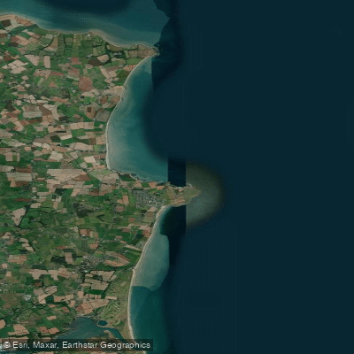
Louth Coast (HA 06)
Dodder
Liffey
Camac
Avonmore
Outer Dundalk Bay
Blackwater [Kells]
Explore Dublin waters
Top fishing waters
No waters available right now.
Popular Cities
Loading popular cities...
Explore near Rockabill
Nearby waters
More in Co. Dublin

Smarter Fishing Starts in the App.
onWater Fish gives you everything you need to plan smarter, fish better, and own every trip from first cast to last.