Deel [Newcastlewest]
Deel [Newcastlewest]
- Boat Ramps
- 0
- Access Points
- 0
- Species
- 5
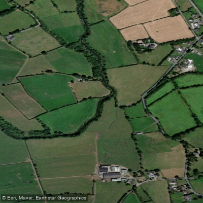
The River Deel near Newcastlewest is a charming and historically rich waterway flowing through County Limerick in the west of Ireland. Rising near Dromina in north County Cork, the river travels northward for over 60 kilometres before entering the Shannon Estuary at Askeaton. Along its course, it passes through Milford, Belville Bridge, Castlemahon (Mahoonagh), Newcastle West — running roughly parallel to the main N21 Limerick-Killarney road — and on through Rathkeale before reaching its estuary confluence. The river's very name reflects its character: derived from the Irish word daol, meaning beetle, insect, or worm, a reference to the river's winding, sinuous course through the Limerick countryside. This is a classic Irish lowland river offering trout fishing in a pastoral, agricultural landscape.
Species & education
Learn what type of fish are at Deel [Newcastlewest] and what's needed to catch them.

Find which waters have the species you want to catch

Atlantic Salmon
Salmo salar

Brown Trout
Salmo trutta

Common Gudgeon
Gobio gobio

Eurasian Minnow
Phoxinus phoxinus

European Eel
Anguilla anguilla
Fishing spots, boat ramps & amenities
Learn how to get on Deel [Newcastlewest]. Uncover great fishing access points, boat ramps, and all the facilities you need for an unforgettable day on the water. Some locations shown may border or include private property. Always check property boundaries and applicable regulations before visiting. onWater's Public & Private Land layer can help you plan your access with confidence.
Know where you can legally fish on Deel [Newcastlewest]
See public and private land boundaries along the water, turn on private parcels with owner details to know where permission is required, and find land-trust parcels that offer permitted fishing access.
Co. Cork licenses and regulations
No licenses or regulations available for Co. Cork.
Take Deel [Newcastlewest] with you
The onWater Fish app keeps this water's access points, species and conditions in your pocket, with the tools you use once you're there.
Use the map without signal
Download the map around Deel [Newcastlewest] to use it offline when coverage drops.
Log your catches here
Keep a private fishing journal for Deel [Newcastlewest] to find where and when fish are biting for you.
Get the onWater Fish app
Free on iOS and Android
Water and weather conditions (10 day forecast)
See the best times to fish Deel [Newcastlewest] and check the forecast before you go.
Deel Bridge
All Flow Stations
Fishing near Deel [Newcastlewest]
Shannon [Lower]
Shannon Estuary
Doonah 27
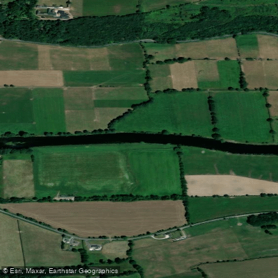
Blackwater [Munster]
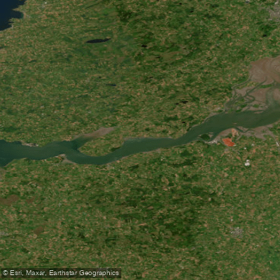
Lower Shannon Estuary
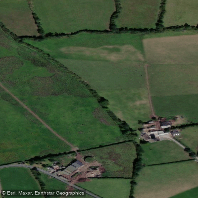
Clonshire
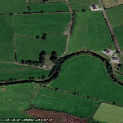
Galey
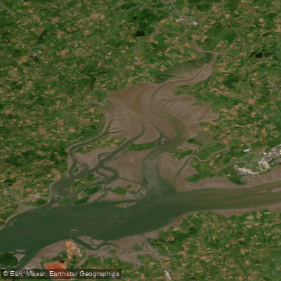
Fergus Estuary
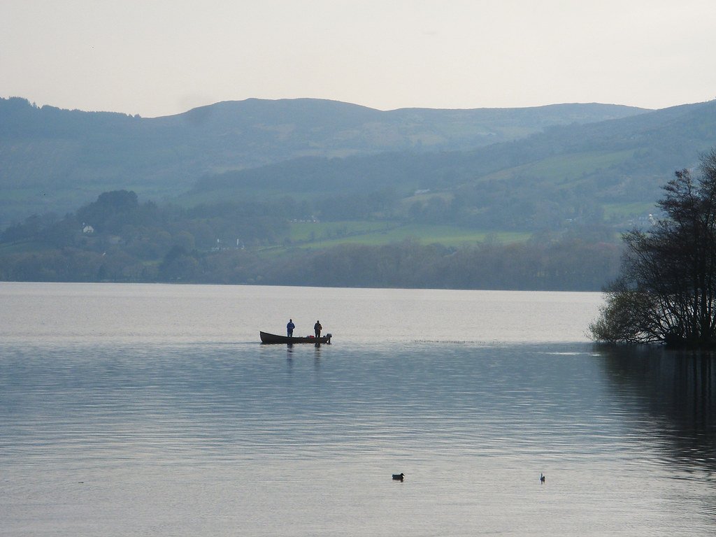
Lough Derg
Explore Cork waters
Top fishing waters
No waters available right now.
Popular Cities
Loading popular cities...
Explore near Deel [Newcastlewest]

Smarter Fishing Starts in the App.
onWater Fish gives you everything you need to plan smarter, fish better, and own every trip from first cast to last.