Liscannor Bay
- Saltwater
- Bay
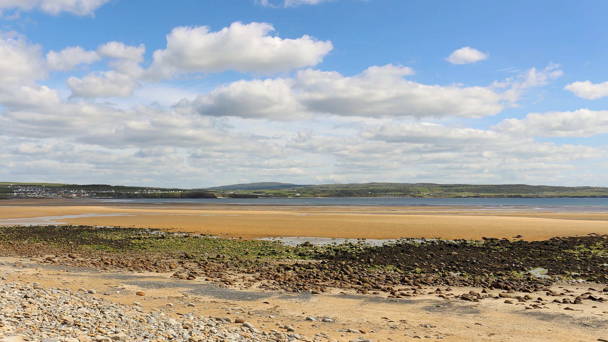
Liscannor Bay
- Saltwater
- Bay
- Sq. miles
- 12
- Boat Ramps
- 0
- Access Points
- 0
- Species
- 3
Liscannor Bay is a broad, open bay on the west coast of County Clare, Ireland, indenting the coastline between the villages of Lahinch and Doolin. It faces the Atlantic Ocean and offers panoramic views towards the Aran Islands. The bay is characterized by a mix of rocky shores, hidden coves, fascinating rock formations, and a shallow, protected fishing harbour at the village of Liscannor itself. The seabed has been mapped in high resolution, revealing a complex underwater landscape beneath the iconic Cliffs of Moher. As a traditional fishing village, Liscannor retains a strong connection to the sea, with its harbour remaining a hive of both commercial and recreational fishing activity. The area is exposed to the full force of the Atlantic, making conditions highly dependent on weather and swell.
Species & education
Learn what type of fish are at Liscannor Bay and what's needed to catch them.

Find which waters have the species you want to catch

Bull Huss
Scyliorhinus stellaris

European Plaice
Pleuronectes platessa

Lesser Spotted Dogfish
Scyliorhinus canicula
Fishing spots, boat ramps & amenities
Learn how to get on Liscannor Bay. Uncover great fishing access points, boat ramps, and all the facilities you need for an unforgettable day on the water. Some locations shown may border or include private property. Always check property boundaries and applicable regulations before visiting. onWater's Public & Private Land layer can help you plan your access with confidence.
The rocky shores around Liscannor Bay hide numerous productive coves and gullies where pollack and bass ambush prey. The surf beaches, where anglers target bass, are prime locations. The shallow fishing quay and protected harbour in Liscannor village provide easy access for pier fishing and are launch points for boats. The extensive bay itself holds fish over its varied seabed, which includes reefs and channels mapped by INFOMAR. The area around Kilstiffin Reef is a noted underwater structure.
Know where you can legally fish on Liscannor Bay
See public and private land boundaries along the water, turn on private parcels with owner details to know where permission is required, and find land-trust parcels that offer permitted fishing access.
Co. Clare licenses and regulations
No licenses or regulations available for Co. Clare.
Take Liscannor Bay with you
The onWater Fish app keeps this water's access points, species and conditions in your pocket, with the tools you use once you're there.
Use the map without signal
Download the map around Liscannor Bay to use it offline when coverage drops.
Log your catches here
Keep a private fishing journal for Liscannor Bay to find where and when fish are biting for you.
Get the onWater Fish app
Free on iOS and Android
Tides, wind & water conditions (10 day forecast)
On open water, wind and tide matter as much as the weather. See the best times to fish Liscannor Bay and check the marine forecast before you launch.
Loading tide predictions…
Fishing near Liscannor Bay
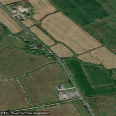
Doonah 27

Lough Corrib
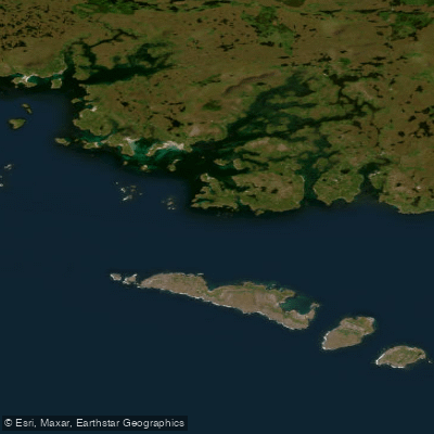
Aran Islands, Galway Bay, Connemara (HAs 29;31)
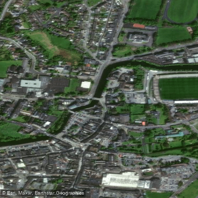
Fergus
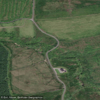
Aille [Clare]
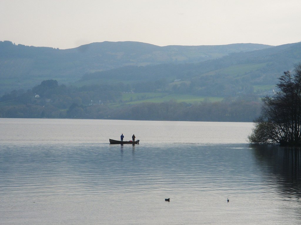
Lough Derg
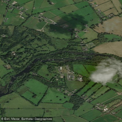
Shannon [Lower]
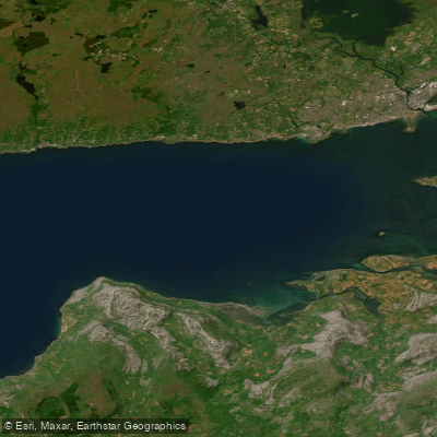
Outer Galway Bay
Doonbeg
Explore Clare waters
Top fishing waters
No waters available right now.
Popular Cities
Loading popular cities...
Explore near Liscannor Bay

Smarter Fishing Starts in the App.
onWater Fish gives you everything you need to plan smarter, fish better, and own every trip from first cast to last.