Lough Ramor
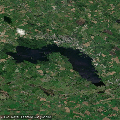
Lough Ramor
- Boat Ramps
- 0
- Access Points
- 1
- Species
- 0
Lough Ramor is a large glacial lake situated just south of the town of Virginia in County Cavan, Ireland, approximately 90 meters above sea level and only 1.5 hours from Dublin. Covering roughly 713–741 hectares and stretching approximately 4 miles long with an average width of half a mile, it is the largest lake in the Boyne catchment. The lake was formed by melting ice at the end of the last Ice Age, approximately ten thousand years ago, and sits on a bed of sandstone surrounded predominantly by rich agricultural pasture. The River Blackwater both flows into and out of Lough Ramor, carrying its waters approximately 3 miles through County Cavan before entering County Meath. Lough Ramor is a proposed Natural Heritage Area (pNHA), and the Blackwater into which it drains is designated a Special Area of Conservation (SAC) under the Natura 2000 wildlife habitat conservation programme. The lake is well known as an excellent pike and coarse fishery, drawing anglers from across Ireland and beyond, with brown trout fishing also available during the mayfly season.
Species & education
Learn what type of fish are at Lough Ramor and what's needed to catch them.
No species information available.
Fishing spots, boat ramps & amenities
Learn how to get on Lough Ramor. Uncover great fishing access points, boat ramps, and all the facilities you need for an unforgettable day on the water. Some locations shown may border or include private property. Always check property boundaries and applicable regulations before visiting. onWater's Public & Private Land layer can help you plan your access with confidence.
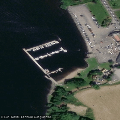
Know where you can legally fish on Lough Ramor
See public and private land boundaries along the water, turn on private parcels with owner details to know where permission is required, and find land-trust parcels that offer permitted fishing access.
Co. Cavan licenses and regulations
No licenses or regulations available for Co. Cavan.
Take Lough Ramor with you
The onWater Fish app keeps this water's access points, species and conditions in your pocket, with the tools you use once you're there.
Use the map without signal
Download the map around Lough Ramor to use it offline when coverage drops.
Log your catches here
Keep a private fishing journal for Lough Ramor to find where and when fish are biting for you.
HD depth charts from Garmin
Find drop offs, ledges, channels, points and shallow flats with Garmin depth charts in the app.
Get the onWater Fish app
Free on iOS and Android
Water and weather conditions (10 day forecast)
See the best times to fish Lough Ramor and check the forecast before you go.
Stramatt
All Flow Stations
Fishing near Lough Ramor

Inny [Shannon]
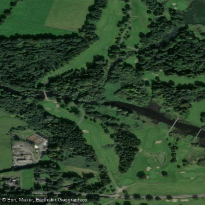
Blackwater [Kells]
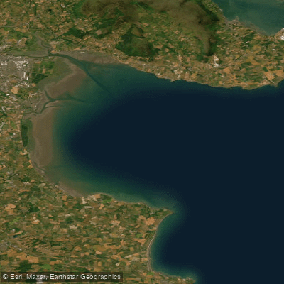
Outer Dundalk Bay
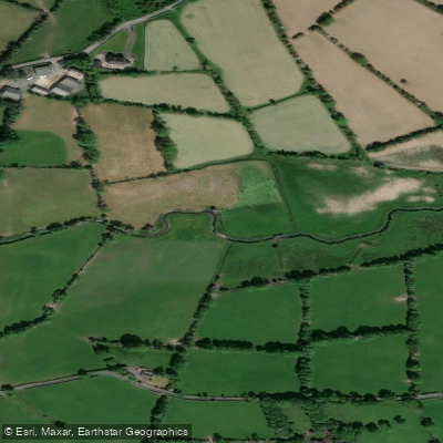
Dromore 36
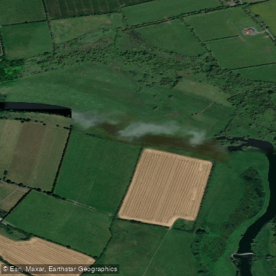
Boyne
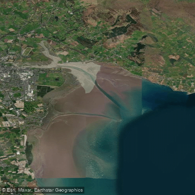
Inner Dundalk Bay
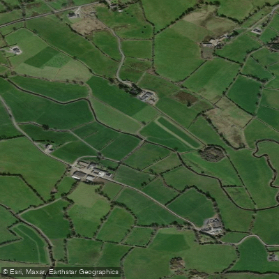
Erne
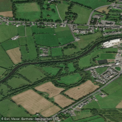
Brosna
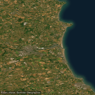
Boyne Estuary
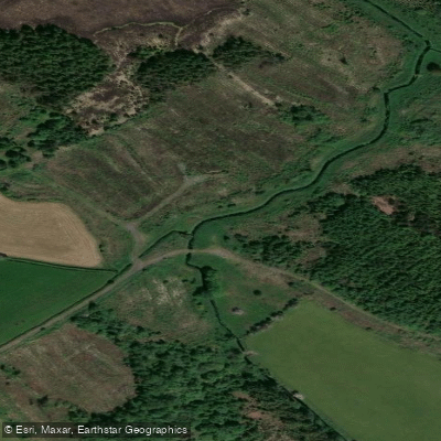
Lislea 07
Explore Cavan waters
Top fishing waters
No waters available right now.
Popular Cities
Loading popular cities...
Explore near Lough Ramor

Smarter Fishing Starts in the App.
onWater Fish gives you everything you need to plan smarter, fish better, and own every trip from first cast to last.