Glyde
Glyde
- Boat Ramps
- 0
- Access Points
- 0
- Species
- 1
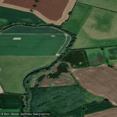
The River Glyde is a classic Irish lowland river flowing approximately 35 miles in a southeasterly direction before emptying into the Irish Sea at the picturesque seaside village of Annagassan in County Louth. The river owes its origins to a series of smaller tributaries rising in Counties Cavan and Monaghan, including the Tubermannin and Killany Rivers, both of which hold stocks of brown trout. The upper reaches of the Glyde are known as the Lagan River, which is deep and slow flowing. The Lagan and Killany Rivers meet at Tully in County Louth to form the main River Glyde. The catchment drains approximately 391 square kilometres of mid-Louth, with the river rising at an altitude of around 300 metres on the Cavan-Monaghan borders. The Glyde's two principal tributaries are the Longfield River, draining the Carrickmacross area, and the Lagan River. The river's meandering course through agricultural lowland landscapes creates ecological corridors and provides gravelly substrates ideal for fish spawning. The Glyde and neighbouring River Dee join together approximately one kilometre from the sea at Annagassan at the southern end of Dundalk Bay.
Species & education
Learn what type of fish are at Glyde and what's needed to catch them.

Find which waters have the species you want to catch

European Eel
Anguilla anguilla
Fishing spots, boat ramps & amenities
Learn how to get on Glyde. Uncover great fishing access points, boat ramps, and all the facilities you need for an unforgettable day on the water. Some locations shown may border or include private property. Always check property boundaries and applicable regulations before visiting. onWater's Public & Private Land layer can help you plan your access with confidence.
Know where you can legally fish on Glyde
See public and private land boundaries along the water, turn on private parcels with owner details to know where permission is required, and find land-trust parcels that offer permitted fishing access.
Co. Cavan licenses and regulations
No licenses or regulations available for Co. Cavan.
Take Glyde with you
The onWater Fish app keeps this water's access points, species and conditions in your pocket, with the tools you use once you're there.
Use the map without signal
Download the map around Glyde to use it offline when coverage drops.
Log your catches here
Keep a private fishing journal for Glyde to find where and when fish are biting for you.
Get the onWater Fish app
Free on iOS and Android
Water and weather conditions (10 day forecast)
See the best times to fish Glyde and check the forecast before you go.
Tallanstown
All Flow Stations
Fishing near Glyde
Dromore 36
Boyne
Outer Dundalk Bay
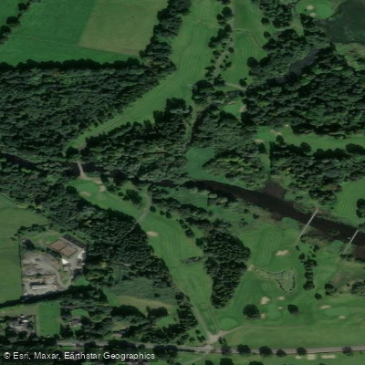
Blackwater [Kells]

Inny [Shannon]
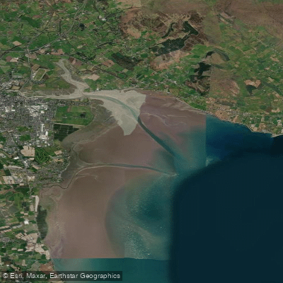
Inner Dundalk Bay
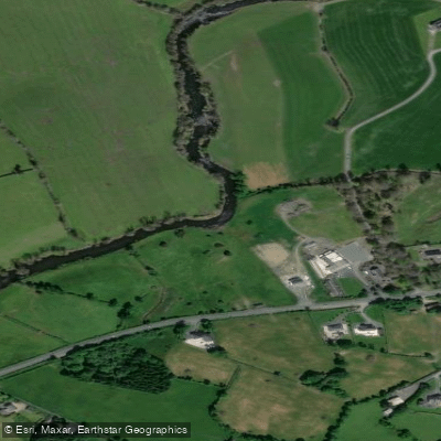
Annalee
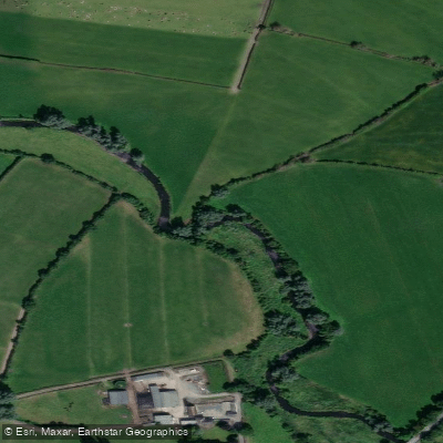
Fane
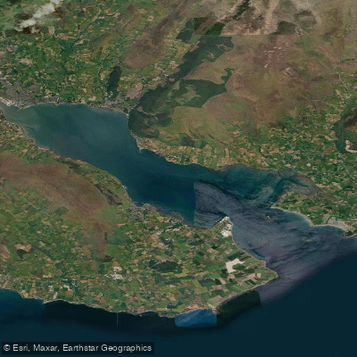
Carlingford Lough
Tolka
Explore Cavan waters
Top fishing waters
No waters available right now.
Popular Cities
Loading popular cities...
Explore near Glyde
Fish species
Nearby waters
More in Co. Cavan

Smarter Fishing Starts in the App.
onWater Fish gives you everything you need to plan smarter, fish better, and own every trip from first cast to last.