Bahía Windhond
- Saltwater
- Bay
Bahía Windhond
- Saltwater
- Bay
- Sq. miles
- 47
- Boat Ramps
- 0
- Access Points
- 0
- Species
- 0
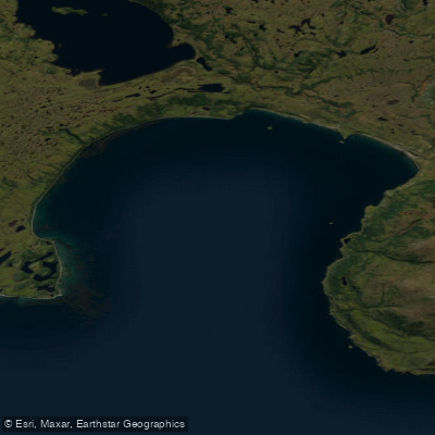
Bahía Windhond is a large, open bay on the southern coast of Isla Navarino within the remote Provincia de la Antártica Chilena, Chile. The bay is approximately 5 nautical miles wide from east to west and extends 6.5 nautical miles inland from its mouth, creating a significant expanse of sheltered yet exposed saltwater. The region has a rich history, having been inhabited by the Yagán people for millennia and later explored by European expeditions. The climate is maritime with consistent temperatures year-round, though the area is notorious for persistent inclement weather. The bay is characterized by a uniform, clean bottom and is flanked by low-lying coasts, making it highly susceptible to the prevailing westerly winds which can generate heavy, dangerous seas within the bay itself.
Species & education
Learn what type of fish are at Bahía Windhond and what's needed to catch them.
No species information available.
Fishing spots, boat ramps & amenities
Learn how to get on Bahía Windhond. Uncover great fishing access points, boat ramps, and all the facilities you need for an unforgettable day on the water. Some locations shown may border or include private property. Always check property boundaries and applicable regulations before visiting. onWater's Public & Private Land layer can help you plan your access with confidence.
The bay features an extensive underwater forest of Macrocystis pyrifera (giant kelp), which creates a significant zone of habitat and high algal diversity. These kelp forests are prominent ecological features that would attract baitfish and potentially predatory species. The bay's bottom is uniform and clean.
Know where you can legally fish on Bahía Windhond
See public and private land boundaries along the water, turn on private parcels with owner details to know where permission is required, and find land-trust parcels that offer permitted fishing access.
Magallanes licenses and regulations
No licenses or regulations available for Magallanes.
Take Bahía Windhond with you
The onWater Fish app keeps this water's access points, species and conditions in your pocket, with the tools you use once you're there.
Use the map without signal
Download the map around Bahía Windhond to use it offline when coverage drops.
Log your catches here
Keep a private fishing journal for Bahía Windhond to find where and when fish are biting for you.
Get the onWater Fish app
Free on iOS and Android
Tides, wind & water conditions (10 day forecast)
On open water, wind and tide matter as much as the weather. See the best times to fish Bahía Windhond and check the marine forecast before you launch.
Loading tide predictions…
Fishing near Bahía Windhond
Lago Windhond
Río Los Bronces
Paso Oglander
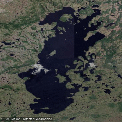
Lago Navarino
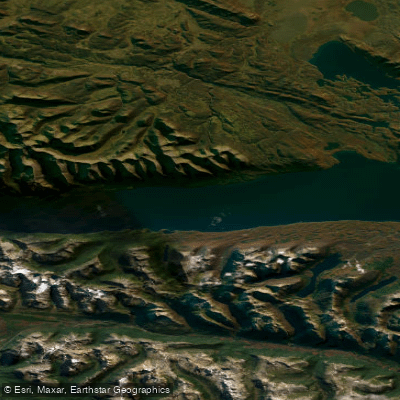
Lago Fagnano
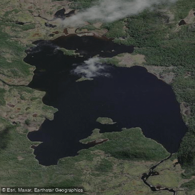
Lago Pilushejan
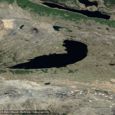
Lago de Gasperi
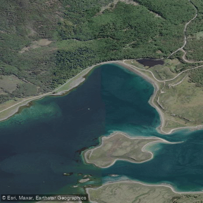
Bahía Almirante Brown
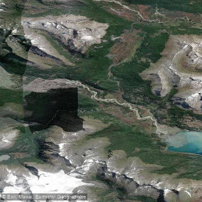
Río Yendegaia
Explore Magallanes waters
Top fishing waters
No waters available right now.
Popular Cities
Loading popular cities...
Explore near Bahía Windhond

Smarter Fishing Starts in the App.
onWater Fish gives you everything you need to plan smarter, fish better, and own every trip from first cast to last.