Bahía Lee
- Saltwater
- Bay
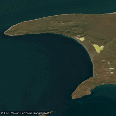
Bahía Lee
- Saltwater
- Bay
- Sq. miles
- 33
- Boat Ramps
- 0
- Access Points
- 0
- Species
- 1
Bahía Lee is a coastal bay situated on the northern shore of the Isla Grande de Tierra del Fuego, within the Magallanes region of Chilean Patagonia. It lies along the eastern reaches of the Strait of Magellan, between Cabo San Vicente to the west and Punta Zegers to the east. The bay's waters are part of a dynamic and productive marine ecosystem influenced by the cold, nutrient-rich currents of the strait. The surrounding landscape is characterized by Patagonian steppe vegetation, including grasses like Festuca and Stipa, and sub-shrub species such as Chiliotrichium diffusum and Empetrum rubrum. The area is remote, with the primary human presence historically tied to ranching, as evidenced by the nearby Olga Sofía – Bahía Lee ranch.
Species & education
Learn what type of fish are at Bahía Lee and what's needed to catch them.

Find which waters have the species you want to catch

Chilean Jack Mackerel
Trachurus murphyi
Fishing spots, boat ramps & amenities
Learn how to get on Bahía Lee. Uncover great fishing access points, boat ramps, and all the facilities you need for an unforgettable day on the water. Some locations shown may border or include private property. Always check property boundaries and applicable regulations before visiting. onWater's Public & Private Land layer can help you plan your access with confidence.
Anglers should focus on areas with natural structure that concentrates fish. Points of land like Cabo San Vicente and Punta Zegers create current seams and upwellings. The subtidal areas, potentially including the "banco nuevo" (new bank) marked by a black buoy in historical navigation notes, indicate underwater shoals or reefs that attract bait and predators. The entire coastline within the bay offers opportunities, with particular attention to areas where bird activity is high.
Know where you can legally fish on Bahía Lee
See public and private land boundaries along the water, turn on private parcels with owner details to know where permission is required, and find land-trust parcels that offer permitted fishing access.
Magallanes licenses and regulations
No licenses or regulations available for Magallanes.
Take Bahía Lee with you
The onWater Fish app keeps this water's access points, species and conditions in your pocket, with the tools you use once you're there.
Use the map without signal
Download the map around Bahía Lee to use it offline when coverage drops.
Log your catches here
Keep a private fishing journal for Bahía Lee to find where and when fish are biting for you.
Get the onWater Fish app
Free on iOS and Android
Tides, wind & water conditions (10 day forecast)
On open water, wind and tide matter as much as the weather. See the best times to fish Bahía Lee and check the marine forecast before you launch.
Loading tide predictions…
Fishing near Bahía Lee
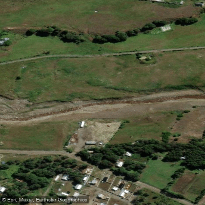
Río De Las Minas
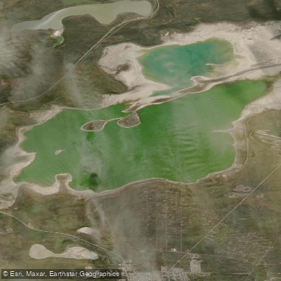
Laguna de los Cisnes
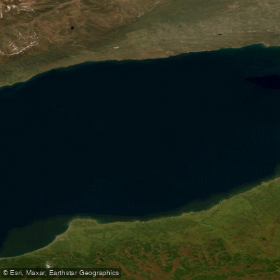
Bahía Inútil
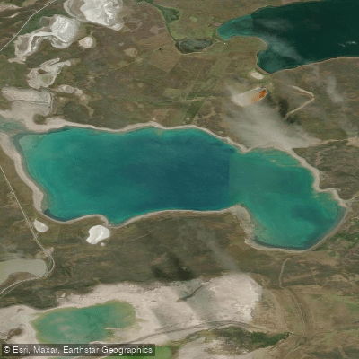
Laguna Verde
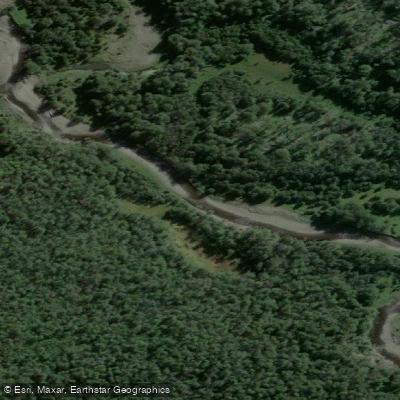
Río San Juan
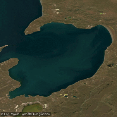
Bahía Gente Grande
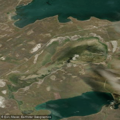
Laguna Deseada
Río Serrano
Río Canelo
Explore Magallanes waters
Top fishing waters
No waters available right now.
Popular Cities
Loading popular cities...
Explore near Bahía Lee
Fish species
Nearby waters
More in Magallanes

Smarter Fishing Starts in the App.
onWater Fish gives you everything you need to plan smarter, fish better, and own every trip from first cast to last.