Lago Todos Los Santos
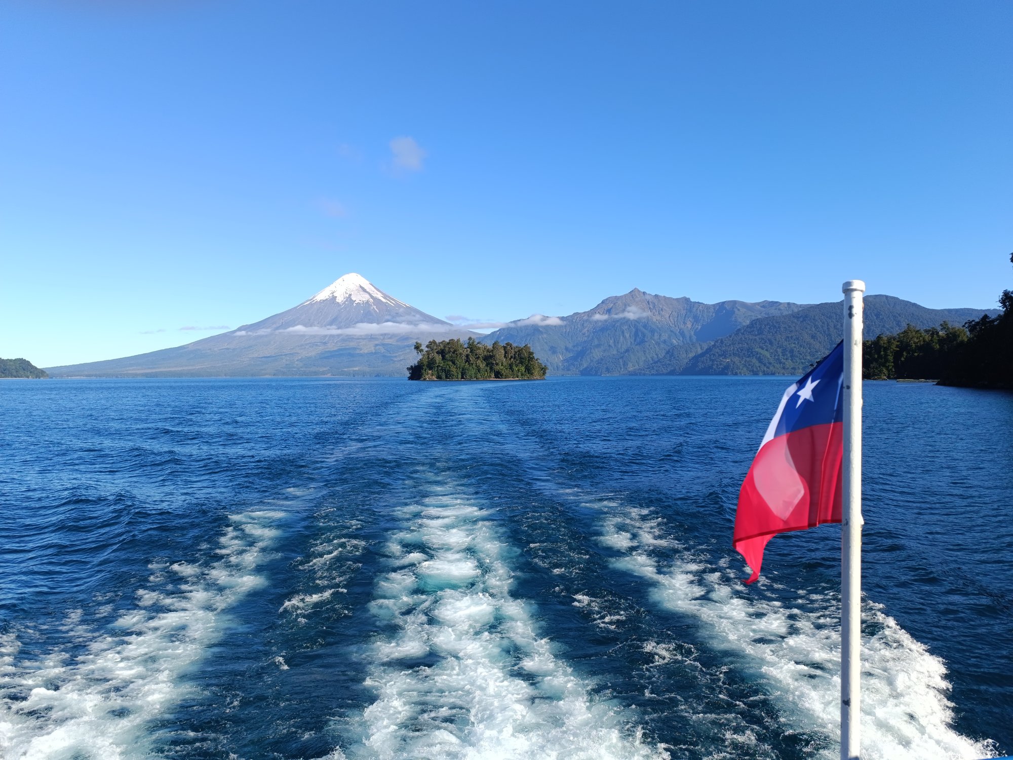
Lago Todos Los Santos
- Boat Ramps
- 0
- Access Points
- 2
- Species
- 0
Lago Todos los Santos is one of South America's most spectacular fishing destinations, a vast glacially-carved lake nestled within the Vicente Pérez Rosales National Park in Chile's Los Lagos Region, approximately 96 km northeast of Puerto Montt and 76 km east of Puerto Varas. Sitting at an elevation of 189 meters above sea level, the lake stretches 32 km in length and up to 16 km in width, covering a surface area of 178.5 km². Its waters are extraordinarily deep, with an average depth of 190 m and a maximum depth of 337 m, giving it a water volume of 33.9 km³. The lake is monomictic in nature, meaning it undergoes a single annual mixing cycle. The surrounding landscape is dominated by old-growth Valdivian temperate rainforest — the Andean variety — with coihue (Nothofagus dombeyi) and ulmo (Eucryphia cordifolia) blanketing the steep hillsides that plunge toward the shoreline. Three snow-capped volcanic peaks frame the lake: Volcán Osorno to the west, Volcán Puntiagudo to the north, and Tronador to the east. The lake's waters are renowned for their exceptional clarity, a product of the oligotrophic conditions that characterize this pristine Andean environment. The lake has two main ports — Petrohué at its western end and the village of Peulla at its eastern end — with no road connecting the two, making boat travel the primary means of navigating the lake's full length.
Species & education
Learn what type of fish are at Lago Todos Los Santos and what's needed to catch them.
No species information available.
Fishing spots, boat ramps & amenities
Learn how to get on Lago Todos Los Santos. Uncover great fishing access points, boat ramps, and all the facilities you need for an unforgettable day on the water. Some locations shown may border or include private property. Always check property boundaries and applicable regulations before visiting. onWater's Public & Private Land layer can help you plan your access with confidence.
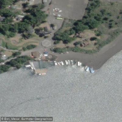
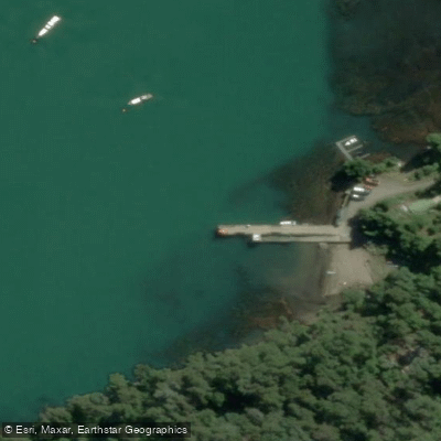
Know where you can legally fish on Lago Todos Los Santos
See public and private land boundaries along the water, turn on private parcels with owner details to know where permission is required, and find land-trust parcels that offer permitted fishing access.
Los Lagos licenses and regulations
No licenses or regulations available for Los Lagos.
Take Lago Todos Los Santos with you
The onWater Fish app keeps this water's access points, species and conditions in your pocket, with the tools you use once you're there.
Use the map without signal
Download the map around Lago Todos Los Santos to use it offline when coverage drops.
Log your catches here
Keep a private fishing journal for Lago Todos Los Santos to find where and when fish are biting for you.
HD depth charts from Garmin
Find drop offs, ledges, channels, points and shallow flats with Garmin depth charts in the app.
Get the onWater Fish app
Free on iOS and Android
Water and weather conditions (10 day forecast)
See the best times to fish Lago Todos Los Santos and check the forecast before you go.
Rio Petrohue En Desague Lago Todos Los Santos
Fishing near Lago Todos Los Santos
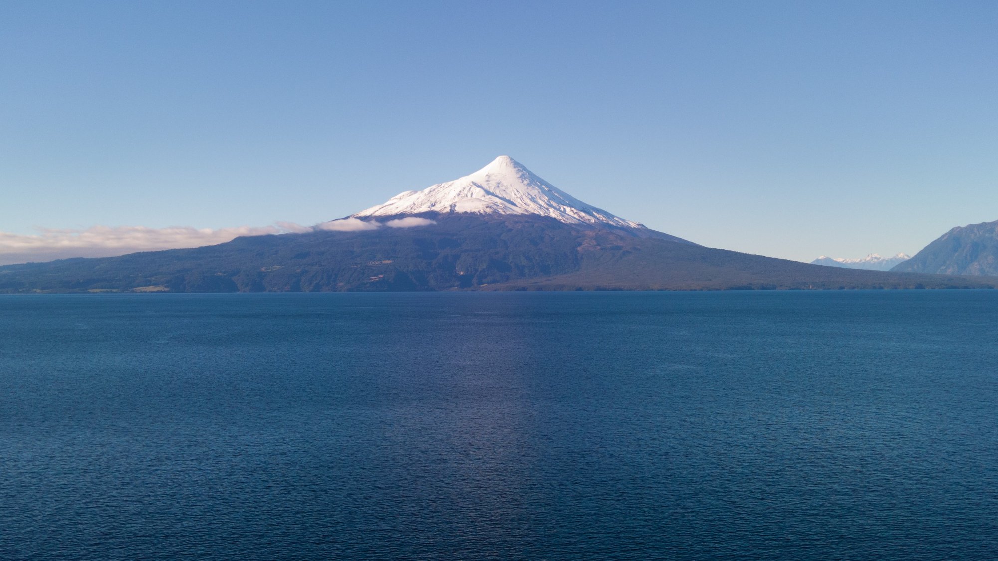
Lago Llanquihue
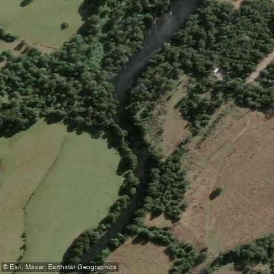
Río Maullín
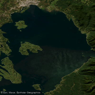
Seno de Reloncaví
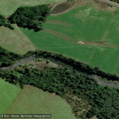
Río Chamiza
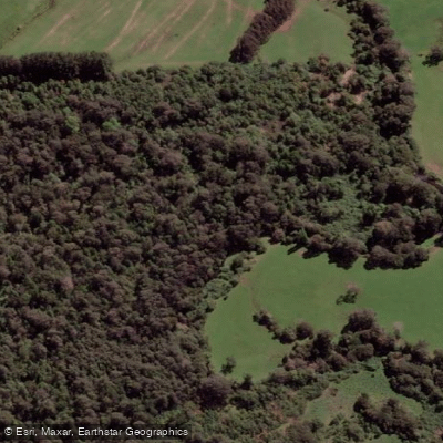
Río Colegual
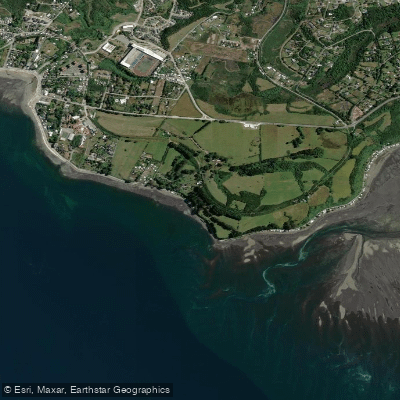
Playa Pelluhuin
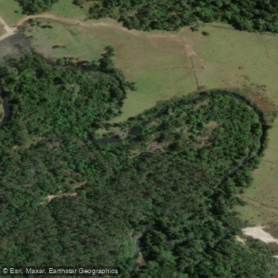
Río Negro
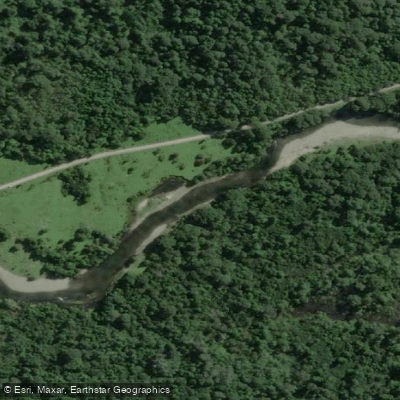
Río Lenca
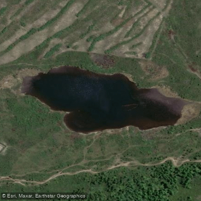
Laguna Valle Volcanes
Río Cochamó
Explore Los Lagos waters
Top fishing waters
No waters available right now.
Popular Cities
Loading popular cities...
Explore near Lago Todos Los Santos

Smarter Fishing Starts in the App.
onWater Fish gives you everything you need to plan smarter, fish better, and own every trip from first cast to last.