Lago General Pinto Concha
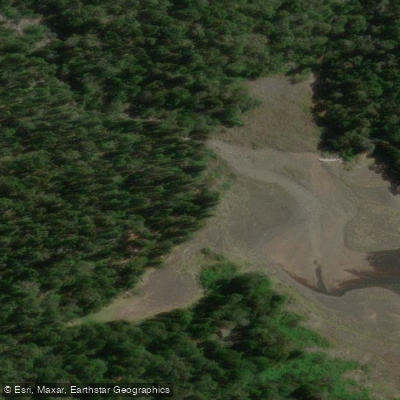
Lago General Pinto Concha
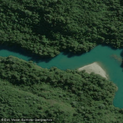
Lago General Pinto Concha sits at 894 meters elevation within Parque Nacional Hornopirén, in the comuna of Hualaihué, Los Lagos Region. The lake covers 475 hectares and is known for its crystal-clear waters and dense surrounding forest.
It lies along the Carretera Austral corridor and is reached via an approximately 11-kilometer trail from the park entrance — a muddy but rewarding route rated moderate to difficult.
A designated camping area near the lakeshore provides picnic tables, benches, and two latrines, though many visitors prefer to pitch tents closer to the water's edge.
From this base, two trails branch out: a circuit around the lake (roughly 3 hours) and a longer route to a viewpoint overlooking Volcán Yates (approximately 4 hours one way).
A separate track from the camping sector heads north around the lake and continues over a pass toward the locality of Puelo.
More ways to access Lago General Pinto Concha
Explore the wonders of Lago General Pinto Concha! Find excellent fishing spots, easy access to boat ramps, and all the amenities you need for a memorable day by the water. Your adventure starts here.
Water and weather conditions (10 day forecast)
Check the forecast at Lago General Pinto Concha before you go fishing.
No forecast data available.
Fishing near Lago General Pinto Concha
Río Maullín
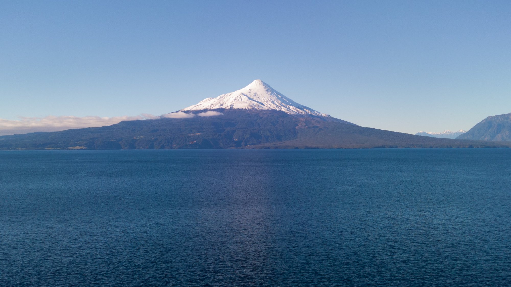
Lago Llanquihue
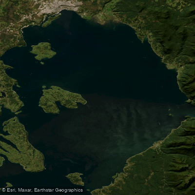
Seno de Reloncaví
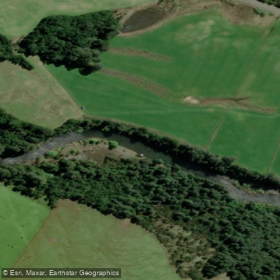
Río Chamiza
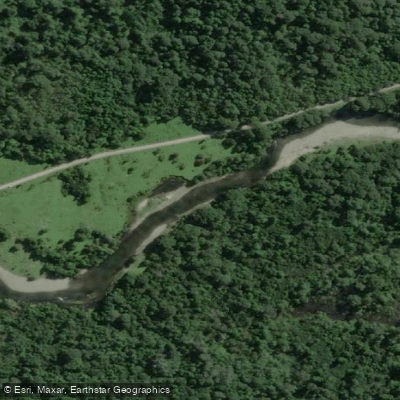
Río Lenca
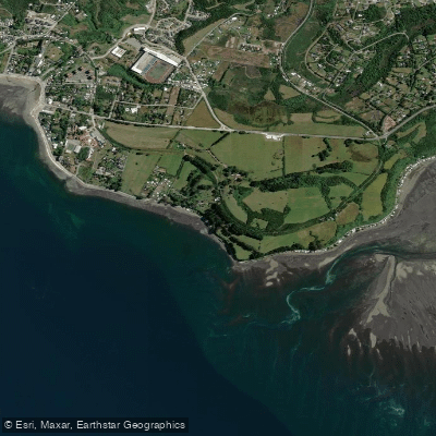
Playa Pelluhuin
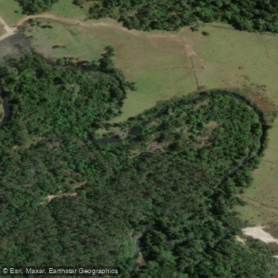
Río Negro
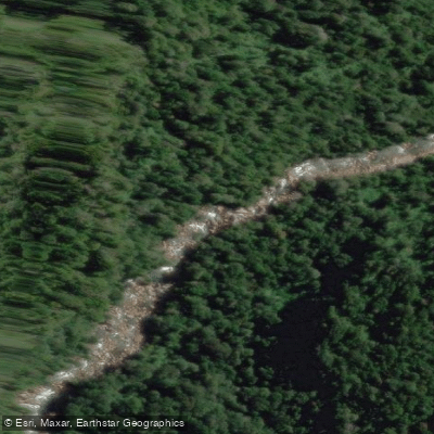
Río Cochamó
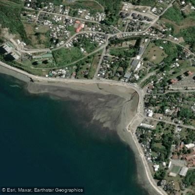
Playa Pelluco
Río Puelo
Los Lagos licenses and regulations
Explore Los Lagos waters
Top fishing waters
No waters available right now.
Popular Cities
Loading popular cities...
Explore near Lago General Pinto Concha
On this water
Nearby waters
More in Los Lagos

Smarter Fishing Starts in the App.
onWater Fish gives you everything you need to plan smarter, fish better, and own every trip from first cast to last.