Río Cautín
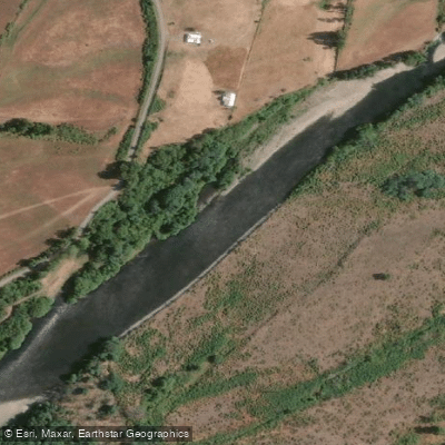
Río Cautín
- Boat Ramps
- 0
- Access Points
- 0
- Species
- 1
Flowing 174 kilometers through the heart of Chile's Araucanía Region, the Río Cautín is one of the most celebrated fly fishing destinations in South America. Born at 1,850 meters elevation on the southern slopes of Volcán Lonquimay, within the dramatic amphitheater formed by the Cordillera de las Raíces, the river descends through emerald-green canyon walls and fertile valleys before joining the Río Imperial near the coast. The Mapuche name "Cautín" itself translates to "very green," a fitting description for the river's signature crystalline, emerald-tinted waters. With a drainage basin of approximately 3,100 square kilometers and a mixed hydrological regime fed by snowmelt in summer and rainfall in winter, the Cautín offers a dynamic and productive fishery across a wide range of conditions. Its densely forested canyon sections, broad valley stretches, and wild pocket water make it a destination that rewards both the seasoned angler and the adventurous explorer.
Species & education
Learn what type of fish are at Río Cautín and what's needed to catch them.

Find which waters have the species you want to catch

Rainbow Trout
Oncorhynchus mykiss
Fishing spots, boat ramps & amenities
Learn how to get on Río Cautín. Uncover great fishing access points, boat ramps, and all the facilities you need for an unforgettable day on the water. Some locations shown may border or include private property. Always check property boundaries and applicable regulations before visiting. onWater's Public & Private Land layer can help you plan your access with confidence.
Know where you can legally fish on Río Cautín
See public and private land boundaries along the water, turn on private parcels with owner details to know where permission is required, and find land-trust parcels that offer permitted fishing access.
La Araucanía licenses and regulations
No licenses or regulations available for La Araucanía.
Take Río Cautín with you
The onWater Fish app keeps this water's access points, species and conditions in your pocket, with the tools you use once you're there.
Use the map without signal
Download the map around Río Cautín to use it offline when coverage drops.
Log your catches here
Keep a private fishing journal for Río Cautín to find where and when fish are biting for you.
Get the onWater Fish app
Free on iOS and Android
Water and weather conditions (10 day forecast)
See the best times to fish Río Cautín and check the forecast before you go.
Rio Cautin En Rari-Ruca
All Flow Stations
Fishing near Río Cautín
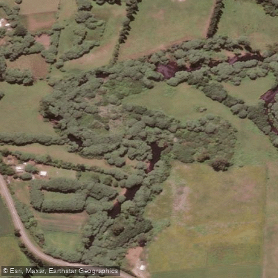
Río Muco
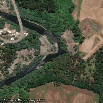
Río Quepe

Río Toltén
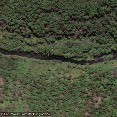
Río Malleco
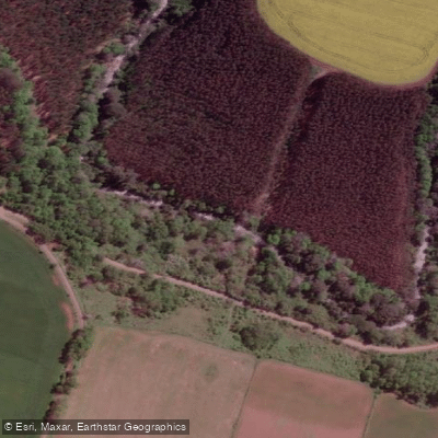
Estero Huillinlebu
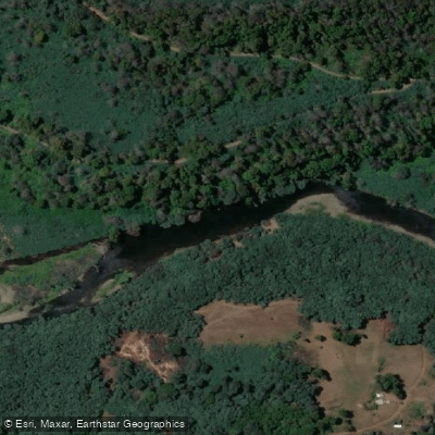
Río Renaico

Río Collín
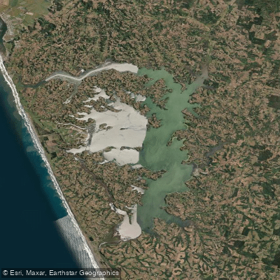
Lago Budi

Lago Villarrica
Explore La Araucanía waters
Top fishing waters
No waters available right now.
Popular Cities
Loading popular cities...
Explore near Río Cautín
Fish species
Fishing spots
- Camino Caracoles
- Camino Fundo El Hoyo
- Camino Piedra Cortada - Malalcahuello
- Escorial - Salto La Princesa
- Línea Central Sur
- Malalcahuello - Alto Centinela
- Manchuria - La Princesa
- Puente Mecano Malalcahuello
- Puente Treng Treng Y Kay Kay
- Puente Treng Treng Y Kay Kay
- Puente Treng-Treng Y Kay-Kay
- Ruta 181 Ch
- All 26 spots
Nearby waters
More in La Araucanía

Smarter Fishing Starts in the App.
onWater Fish gives you everything you need to plan smarter, fish better, and own every trip from first cast to last.