Río Curaco
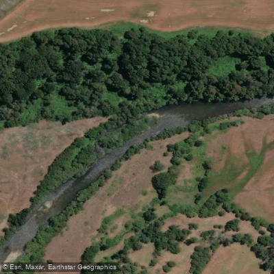
Río Curaco
- Boat Ramps
- 0
- Access Points
- 0
- Species
- 0
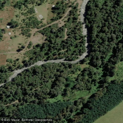
Río Curaco is a modest but scenic waterway flowing through the Andean terrain of Chile's La Araucanía Region, originating as the outflow from Lago Colico — a glacial lake of approximately 60 square kilometers with a major east-west axis of 19 kilometers. From there, the river travels roughly 15 kilometers through a landscape shaped by volcanic and sedimentary formations from the Pleistocene-Holocene period, including morainic and fluvioglacial deposits, before joining the Allipén River near coordinates 39°01′S 72°15′W. As a key southern tributary of the Allipén within the broader Toltén River basin — a drainage system spanning approximately 7,886 square kilometers that flows eastward to westward toward the Pacific Ocean — the Curaco occupies a geologically rich corridor at the foot of the Andean cordillera in the Cunco commune. The permeable aquifers supported by the surrounding fluvioglacial deposits contribute to the river's consistent flow characteristics, and the combination of Andean scenery, clear glacial-origin water, and productive trout fishing has made the area an increasingly attractive destination for anglers and outdoor enthusiasts visiting the rural communities of Colico and Choshuenco.
Species & education
Learn what type of fish are at Río Curaco and what's needed to catch them.
No species information available.
Fishing spots, boat ramps & amenities
Learn how to get on Río Curaco. Uncover great fishing access points, boat ramps, and all the facilities you need for an unforgettable day on the water. Some locations shown may border or include private property. Always check property boundaries and applicable regulations before visiting. onWater's Public & Private Land layer can help you plan your access with confidence.
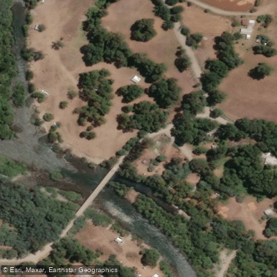
Know where you can legally fish on Río Curaco
See public and private land boundaries along the water, turn on private parcels with owner details to know where permission is required, and find land-trust parcels that offer permitted fishing access.
La Araucanía licenses and regulations
No licenses or regulations available for La Araucanía.
Take Río Curaco with you
The onWater Fish app keeps this water's access points, species and conditions in your pocket, with the tools you use once you're there.
Use the map without signal
Download the map around Río Curaco to use it offline when coverage drops.
Log your catches here
Keep a private fishing journal for Río Curaco to find where and when fish are biting for you.
Get the onWater Fish app
Free on iOS and Android
Water and weather conditions (10 day forecast)
See the best times to fish Río Curaco and check the forecast before you go.
Rio Curaco En Puente Pitrunco
Fishing near Río Curaco
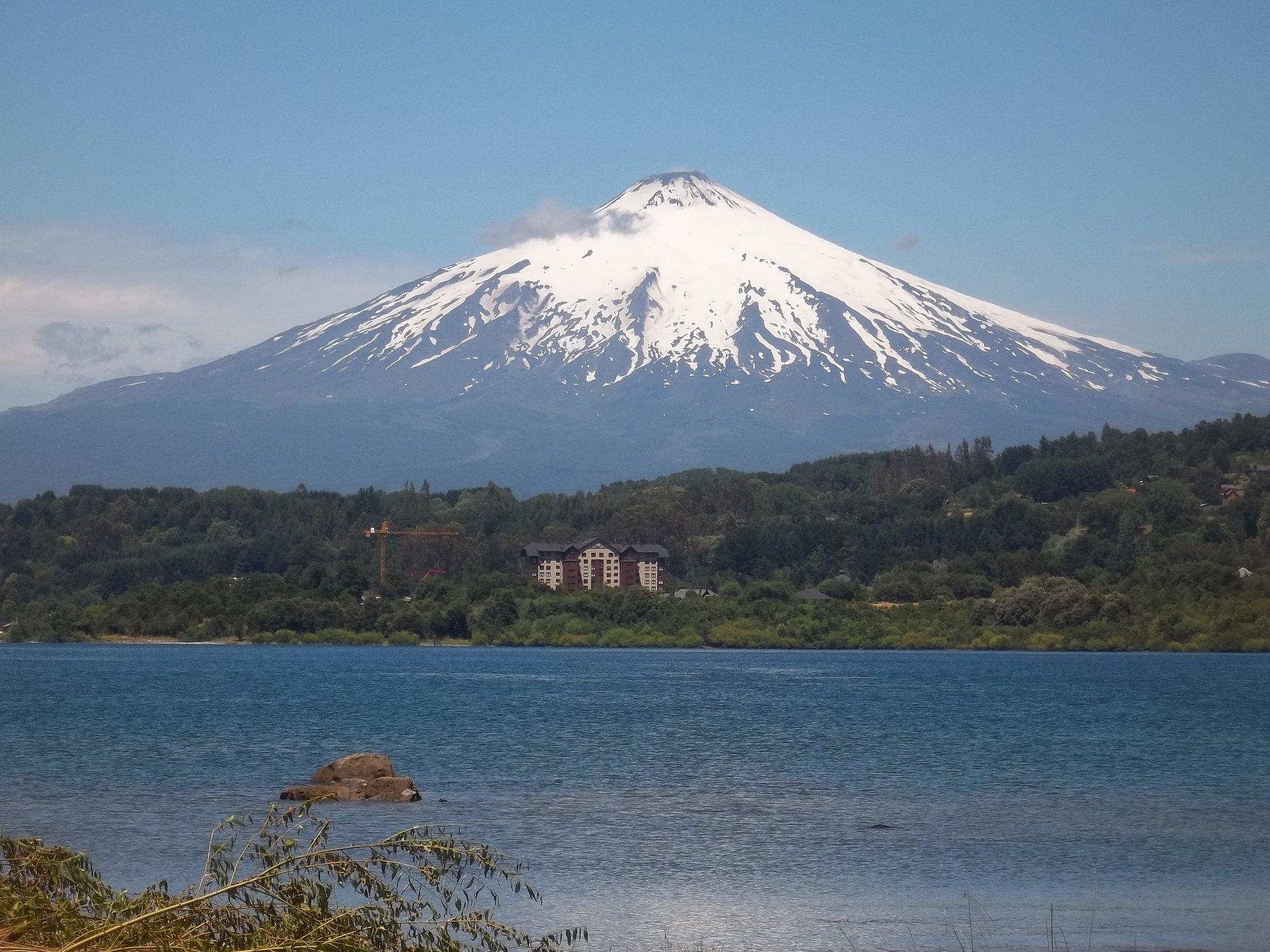
Lago Villarrica

Río Toltén
Río Correntoso
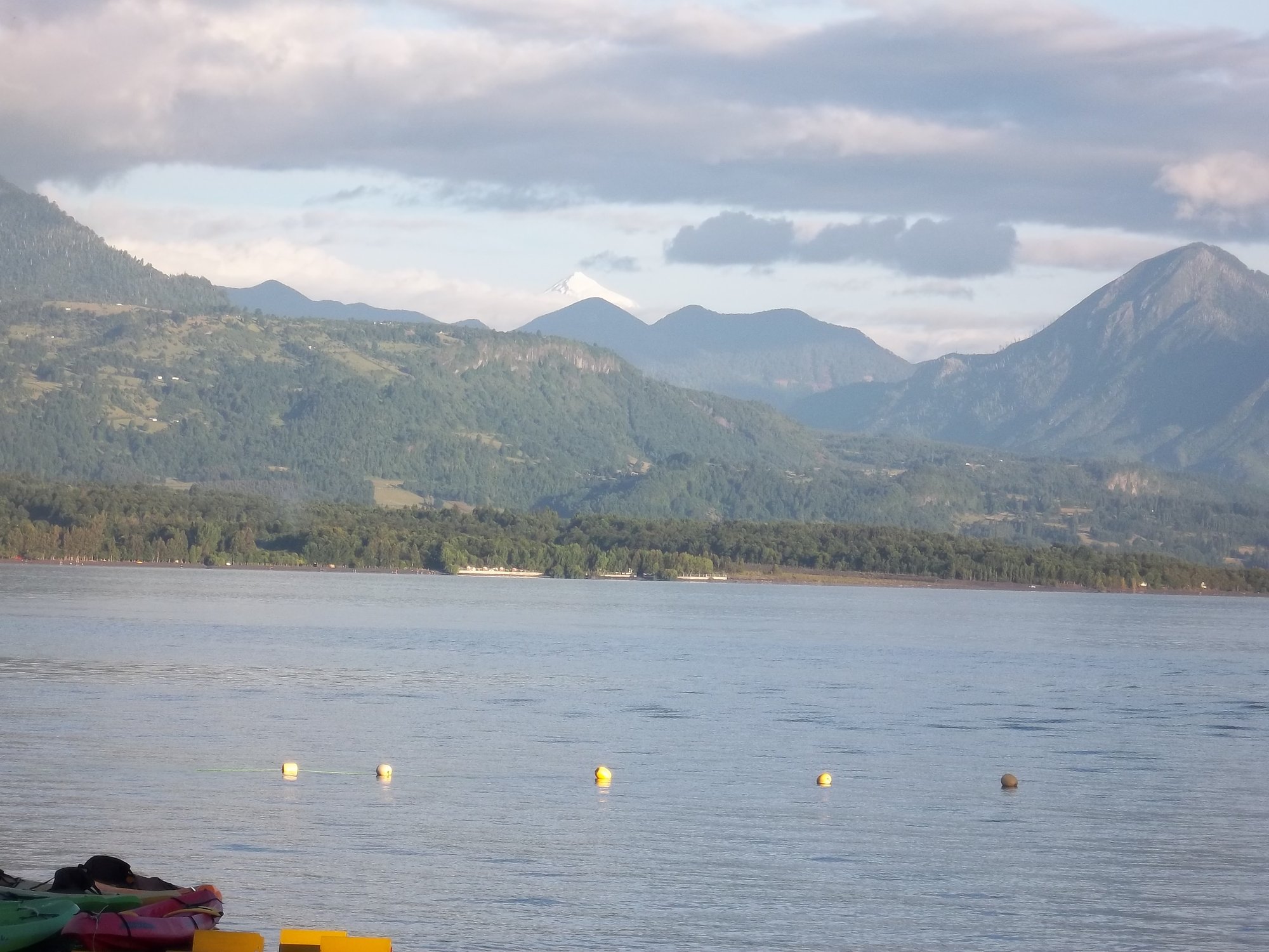
Lago Calafquén
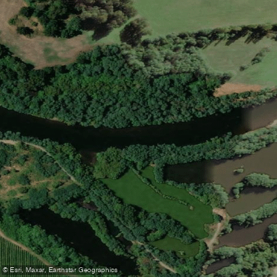
Río Cruces
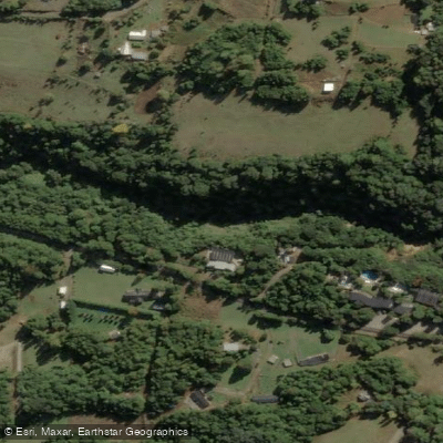
Río Liucura

Río Claro
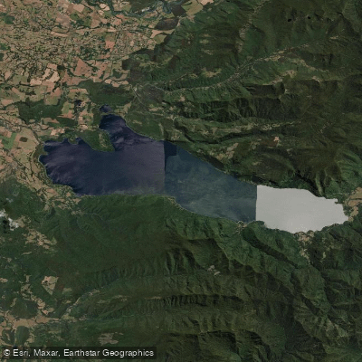
Lago Colico
Río Llancahue
Explore La Araucanía waters
Top fishing waters
No waters available right now.
Popular Cities
Loading popular cities...
Explore near Río Curaco
Fishing spots
Nearby waters
More in La Araucanía

Smarter Fishing Starts in the App.
onWater Fish gives you everything you need to plan smarter, fish better, and own every trip from first cast to last.