Quebrada Cardones
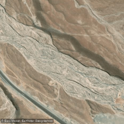
Quebrada Cardones
- Boat Ramps
- 0
- Access Points
- 0
- Species
- 0
Quebrada Cardones is a dramatic Andean ravine located in the Arica y Parinacota Region of northern Chile, situated approximately 65 kilometers east of the city of Arica at elevations ranging between 2,000 and 2,700 meters above sea level. Carved into the western slopes of the Andes where the Atacama Desert transitions into the precordillera foothills, this deep quebrada was shaped over millions of years by episodic water flow that cut through layered sequences of volcanic tuff, ignimbrite, and sedimentary rock. The landscape is stark and striking, dominated by towering Browningia candelaris cacti — the iconic candelabro cactus — which can reach heights of seven meters and form one of the largest remaining populations of this endangered species in Chile. The monument encompasses 11,325 hectares of protected terrain and is traversed by Chile Route 11, making it accessible from the coast. The area is managed by the Corporación Nacional Forestal (CONAF) and was formally established as a Natural Monument by decree in 2009, reflecting its ecological and archaeological significance. The quebrada's arid, high-altitude environment, ancient geology, and rich biodiversity make it a remarkable destination, though anglers should be aware that the conservation focus of this protected area centers on its terrestrial and botanical heritage rather than aquatic resources.
Species & education
Learn what type of fish are at Quebrada Cardones and what's needed to catch them.
No species information available.
Fishing spots, boat ramps & amenities
Learn how to get on Quebrada Cardones. Uncover great fishing access points, boat ramps, and all the facilities you need for an unforgettable day on the water. Some locations shown may border or include private property. Always check property boundaries and applicable regulations before visiting. onWater's Public & Private Land layer can help you plan your access with confidence.
Know where you can legally fish on Quebrada Cardones
See public and private land boundaries along the water, turn on private parcels with owner details to know where permission is required, and find land-trust parcels that offer permitted fishing access.
Arica Y Parinacota licenses and regulations
No licenses or regulations available for Arica Y Parinacota.
Take Quebrada Cardones with you
The onWater Fish app keeps this water's access points, species and conditions in your pocket, with the tools you use once you're there.
Use the map without signal
Download the map around Quebrada Cardones to use it offline when coverage drops.
Log your catches here
Keep a private fishing journal for Quebrada Cardones to find where and when fish are biting for you.
Get the onWater Fish app
Free on iOS and Android
Water and weather conditions (10 day forecast)
See the best times to fish Quebrada Cardones and check the forecast before you go.
No forecast data available.
Fishing near Quebrada Cardones
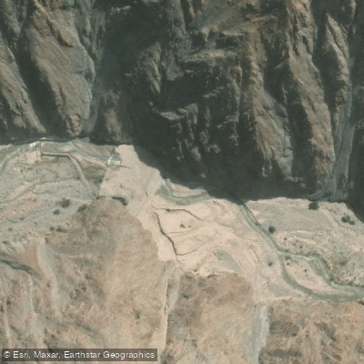
Rio Lluta
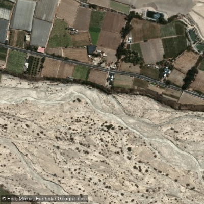
Rio San Jose
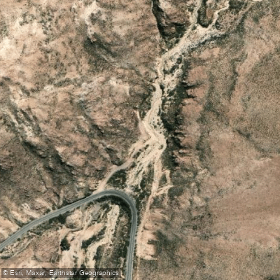
Rio Seco
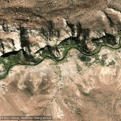
Quebrada Allane
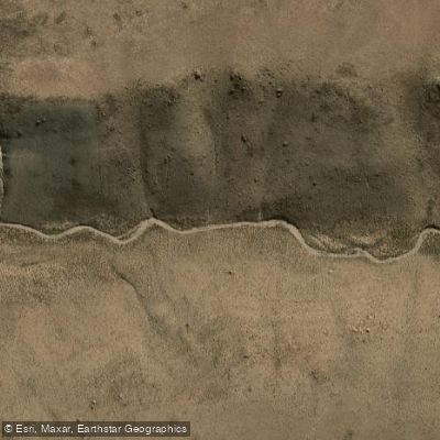
Quebrada Iquilla
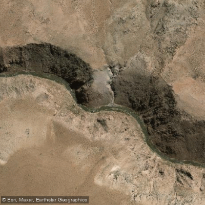
Rio Lauca
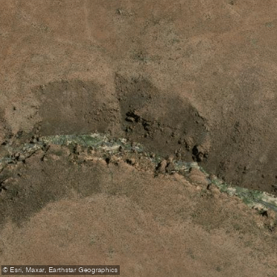
Quebrada Colpitas
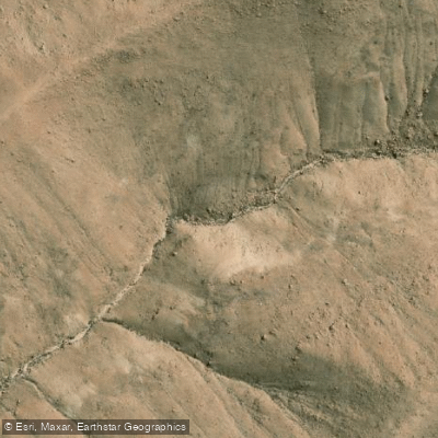
Quebrada Gallinazos De Concordia
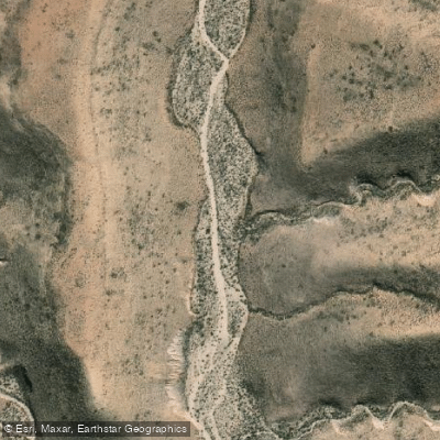
Quebrada Rio Seco
Explore Arica Y Parinacota waters
Top fishing waters
No waters available right now.
Popular Cities
Loading popular cities...
Explore near Quebrada Cardones

Smarter Fishing Starts in the App.
onWater Fish gives you everything you need to plan smarter, fish better, and own every trip from first cast to last.