Swift Creek
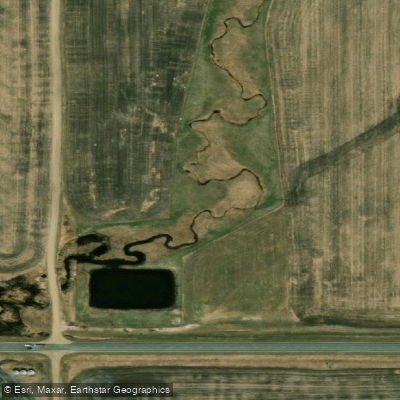
Swift Creek
- Boat Ramps
- 0
- Access Points
- 0
- Species
- 0
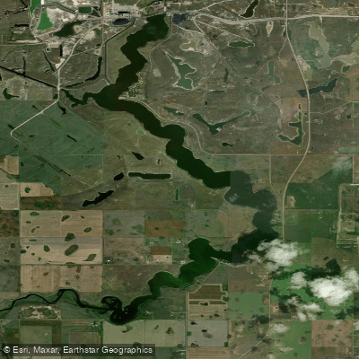
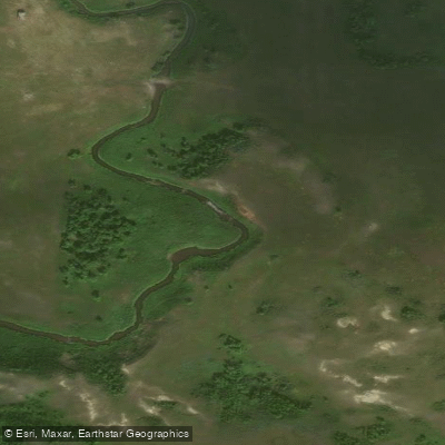
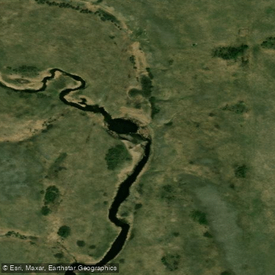
Swift Current Creek is a significant waterway in southwestern Saskatchewan, originating in the Cypress Hills at an elevation of over 1,100 metres (3,600 ft) in the RM of Arlington No. 79, and flowing in a north-easterly direction through valleys and coulees before emptying into Lake Diefenbaker on the South Saskatchewan River. The creek drains a gross watershed area of approximately 3,939 km² (973,343 acres) and stretches roughly 230 km (143 miles) in total length. It serves as the primary water source for approximately 20,000 people and is a major hub for recreational fishing and outdoor activity in southwest Saskatchewan. The watershed encompasses several notable water bodies, including MacLeod (CPR) Dam, Reid Lake, Doretta (Yellow) Lake, Lac Pelletier, and the Swift Current Reservoir, each contributing to the diversity of fishing opportunities across the system. The creek passes through or near the communities of Swift Current, Waldeck, and South Fork, and its lower reaches follow the Trans-Canada Highway corridor before turning north toward Lake Diefenbaker.
Species & education
Learn what type of fish are at Swift Creek and what's needed to catch them.
No species information available.
Fishing spots, boat ramps & amenities
Learn how to get on Swift Creek. Uncover great fishing access points, boat ramps, and all the facilities you need for an unforgettable day on the water. Some locations shown may border or include private property. Always check property boundaries and applicable regulations before visiting. onWater's Public & Private Land layer can help you plan your access with confidence.
Upper Section – Cypress Hills Headwaters
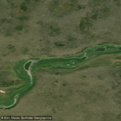
The creek originates in the Cypress Hills, one of the highest points between the Rockies and Labrador, at elevations exceeding 1,100 metres. This upper section is characterized by cooler water temperatures and the rugged terrain of the hills, historically supporting brown trout populations. Tributary creeks such as Bone Creek (North Fork), Jones Creek, and Rock Creek feed into the system in this region.
Middle Section – Swift Current and Surrounding Area
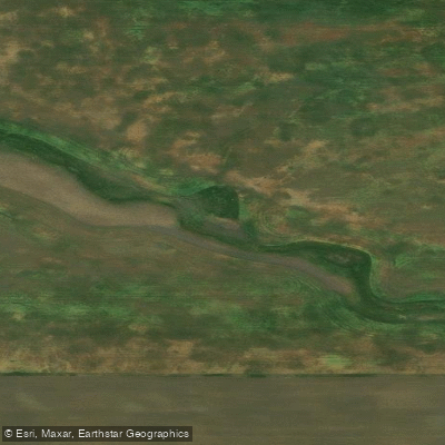
As the creek descends from the hills and passes through the city of Swift Current, it transitions through agricultural valleys and coulees. The Duncairn Dam — 62 feet (19 metres) high and 2,000 feet (610 metres) long — impounds water in this portion of the watershed, creating reservoir habitat managed for recreational fishing. This dam maintains flow in the creek for stock watering, domestic use, and fish habitat, and the reservoir has seen increasing recreational use including boating and fishing.
Lower Section – Waldeck to Lake Diefenbaker
East of Waldeck, the creek turns north and follows a meltwater channel toward Lake Diefenbaker. This lower section flows through the semi-arid landscape of Palliser's Triangle and empties into Lake Diefenbaker, providing connectivity to the broader South Saskatchewan River system. This stretch and the associated reservoir areas are managed for walleye, northern pike, and yellow perch.
Know where you can legally fish on Swift Creek
See public and private land boundaries along the water, turn on private parcels with owner details to know where permission is required, and find land-trust parcels that offer permitted fishing access.
Sk licenses and regulations

Saskatchewan Boating Regulations
This page explains what a Pleasure Craft License is, who needs one, how to apply for one, and how to keep your information up to date.

Saskatchewan Fishing License
Residents and Non-Residents aged 16 and older must have a valid Saskatchewan Angling License.

Saskatchewan Fishing Regulations
Sport fishing in Saskatchewan is regulated by The Fisheries Regulations under The Fisheries (Saskatchewan) Act, 2020. Below is a summary of the major regulations, which apply to all provincial Crown waters in Saskatchewan, excluding federal waters (e.g. Prince Albert National Park), and must be complied with at all times. Complete copies of the Act and Regulations may be obtained from the Publications Centre or by calling 1-800-226-7302.

Saskatchewan Stream Access Laws
Saskatchewan is divided into three management zones for angling regulation.
Take Swift Creek with you
The onWater Fish app keeps this water's access points, species and conditions in your pocket, with the tools you use once you're there.
Use the map without signal
Download the map around Swift Creek to use it offline when coverage drops.
Log your catches here
Keep a private fishing journal for Swift Creek to find where and when fish are biting for you.
Get the onWater Fish app
Free on iOS and Android
Water and weather conditions (10 day forecast)
See the best times to fish Swift Creek and check the forecast before you go.
No forecast data available.
Fishing near Swift Creek
Explore Sk waters
Top fishing waters
No waters available right now.
Popular Cities
Loading popular cities...
Explore near Swift Creek

Smarter Fishing Starts in the App.
onWater Fish gives you everything you need to plan smarter, fish better, and own every trip from first cast to last.