Buffalo Pound Lake
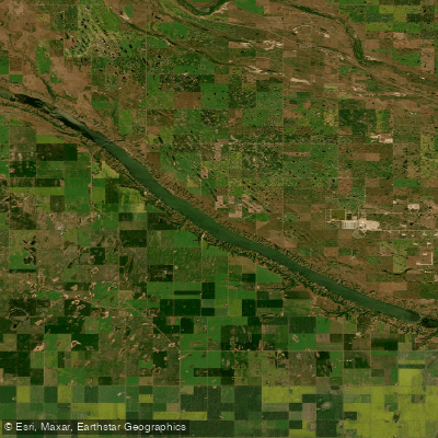
Buffalo Pound Lake
- Boat Ramps
- 2
- Access Points
- 0
- Species
- 0
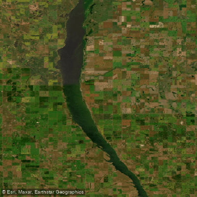
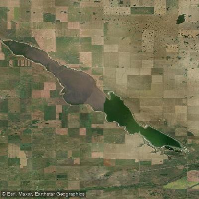
Buffalo Pound Lake is a sprawling prairie lake located approximately 28 kilometres north of Moose Jaw in southern Saskatchewan, Canada. Formed from glacial melt roughly 10,000 years ago, this eutrophic lake sits along the Qu'Appelle River system and covers a surface area of 7,093 acres with approximately 76 kilometres of shoreline. The lake is relatively shallow, with a maximum depth of just 5.6 metres (18 feet), making it a classic fertile prairie fishery. The Qu'Appelle River serves as both the primary inflow and outflow, connecting Buffalo Pound to one of the most biologically diverse aquatic systems in Saskatchewan — one that contains approximately 75% of the province's fish species. The lake is also a critical drinking water source for roughly 25% of Saskatchewan's population, including the cities of Regina and Moose Jaw, which adds an important dimension to how the lake is managed. Buffalo Pound Provincial Park occupies the southern portion of the lake and is accessible via Highways 202 and 301, while Highway 2 crosses the lake itself via a causeway — a unique feature that gives anglers a bird's-eye view of the water from the road. The park encompasses 866 hectares of predominantly native grassland habitat, providing a scenic and ecologically rich backdrop for fishing trips.
Species & education
Learn what type of fish are at Buffalo Pound Lake and what's needed to catch them.
No species information available.
Fishing spots, boat ramps & amenities
Learn how to get on Buffalo Pound Lake. Uncover great fishing access points, boat ramps, and all the facilities you need for an unforgettable day on the water. Some locations shown may border or include private property. Always check property boundaries and applicable regulations before visiting. onWater's Public & Private Land layer can help you plan your access with confidence.
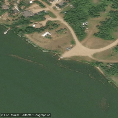
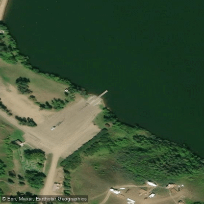
Know where you can legally fish on Buffalo Pound Lake
See public and private land boundaries along the water, turn on private parcels with owner details to know where permission is required, and find land-trust parcels that offer permitted fishing access.
Sk licenses and regulations

Saskatchewan Boating Regulations
This page explains what a Pleasure Craft License is, who needs one, how to apply for one, and how to keep your information up to date.

Saskatchewan Fishing License
Residents and Non-Residents aged 16 and older must have a valid Saskatchewan Angling License.

Saskatchewan Fishing Regulations
Sport fishing in Saskatchewan is regulated by The Fisheries Regulations under The Fisheries (Saskatchewan) Act, 2020. Below is a summary of the major regulations, which apply to all provincial Crown waters in Saskatchewan, excluding federal waters (e.g. Prince Albert National Park), and must be complied with at all times. Complete copies of the Act and Regulations may be obtained from the Publications Centre or by calling 1-800-226-7302.

Saskatchewan Stream Access Laws
Saskatchewan is divided into three management zones for angling regulation.
Take Buffalo Pound Lake with you
The onWater Fish app keeps this water's access points, species and conditions in your pocket, with the tools you use once you're there.
Use the map without signal
Download the map around Buffalo Pound Lake to use it offline when coverage drops.
Log your catches here
Keep a private fishing journal for Buffalo Pound Lake to find where and when fish are biting for you.
HD depth charts from Garmin
Find drop offs, ledges, channels, points and shallow flats with Garmin depth charts in the app.
Get the onWater Fish app
Free on iOS and Android
Water and weather conditions (10 day forecast)
See the best times to fish Buffalo Pound Lake and check the forecast before you go.
BUFFALO POUND LAKE AT PUMPING STATION
Fishing near Buffalo Pound Lake
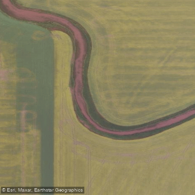
Explore Sk waters
Top fishing waters
No waters available right now.
Popular Cities
Loading popular cities...
Explore near Buffalo Pound Lake

Smarter Fishing Starts in the App.
onWater Fish gives you everything you need to plan smarter, fish better, and own every trip from first cast to last.