Rivière Sainte-Anne
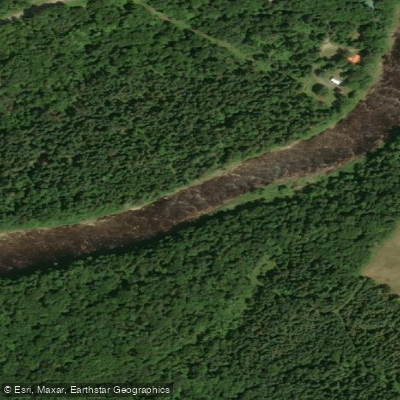
Rivière Sainte-Anne
- Boat Ramps
- 0
- Access Points
- 0
- Species
- 0
Rivière Sainte-Anne is a 70-kilometre river flowing north from Lac Sainte-Anne to the St. Lawrence River at Sainte-Anne-des-Monts on the Gaspé Peninsula of Quebec. The river carves its way between Quebec's highest peaks, the Chic-Chocs Mountains, and passes through Parc national de la Gaspésie, a protected area where one of the primary conservation objectives is the preservation of the river's Atlantic salmon population. This geographic setting produces exceptionally clear, fresh water and, for much of its length, a dramatic mountain landscape set within pristine, unspoiled forest. The river is renowned for its quality salmon fishing, with 49 kilometres open to anglers across 64 named pools divided into three distinct fishing sectors. Since 1993, the river has been managed by a local organization — now known as Destination Chic-Chocs — under a sustainable development mandate that encompasses habitat restoration, resource protection, and the promotion of fishing as a recreational activity.
Species & education
Learn what type of fish are at Rivière Sainte-Anne and what's needed to catch them.
No species information available.
Fishing spots, boat ramps & amenities
Learn how to get on Rivière Sainte-Anne. Uncover great fishing access points, boat ramps, and all the facilities you need for an unforgettable day on the water. Some locations shown may border or include private property. Always check property boundaries and applicable regulations before visiting. onWater's Public & Private Land layer can help you plan your access with confidence.
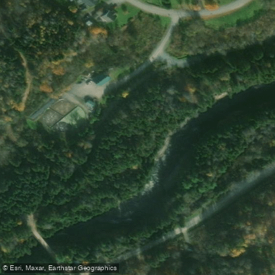
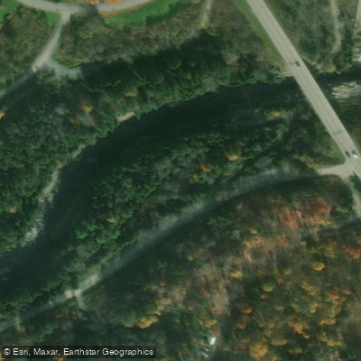
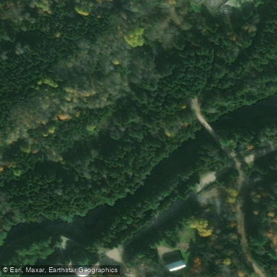
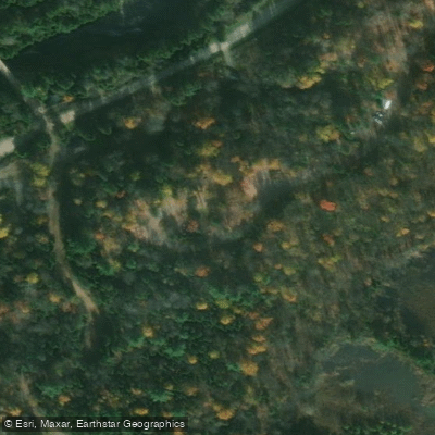
Know where you can legally fish on Rivière Sainte-Anne
See public and private land boundaries along the water, turn on private parcels with owner details to know where permission is required, and find land-trust parcels that offer permitted fishing access.
Qc licenses and regulations
No licenses or regulations available for Qc.
Take Rivière Sainte-Anne with you
The onWater Fish app keeps this water's access points, species and conditions in your pocket, with the tools you use once you're there.
Use the map without signal
Download the map around Rivière Sainte-Anne to use it offline when coverage drops.
Log your catches here
Keep a private fishing journal for Rivière Sainte-Anne to find where and when fish are biting for you.
Get the onWater Fish app
Free on iOS and Android
Water and weather conditions (10 day forecast)
See the best times to fish Rivière Sainte-Anne and check the forecast before you go.
SAINTE-ANNE (RIVIERE) A 1,3 KM EN AVAL DU BARRAGE A CHUTE-PANET
Fishing near Rivière Sainte-Anne
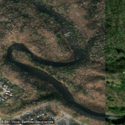
Rivière Saint-Charles
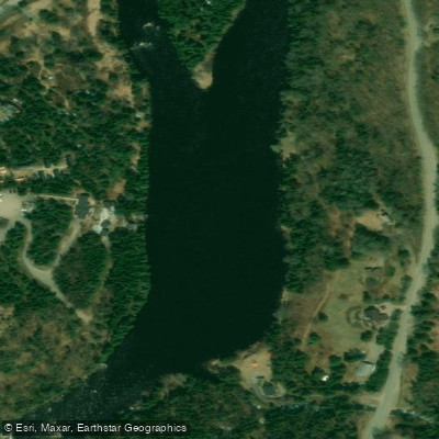
Rivière Jacques-Cartier

Estuaire fluvial du Saint-Laurent
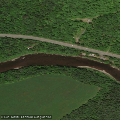
Rivière Etchemin
Rivière Montmorency
Plage Samuel de Champlain
Rivière Chaudière
Rivière des Hurons
Battures de Beauport
Rivière Jaune
Explore Qc waters
Top fishing waters
No waters available right now.
Popular Cities
Loading popular cities...
Explore near Rivière Sainte-Anne
Fishing spots
Nearby waters
More in Qc

Smarter Fishing Starts in the App.
onWater Fish gives you everything you need to plan smarter, fish better, and own every trip from first cast to last.