Rivière de Puvirnituq
Rivière de Puvirnituq
- Boat Ramps
- 0
- Access Points
- 0
- Species
- 0
The Rivière de Puvirnituq is a remote and wild river flowing 389 kilometres (242 miles) through the Kativik region of Nord-du-Québec, Canada, before emptying into Hudson Bay at the village of Puvirnituq. With a vast watershed encompassing 28,500 square kilometres, this is a true subarctic river system offering a raw and untamed fishing experience far from the pressures of more accessible waters. The river's name derives from the Inuktitut phrase meaning "smells like rotten meat," a nod to the region's deep Indigenous heritage. Sport fishing is a recognized and popular activity along this river, particularly near the series of falls located close to the river's confluence with Hudson Bay. For anglers willing to make the journey to this remote corner of Quebec, the Puvirnituq offers an extraordinary wilderness fishing experience in one of Canada's most dramatic northern landscapes.
Species & education
Learn what type of fish are at Rivière de Puvirnituq and what's needed to catch them.
No species information available.
Fishing spots, boat ramps & amenities
Learn how to get on Rivière de Puvirnituq. Uncover great fishing access points, boat ramps, and all the facilities you need for an unforgettable day on the water. Some locations shown may border or include private property. Always check property boundaries and applicable regulations before visiting. onWater's Public & Private Land layer can help you plan your access with confidence.
The three falls located in the lower river are the most celebrated and productive fishing destinations on the Puvirnituq:
- First Falls — Approximately 4 kilometres from the Hudson Bay confluence, this is the closest and most accessible falls from the village of Puvirnituq.
- Second Falls — Located roughly 7 kilometres from the mouth, offering another prime pool-and-plunge fishing opportunity.
- Third Falls — Situated approximately 10 kilometres upstream from the confluence, this falls is the most remote of the three but equally productive.
Each of these falls creates natural fish-holding structure with deep pools, current seams, and oxygenated water that concentrate fish throughout the open-water season.
Know where you can legally fish on Rivière de Puvirnituq
See public and private land boundaries along the water, turn on private parcels with owner details to know where permission is required, and find land-trust parcels that offer permitted fishing access.
Qc licenses and regulations
No licenses or regulations available for Qc.
Take Rivière de Puvirnituq with you
The onWater Fish app keeps this water's access points, species and conditions in your pocket, with the tools you use once you're there.
Use the map without signal
Download the map around Rivière de Puvirnituq to use it offline when coverage drops.
Log your catches here
Keep a private fishing journal for Rivière de Puvirnituq to find where and when fish are biting for you.
Get the onWater Fish app
Free on iOS and Android
Water and weather conditions (10 day forecast)
See the best times to fish Rivière de Puvirnituq and check the forecast before you go.
No forecast data available.
Fishing near Rivière de Puvirnituq
Tasirjuaq
Tuksha Lake
West Inlet
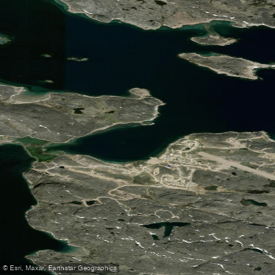
ᑭᙵᐃᑦ ᐃᓗᐊ Kinngait Harbour
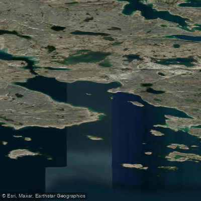
Negus Bay
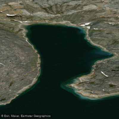
Tellik Bay
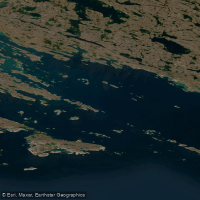
Andrew Gordon Bay
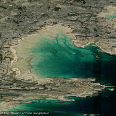
Shartowitok Bay
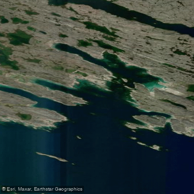
Terreoukchuk Bay
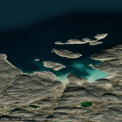
Morrissey Harbour
Explore Qc waters
Top fishing waters
No waters available right now.
Popular Cities
Loading popular cities...
Explore near Rivière de Puvirnituq

Smarter Fishing Starts in the App.
onWater Fish gives you everything you need to plan smarter, fish better, and own every trip from first cast to last.