Lac à l'Épaule
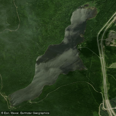
Lac à l'Épaule
- Boat Ramps
- 0
- Access Points
- 0
- Species
- 0
Lac à l'Épaule is a natural freshwater lake nestled within Jacques-Cartier National Park (Parc national de la Jacques-Cartier) in the Laurentian Mountains of Quebec's Capitale-Nationale region. Situated entirely within the unorganized territory of Lac-Jacques-Cartier, in the La Côte-de-Beaupré Regional County Municipality, the lake sits at an elevation of 651 metres (2,136 feet) above sea level — a high-country setting that defines its cold, clear character. The lake measures approximately 2.9 kilometres in length and 0.8 kilometres at its widest point. The Rivière à l'Épaule flows through the lake from north to south, and the lake also receives inflow from the discharge of Lac à Noël. Route 175, the highway linking Quebec City and Saguenay, passes within just 0.25 kilometres of the lake's eastern shore, making access surprisingly convenient for such a remote-feeling wilderness destination. A secondary road serves the western portion of the lake for forestry and recreational tourism. Sport fishing has been a tradition here since at least 1907, when accommodation facilities were first established to serve anglers — a legacy that continues today with the Lac à l'Épaule lodge and the historic Camp Devlin cabins.
Species & education
Learn what type of fish are at Lac à l'Épaule and what's needed to catch them.
No species information available.
Fishing spots, boat ramps & amenities
Learn how to get on Lac à l'Épaule. Uncover great fishing access points, boat ramps, and all the facilities you need for an unforgettable day on the water. Some locations shown may border or include private property. Always check property boundaries and applicable regulations before visiting. onWater's Public & Private Land layer can help you plan your access with confidence.
The inlet and outlet areas where the Rivière à l'Épaule enters and exits the lake are natural focal points for brook trout activity, as moving water concentrates oxygen and food. The lake's shoreline structure, particularly any points, bays, or areas with submerged features, are worth exploring by boat. The lake is part of a broader network of productive waters in the À l'Épaule sector, which also includes nearby lakes in the Archambault, Barrette, Lapointe, Nouvel, Ribbon, Sautauriski, and Cook sectors.
Know where you can legally fish on Lac à l'Épaule
See public and private land boundaries along the water, turn on private parcels with owner details to know where permission is required, and find land-trust parcels that offer permitted fishing access.
Qc licenses and regulations
No licenses or regulations available for Qc.
Take Lac à l'Épaule with you
The onWater Fish app keeps this water's access points, species and conditions in your pocket, with the tools you use once you're there.
Use the map without signal
Download the map around Lac à l'Épaule to use it offline when coverage drops.
Log your catches here
Keep a private fishing journal for Lac à l'Épaule to find where and when fish are biting for you.
HD depth charts from Garmin
Find drop offs, ledges, channels, points and shallow flats with Garmin depth charts in the app.
Get the onWater Fish app
Free on iOS and Android
Water and weather conditions (10 day forecast)
See the best times to fish Lac à l'Épaule and check the forecast before you go.
No forecast data available.
Fishing near Lac à l'Épaule
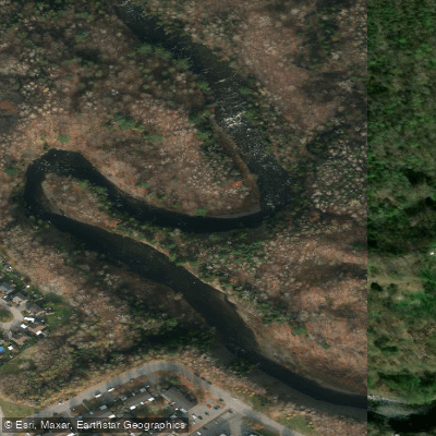
Rivière Saint-Charles
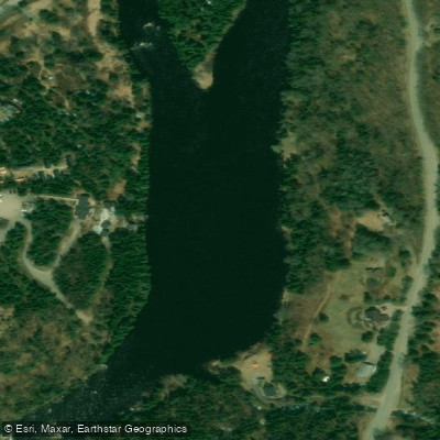
Rivière Jacques-Cartier

Estuaire fluvial du Saint-Laurent
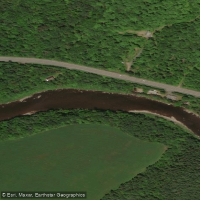
Rivière Etchemin
Rivière Montmorency
Plage Samuel de Champlain
Rivière Chaudière
Rivière des Hurons
Battures de Beauport
Rivière Jaune
Explore Qc waters
Top fishing waters
No waters available right now.
Popular Cities
Loading popular cities...

Smarter Fishing Starts in the App.
onWater Fish gives you everything you need to plan smarter, fish better, and own every trip from first cast to last.