Diana River
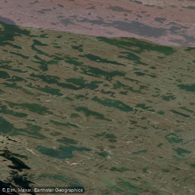
Diana River
- Boat Ramps
- 0
- Access Points
- 0
- Species
- 0
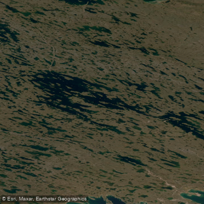
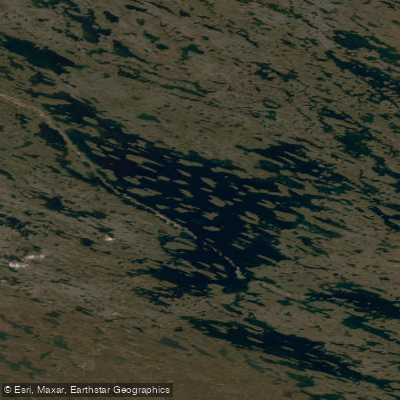
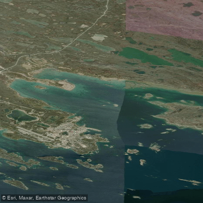
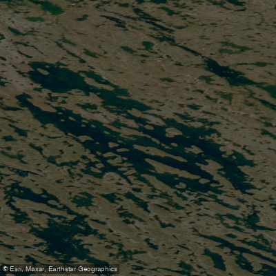
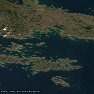
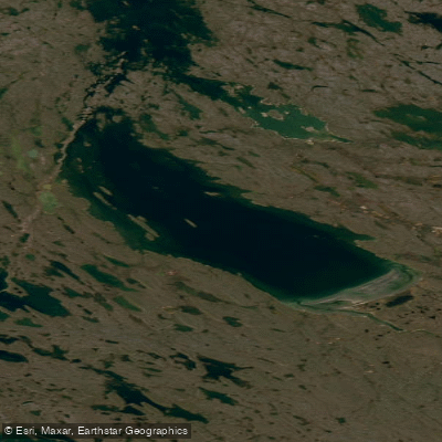
The Diana River flows through the remote subarctic landscape of Nunavut, Canada, emptying into Rankin Inlet at approximately 62°50′N, 92°24′W. This wild northern river offers anglers a true wilderness fishing experience in one of Canada's most pristine and untouched environments. Located just 8.5 miles from the community of Rankin Inlet, the Diana River is accessible enough to attract local anglers while remaining remote enough to retain the character of genuine Arctic fishing. The surrounding terrain is classic Keewatin tundra — open, windswept, and dramatic — making every outing here as much an adventure as it is a fishing trip.
Species & education
Learn what type of fish are at Diana River and what's needed to catch them.
No species information available.
Fishing spots, boat ramps & amenities
Learn how to get on Diana River. Uncover great fishing access points, boat ramps, and all the facilities you need for an unforgettable day on the water. Some locations shown may border or include private property. Always check property boundaries and applicable regulations before visiting. onWater's Public & Private Land layer can help you plan your access with confidence.
The mouth of the Diana River where it enters Rankin Inlet is a notable focal point, as this transition zone between fresh and saltwater is a natural gathering point for migrating Arctic char. The waters of Rankin Inlet within 8 km of the river mouth are recognized as significant enough to warrant special commercial fishing closures, underscoring the ecological importance of this area. Pools, runs, and current seams throughout the river corridor hold both char and grayling, with deeper holding water being particularly productive for larger char.
Know where you can legally fish on Diana River
See public and private land boundaries along the water, turn on private parcels with owner details to know where permission is required, and find land-trust parcels that offer permitted fishing access.
Nu licenses and regulations

Nunavut Boating Regulations
This page explains what a Pleasure Craft License is, who needs one, how to apply for one, and how to keep your information up to date.

Nunavut Fishing License
Government of Nunavut Sport Fishing Guide — the authoritative source for who needs a sport fishing licence (resident, Canadian-resident, non-resident categories, age and Nunavut Agreement beneficiary exemptions) and where to obtain one. Licences are sold at lodges, sporting-goods and convenience stores, and some RCMP offices.

Nunavut Fishing Regulations
DFO's recreational fishing regulations hub, with a dedicated Nunavut section linking the Nunavut Sport Fishing Guide. Nunavut sport fishing is currently regulated federally under the Northwest Territories Fishery Regulations; current catch limits, seasons and gear rules are in the Government of Nunavut Sport Fishing Guide.

Nunavut Stream Access Laws
Angler access in Nunavut is governed by the Nunavut Agreement land claim, which controls access to Inuit-Owned Lands and waters with Inuit harvesting rights; the Government of Nunavut Sport Fishing Guide is the closest official angler-facing resource on access.
Take Diana River with you
The onWater Fish app keeps this water's access points, species and conditions in your pocket, with the tools you use once you're there.
Use the map without signal
Download the map around Diana River to use it offline when coverage drops.
Log your catches here
Keep a private fishing journal for Diana River to find where and when fish are biting for you.
HD depth charts from Garmin
Find drop offs, ledges, channels, points and shallow flats with Garmin depth charts in the app.
Get the onWater Fish app
Free on iOS and Android
Water and weather conditions (10 day forecast)
See the best times to fish Diana River and check the forecast before you go.
No forecast data available.
Explore Nu waters
Top fishing waters
No waters available right now.
Popular Cities
Loading popular cities...
Explore near Diana River

Smarter Fishing Starts in the App.
onWater Fish gives you everything you need to plan smarter, fish better, and own every trip from first cast to last.