Clements Markham Inlet
- Saltwater
- Inlet
Clements Markham Inlet
- Saltwater
- Inlet
- Sq. miles
- 166
- Boat Ramps
- 0
- Access Points
- 0
- Species
- 0
Clements Markham Inlet is a significant saltwater inlet on the northern coast of Ellesmere Island, Nunavut. This remote High Arctic fjord extends more than 50 kilometers inland from the coast, bordered by the Grant Ice Cap and the United States Range. The inlet is formed by a low coastal plain at its mouth, with dramatic glacial and mountainous terrain defining its upper reaches. It is situated within Quttinirpaaq National Park, one of Canada's most northern and isolated national parks, placing the entire area under federal protection and management. The environment is characterized by extreme Arctic conditions, with sea ice present for much of the year and a brief open-water period during the short summer.
Species & education
Learn what type of fish are at Clements Markham Inlet and what's needed to catch them.
No species information available.
Fishing spots, boat ramps & amenities
Learn how to get on Clements Markham Inlet. Uncover great fishing access points, boat ramps, and all the facilities you need for an unforgettable day on the water. Some locations shown may border or include private property. Always check property boundaries and applicable regulations before visiting. onWater's Public & Private Land layer can help you plan your access with confidence.
The confluence areas where rivers like the Clements Markham River and Grant River enter the inlet could create productive mixing zones, attracting forage and potentially predatory fish. The deeper channels of the fjord itself may hold fish.
Know where you can legally fish on Clements Markham Inlet
See public and private land boundaries along the water, turn on private parcels with owner details to know where permission is required, and find land-trust parcels that offer permitted fishing access.
Nu licenses and regulations

Nunavut Boating Regulations
This page explains what a Pleasure Craft License is, who needs one, how to apply for one, and how to keep your information up to date.

Nunavut Fishing License
Government of Nunavut Sport Fishing Guide — the authoritative source for who needs a sport fishing licence (resident, Canadian-resident, non-resident categories, age and Nunavut Agreement beneficiary exemptions) and where to obtain one. Licences are sold at lodges, sporting-goods and convenience stores, and some RCMP offices.

Nunavut Fishing Regulations
DFO's recreational fishing regulations hub, with a dedicated Nunavut section linking the Nunavut Sport Fishing Guide. Nunavut sport fishing is currently regulated federally under the Northwest Territories Fishery Regulations; current catch limits, seasons and gear rules are in the Government of Nunavut Sport Fishing Guide.

Nunavut Stream Access Laws
Angler access in Nunavut is governed by the Nunavut Agreement land claim, which controls access to Inuit-Owned Lands and waters with Inuit harvesting rights; the Government of Nunavut Sport Fishing Guide is the closest official angler-facing resource on access.
Take Clements Markham Inlet with you
The onWater Fish app keeps this water's access points, species and conditions in your pocket, with the tools you use once you're there.
Use the map without signal
Download the map around Clements Markham Inlet to use it offline when coverage drops.
Log your catches here
Keep a private fishing journal for Clements Markham Inlet to find where and when fish are biting for you.
Get the onWater Fish app
Free on iOS and Android
Tides, wind & water conditions (10 day forecast)
On open water, wind and tide matter as much as the weather. See the best times to fish Clements Markham Inlet and check the marine forecast before you launch.
Loading tide predictions…
Fishing near Clements Markham Inlet
Williston Lake
Baker Lake
Atlin Lake
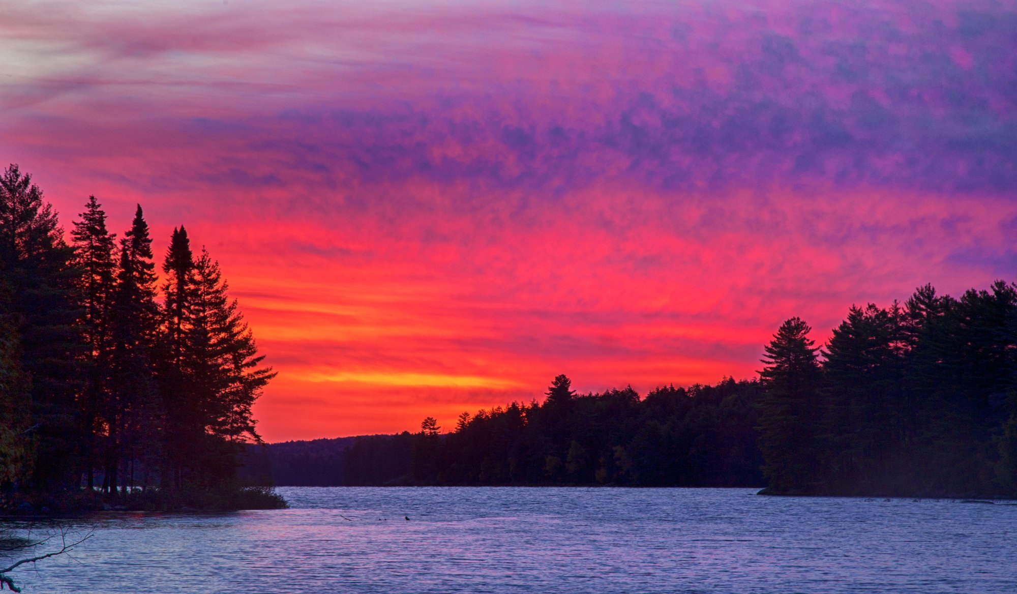
Big Trout Lake
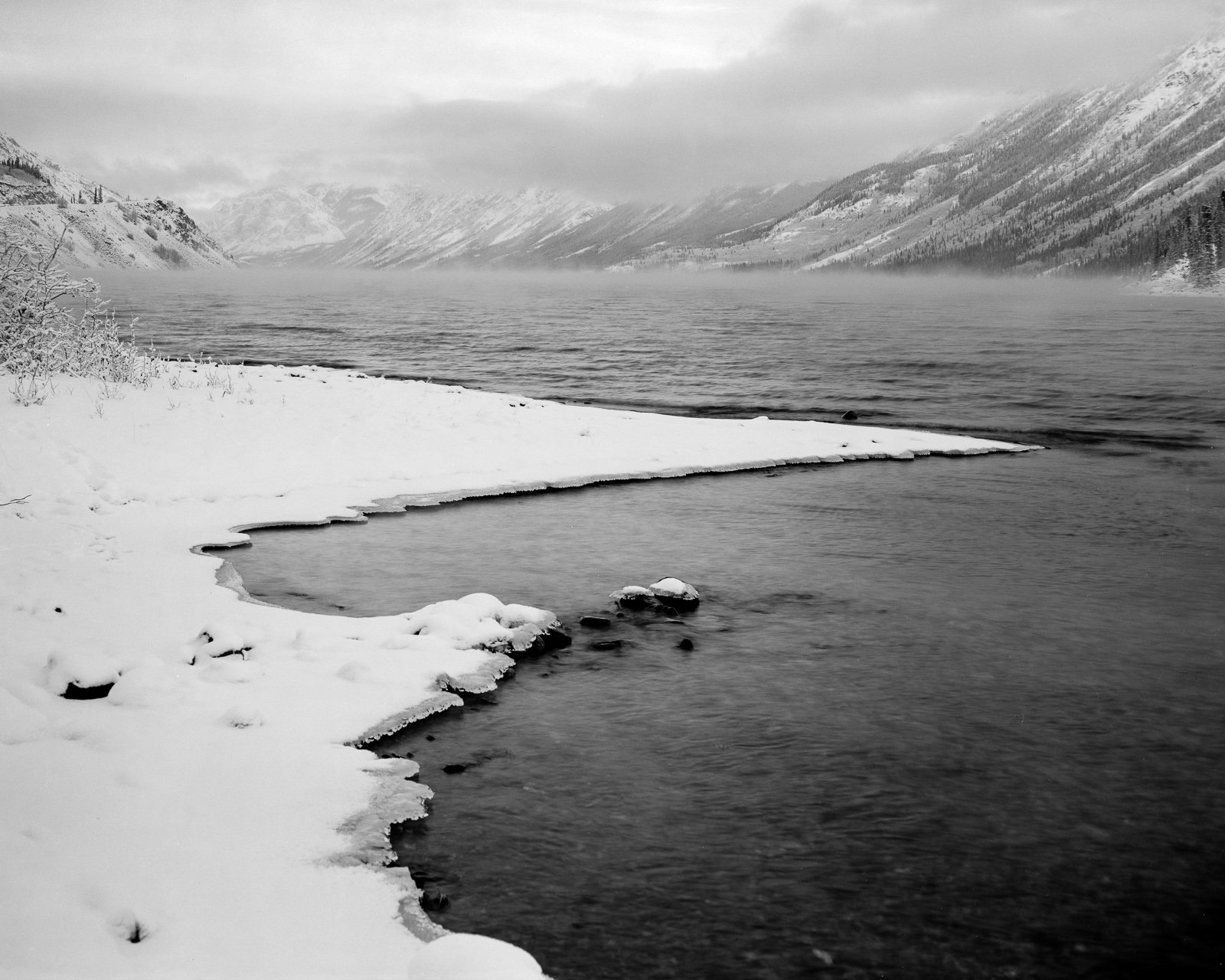
Tagish Lake
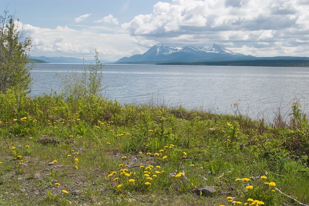
Teslin Lake
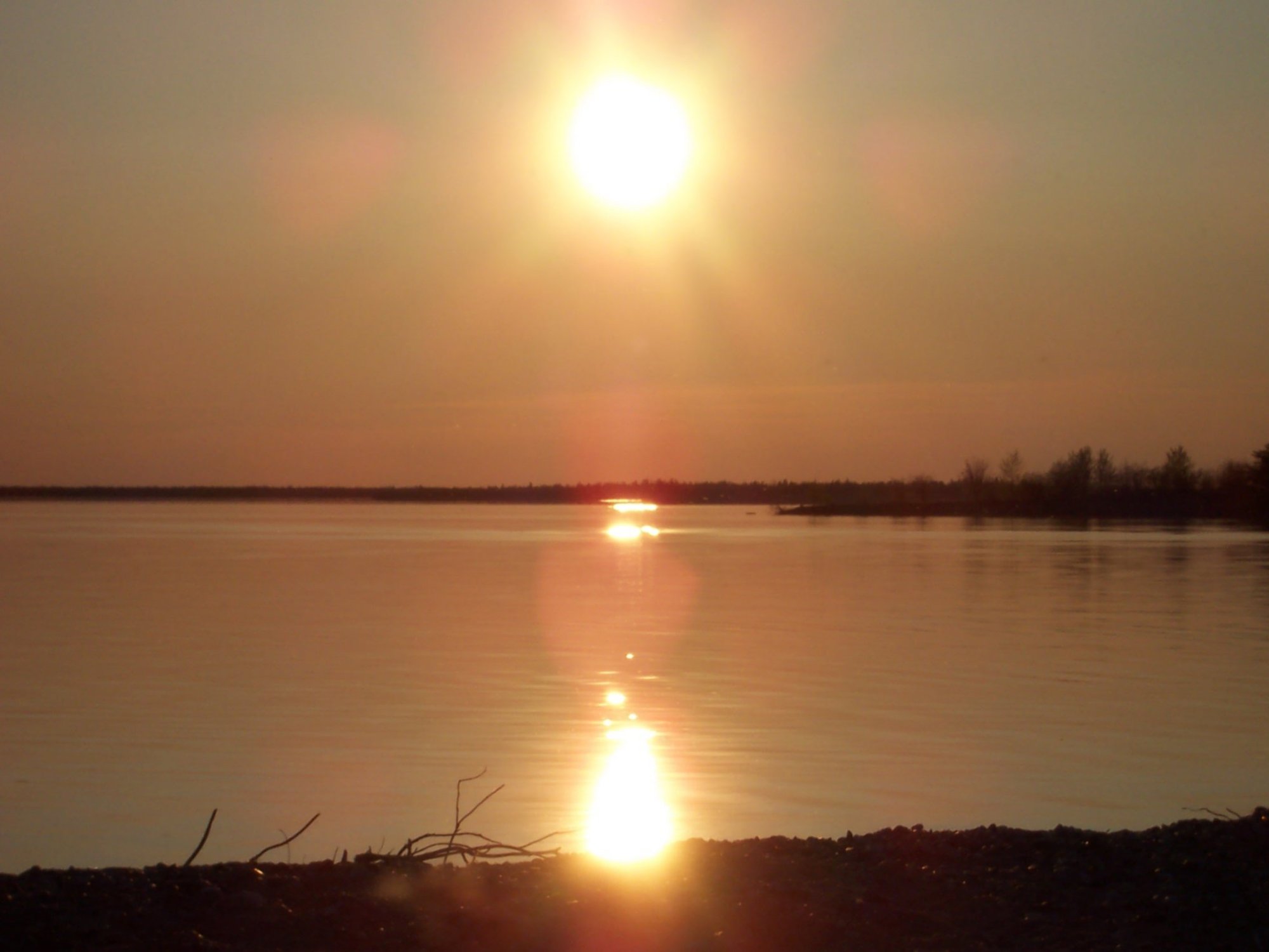
Stephens Lake
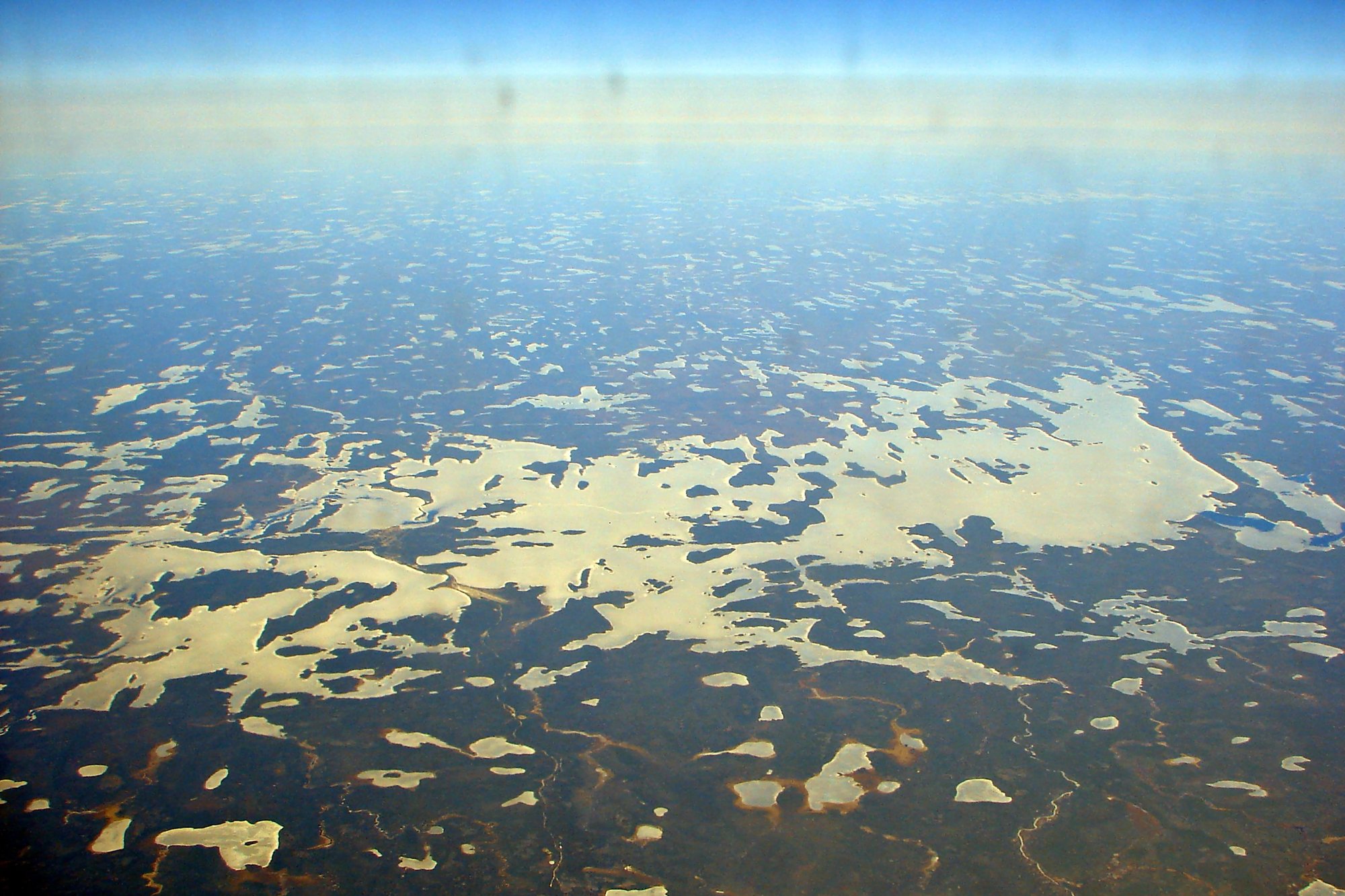
Wunnummin Lake
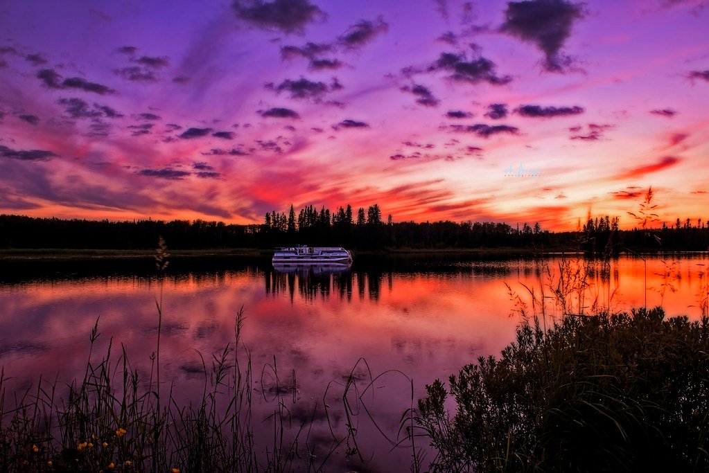
Sturgeon Lake
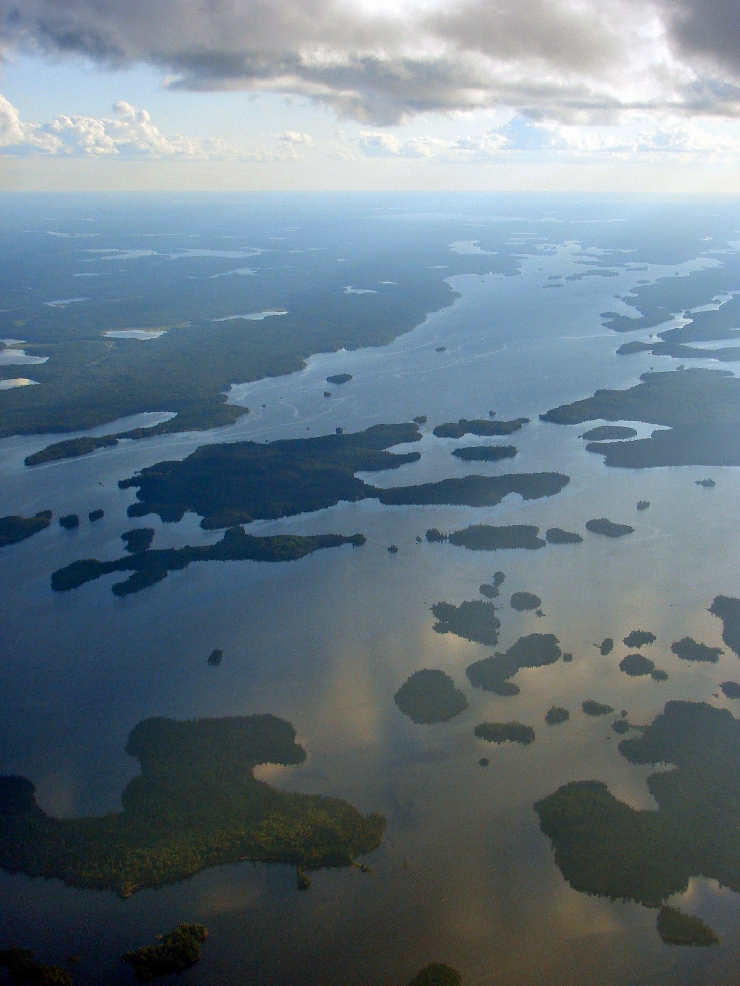
Minnitaki Lake
Explore Nu waters
Top fishing waters
No waters available right now.
Popular Cities
Loading popular cities...
Explore near Clements Markham Inlet

Smarter Fishing Starts in the App.
onWater Fish gives you everything you need to plan smarter, fish better, and own every trip from first cast to last.