Shepody Bay
- Saltwater
- Bay
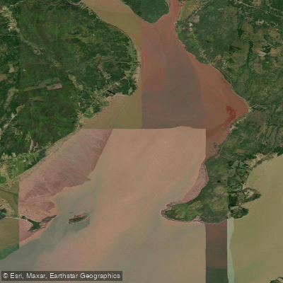
Shepody Bay
- Saltwater
- Bay
- Sq. miles
- 42
- Boat Ramps
- 0
- Access Points
- 0
- Species
- 4
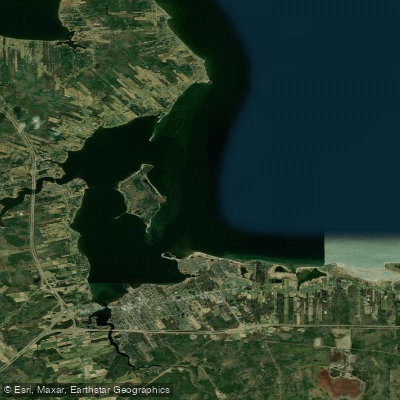
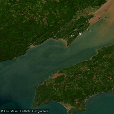
Shepody Bay is a vast tidal bay forming part of the Bay of Fundy in southeastern New Brunswick, renowned for its immense tidal range and rich, productive marine ecosystem. The bay is bordered by Albert County and features a dramatic landscape of salt marshes, mudflats, forested peninsulas, and rocky coastlines. It is a region steeped in history, with Acadian dikes still shaping the marshlands, and is internationally recognized for its critical importance to migratory shorebirds. The waters and adjacent wetlands of Shepody Bay are protected within the Shepody National Wildlife Area, emphasizing conservation while offering opportunities for exploration and angling within a truly unique coastal environment.
Species & education
Learn what type of fish are at Shepody Bay and what's needed to catch them.

Find which waters have the species you want to catch

American Shad
Alosa sapidissima

Atlantic Tomcod
Microgadus tomcod

Silver Hake
Merluccius bilinearis
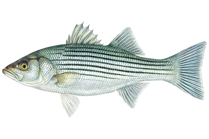
Striped Bass
Morone saxatilis
Fishing spots, boat ramps & amenities
Learn how to get on Shepody Bay. Uncover great fishing access points, boat ramps, and all the facilities you need for an unforgettable day on the water. Some locations shown may border or include private property. Always check property boundaries and applicable regulations before visiting. onWater's Public & Private Land layer can help you plan your access with confidence.
Key areas focus on structure and access points. The confluence zone where Shepody Bay meets Chignecto Bay, around Mary's Point, offers varied terrain including drop-offs near rocky cliffs and channels. The edges of the extensive mudflats become productive fishing grounds as the tide rises. The mouth of the Petitcodiac River creates a nutrient-rich estuary. The sheltered waters near historic Acadian dikes and within the restored marshes can hold fish seeking cover. The coastline featuring cobblestone and sandy beaches, as found in Fundy National Park to the west, provides classic surf-fishing opportunities.
Know where you can legally fish on Shepody Bay
See public and private land boundaries along the water, turn on private parcels with owner details to know where permission is required, and find land-trust parcels that offer permitted fishing access.
Nb licenses and regulations
No licenses or regulations available for Nb.
Take Shepody Bay with you
The onWater Fish app keeps this water's access points, species and conditions in your pocket, with the tools you use once you're there.
Use the map without signal
Download the map around Shepody Bay to use it offline when coverage drops.
Log your catches here
Keep a private fishing journal for Shepody Bay to find where and when fish are biting for you.
Get the onWater Fish app
Free on iOS and Android
Tides, wind & water conditions (10 day forecast)
On open water, wind and tide matter as much as the weather. See the best times to fish Shepody Bay and check the marine forecast before you launch.
Loading tide predictions…
Fishing near Shepody Bay
Explore Nb waters
Top fishing waters
No waters available right now.
Popular Cities
Loading popular cities...
Explore near Shepody Bay

Smarter Fishing Starts in the App.
onWater Fish gives you everything you need to plan smarter, fish better, and own every trip from first cast to last.