Courtenay Bay
- Saltwater
- Bay
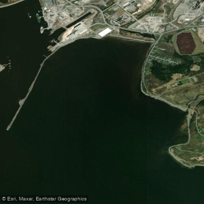
Courtenay Bay
- Saltwater
- Bay
- Sq. miles
- 1.3
- Boat Ramps
- 0
- Access Points
- 0
- Species
- 5
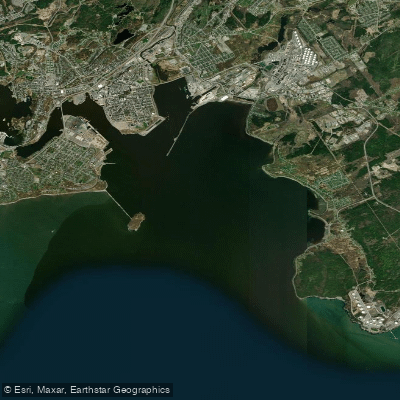
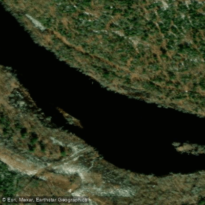
Courtenay Bay is a significant industrial and historical tidal estuary located in the City of Saint John, within the broader Saint John Harbour and Bay of Fundy system. This bay is characterized by extensive sand and mud flats, with the exception of a dredged channel. The area has a long industrial history, hosting facilities such as the Irving Oil terminal, the Courtenay Bay thermal electric generating station, and various marine terminals. The bay's shoreline has been heavily modified through land reclamation and industrial development over centuries. Water quality monitoring has been conducted in the harbor, including Courtenay Bay, with parameters such as temperature, dissolved oxygen, salinity, pH, and turbidity measured regularly.
Species & education
Learn what type of fish are at Courtenay Bay and what's needed to catch them.

Find which waters have the species you want to catch

Atlantic Tomcod
Microgadus tomcod

Pollock
Pollachius virens

Rainbow Smelt
Osmerus mordax

White Hake
Urophycis tenuis

Winter Flounder
Pseudopleuronectes americanus
Fishing spots, boat ramps & amenities
Learn how to get on Courtenay Bay. Uncover great fishing access points, boat ramps, and all the facilities you need for an unforgettable day on the water. Some locations shown may border or include private property. Always check property boundaries and applicable regulations before visiting. onWater's Public & Private Land layer can help you plan your access with confidence.
The primary fishing structure is the dredged channel, which provides deeper water and a defined edge adjacent to the shallow flats. The sand and mud flats themselves can be productive on a rising tide for species that hunt in shallow water. Areas near industrial outflows or structures like the power plant may attract fish due to slightly warmer water or accumulated structure, though anglers should be aware of local access restrictions and safety.
Know where you can legally fish on Courtenay Bay
See public and private land boundaries along the water, turn on private parcels with owner details to know where permission is required, and find land-trust parcels that offer permitted fishing access.
Nb licenses and regulations
No licenses or regulations available for Nb.
Take Courtenay Bay with you
The onWater Fish app keeps this water's access points, species and conditions in your pocket, with the tools you use once you're there.
Use the map without signal
Download the map around Courtenay Bay to use it offline when coverage drops.
Log your catches here
Keep a private fishing journal for Courtenay Bay to find where and when fish are biting for you.
Get the onWater Fish app
Free on iOS and Android
Tides, wind & water conditions (10 day forecast)
On open water, wind and tide matter as much as the weather. See the best times to fish Courtenay Bay and check the marine forecast before you launch.
Loading tide predictions…
Fishing near Courtenay Bay
Explore Nb waters
Top fishing waters
No waters available right now.
Popular Cities
Loading popular cities...
Explore near Courtenay Bay

Smarter Fishing Starts in the App.
onWater Fish gives you everything you need to plan smarter, fish better, and own every trip from first cast to last.