Lac Winnipegosis
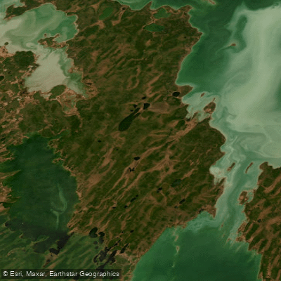
Lac Winnipegosis
- Boat Ramps
- 0
- Access Points
- 0
- Species
- 4
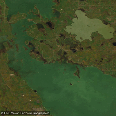
Lac Winnipegosis is one of Canada's great inland fisheries, stretching approximately 193 kilometers in length with a maximum width of around 48 kilometers and covering roughly 537,000 hectares (5,370 km²) in central Manitoba, about 300 kilometers northwest of Winnipeg. Sitting at an elevation of 254 meters above sea level, this shallow, wind-swept lake derives its name from the Cree language, meaning "little muddy waters" — a fitting description for a lake known for its turbid, productive waters. With over 1,700 miles of shoreline and 30 documented fish species, Lac Winnipegosis ranks as Manitoba's third-largest commercial fishery while simultaneously offering outstanding multi-species recreational angling. The lake's shallow, nutrient-rich character supports an exceptionally diverse aquatic food web, making it a destination worth serious consideration for anglers targeting walleye, northern pike, and a host of other species.
Species & education
Learn what type of fish are at Lac Winnipegosis and what's needed to catch them.

Find which waters have the species you want to catch

Arctic Char
Salvelinus alpinus

Lake Whitefish
Coregonus clupeaformis

Rainbow Trout
Oncorhynchus mykiss

Walleye
Sander vitreus
Fishing spots, boat ramps & amenities
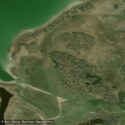
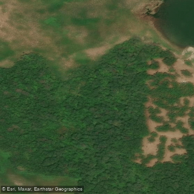
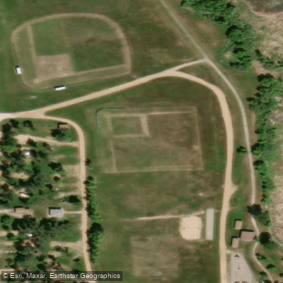
Learn how to get on Lac Winnipegosis. Uncover great fishing access points, boat ramps, and all the facilities you need for an unforgettable day on the water. Some locations shown may border or include private property. Always check property boundaries and applicable regulations before visiting. onWater's Public & Private Land layer can help you plan your access with confidence.
Know where you can legally fish on Lac Winnipegosis
See public and private land boundaries along the water, turn on private parcels with owner details to know where permission is required, and find land-trust parcels that offer permitted fishing access.
Mb licenses and regulations
No licenses or regulations available for Mb.
Take Lac Winnipegosis with you
The onWater Fish app keeps this water's access points, species and conditions in your pocket, with the tools you use once you're there.
Use the map without signal
Download the map around Lac Winnipegosis to use it offline when coverage drops.
Log your catches here
Keep a private fishing journal for Lac Winnipegosis to find where and when fish are biting for you.
HD depth charts from Garmin
Find drop offs, ledges, channels, points and shallow flats with Garmin depth charts in the app.
Get the onWater Fish app
Free on iOS and Android
Water and weather conditions (10 day forecast)
See the best times to fish Lac Winnipegosis and check the forecast before you go.
LAKE WINNIPEGOSIS AT DAWSON BAY
Fishing near Lac Winnipegosis
Explore Mb waters
Top fishing waters
No waters available right now.
Popular Cities
Loading popular cities...
Explore near Lac Winnipegosis

Smarter Fishing Starts in the App.
onWater Fish gives you everything you need to plan smarter, fish better, and own every trip from first cast to last.