Pulpit Rock Trail
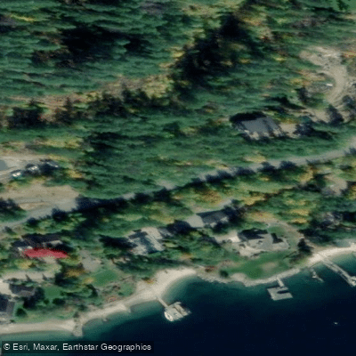
Pulpit Rock Trail
Pulpit Rock Trail is the most popular hiking route in Nelson, British Columbia, with the trailhead located on Johnstone Road on the north side of the West Arm of Kootenay Lake, roughly 3 km from Highway 3A.
The well-maintained path winds through forest via a series of switchbacks, gaining approximately 342 metres in elevation over a 3. 76 km round trip to reach a rock bluff with sweeping views over Nelson and the surrounding valley.
The trailhead also serves as the sole legal access point to the broader Pulpit Rock Trail Network, which includes the Flagpole trails, a Birch Grove spur, and a route continuing to a CBC microwave tower.
The Friends of Pulpit Rock Society maintains the trail system, which sees heavy use from locals and visitors during the non-snow months. Overflow parking is available at the trailhead, though it fills quickly on busy days.
More ways to access Kootenay Lake
Explore the wonders of Kootenay Lake! Find excellent fishing spots, easy access to boat ramps, and all the amenities you need for a memorable day by the water. Your adventure starts here.
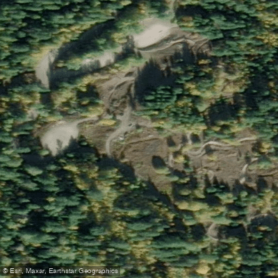
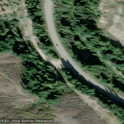
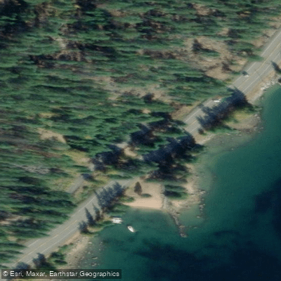
Water and weather conditions (10 day forecast)
Check the forecast at Pulpit Rock Trail before you go fishing.
No forecast data available.
Fishing near Pulpit Rock Trail
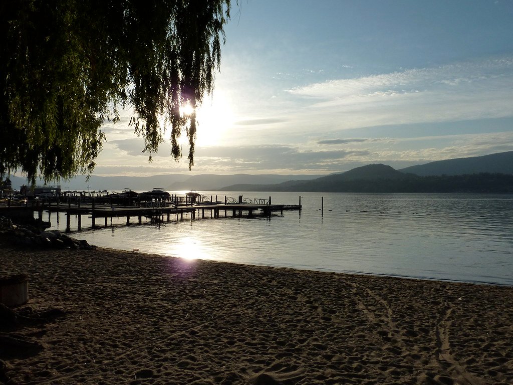
Okanagan Lake
Mill Creek
Lambly Creek
Mission Creek
Bellevue Creek
Hydraulic Creek
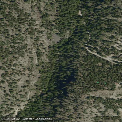
McDougall Creek
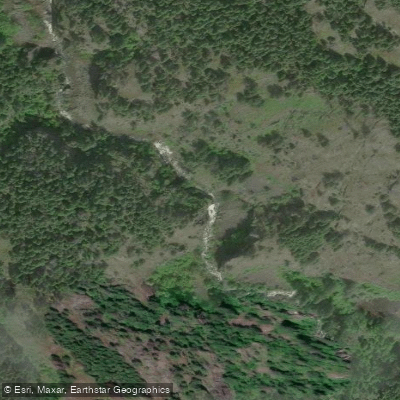
Powers Creek

Vernon Creek
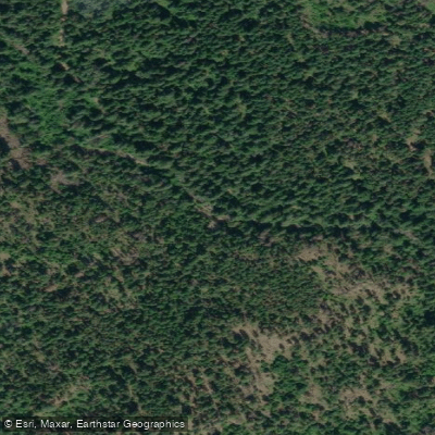
Trépanier Creek
Bc licenses and regulations
Explore Bc waters
Top fishing waters
No waters available right now.
Popular Cities
Loading popular cities...
Explore near Pulpit Rock Trail
On this water
Nearby spots
Nearby waters
More in Bc

Smarter Fishing Starts in the App.
onWater Fish gives you everything you need to plan smarter, fish better, and own every trip from first cast to last.