Bonsall Creek
Bonsall Creek
- Boat Ramps
- 0
- Access Points
- 0
- Species
- 0
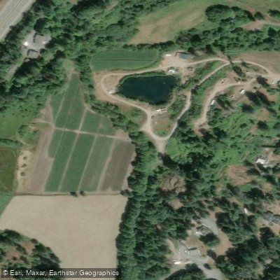
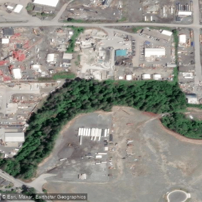
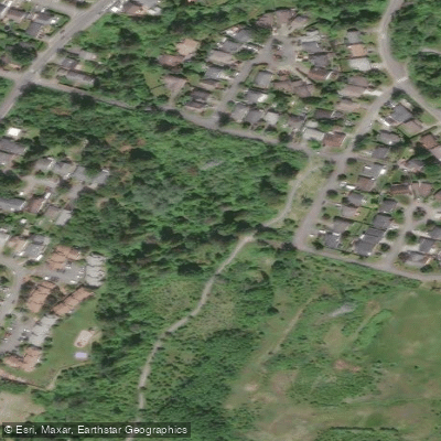
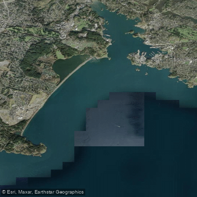
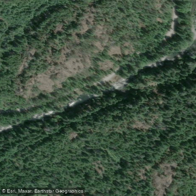
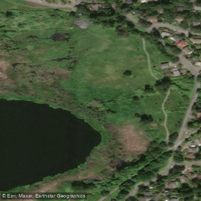
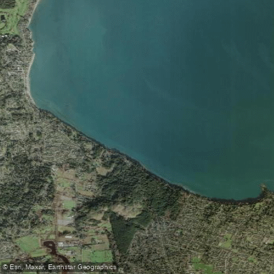
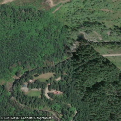
Bonsall Creek is a scenic coastal stream located in the North Cowichan area of Vancouver Island, British Columbia, draining a 36 square kilometre watershed nestled between the larger Chemainus River watershed to the north and the Cowichan River watershed to the south. The creek originates on the slopes of Mount Sicker and Mount Prevost in the west, where elevations exceed 700 metres, and travels approximately 12 kilometres eastward before reaching the ocean near the Town of Crofton. The watershed sits within the Coastal Douglas Fir Biogeoclimatic Zone, one of the rarest and most ecologically distinct zones in British Columbia, covering only about 0.3% of the province. This zone is characterized by Douglas Fir, Western Red Cedar, Western Hemlock, Big Leaf Maple, Red Alder, Pacific Crab Apple, Pacific Dogwood, Garry Oak, and Arbutus — a richly diverse riparian canopy that provides excellent shade and terrestrial insect input to the creek. The surrounding landscape is sparsely developed, with farming and rural residential land uses dominating the valley bottom, while forestry lands — including Municipal Forest Reserve, Crown forests, and private managed forests — cover the upper reaches. Agricultural land is concentrated along the mainstem and tributary corridors, with most farmland used for forage and grass production.
Species & education
Learn what type of fish are at Bonsall Creek and what's needed to catch them.
No species information available.
Fishing spots, boat ramps & amenities
Learn how to get on Bonsall Creek. Uncover great fishing access points, boat ramps, and all the facilities you need for an unforgettable day on the water. Some locations shown may border or include private property. Always check property boundaries and applicable regulations before visiting. onWater's Public & Private Land layer can help you plan your access with confidence.
Know where you can legally fish on Bonsall Creek
See public and private land boundaries along the water, turn on private parcels with owner details to know where permission is required, and find land-trust parcels that offer permitted fishing access.
Bc licenses and regulations
No licenses or regulations available for Bc.
Take Bonsall Creek with you
The onWater Fish app keeps this water's access points, species and conditions in your pocket, with the tools you use once you're there.
Use the map without signal
Download the map around Bonsall Creek to use it offline when coverage drops.
Log your catches here
Keep a private fishing journal for Bonsall Creek to find where and when fish are biting for you.
Get the onWater Fish app
Free on iOS and Android
Water and weather conditions (10 day forecast)
See the best times to fish Bonsall Creek and check the forecast before you go.
No forecast data available.
Fishing near Bonsall Creek
Explore Bc waters
Top fishing waters
No waters available right now.
Popular Cities
Loading popular cities...
Explore near Bonsall Creek

Smarter Fishing Starts in the App.
onWater Fish gives you everything you need to plan smarter, fish better, and own every trip from first cast to last.