Moonraker Trails
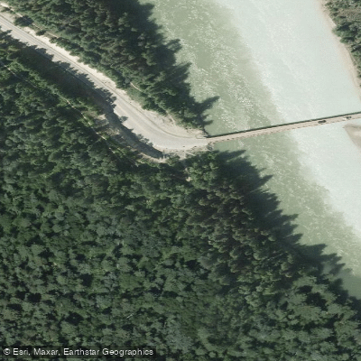
Moonraker Trails
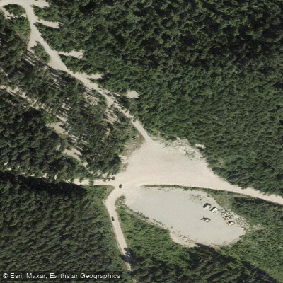
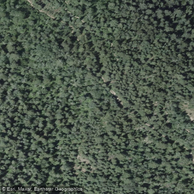
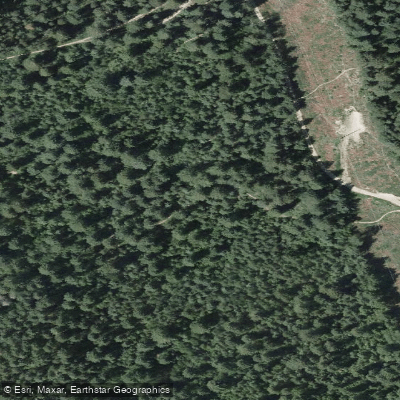
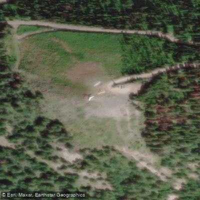
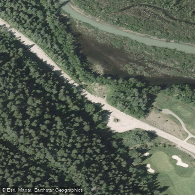
Moonraker Trails is a multi-use trail network located on the west bench of the Columbia River, directly across from the Town of Golden, British Columbia. The trailhead is accessed via Cedar Lake Forest Service Road.
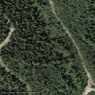
Spanning more than 50 kilometres of trail, the system is well suited to mountain biking, hiking, and equestrian use, with the majority of routes rated intermediate in difficulty.
Recent improvements have been developed in partnership with the Golden Cycling Club and the Ministry of Forests, Lands and Natural Resource Operations.
The network offers a mix of smooth flow trails and more technical terrain, including fast cornering descents on routes like Devil's Slide and steeper challenges along Canyon Creek, which follows the canyon rim.
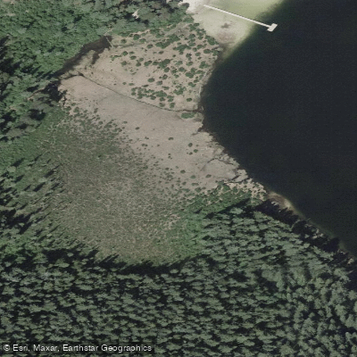
The connected CBT Mainline trails provide an approach from downtown Golden and add further riding options. In winter, the trails attract cross-country skiers and snowshoers. Cedar Lake Recreation Site is nearby for those seeking camping or beach access.
Nearby points of interest
Find excellent fishing spots, easy access to boat ramps, and all the amenities you need for a memorable day. Your adventure starts here.
Water and weather conditions (10 day forecast)
Check the forecast at Moonraker Trails before you go fishing.
No forecast data available.
Fishing near Moonraker Trails
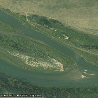
Bow River
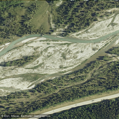
Elbow River
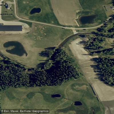
Fish Creek
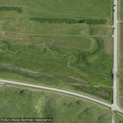
West Nose Creek
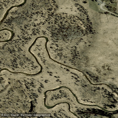
Dogpound Creek
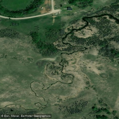
Lott Creek
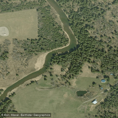
Little Red Deer River
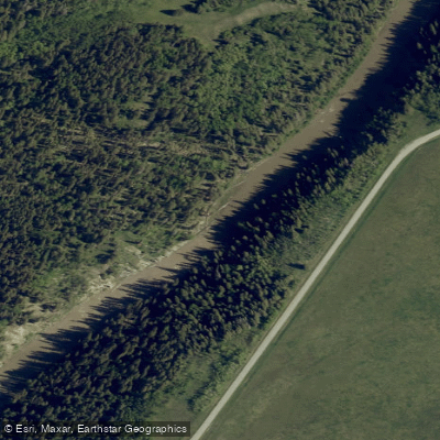
Sheep River
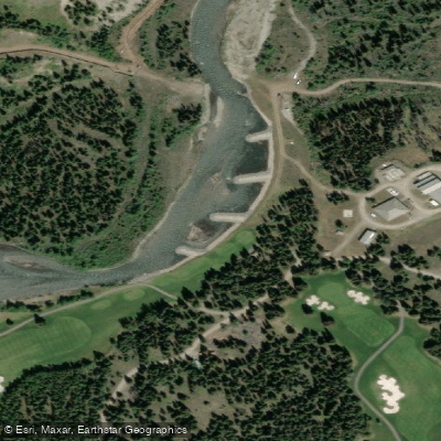
Kananaskis River
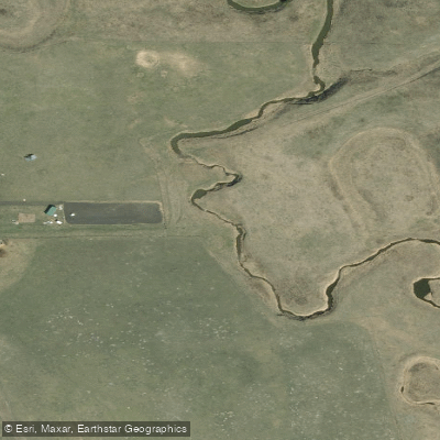
Rosebud River
Bc licenses and regulations
Explore Bc waters
Top fishing waters
No waters available right now.
Popular Cities
Loading popular cities...
Explore near Moonraker Trails

Smarter Fishing Starts in the App.
onWater Fish gives you everything you need to plan smarter, fish better, and own every trip from first cast to last.