Merry Creek Hiking
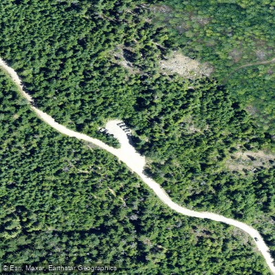
Merry Creek Hiking
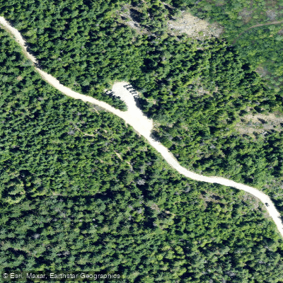
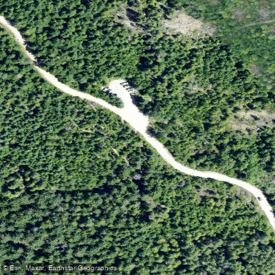
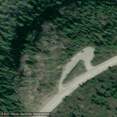
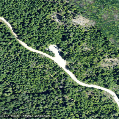
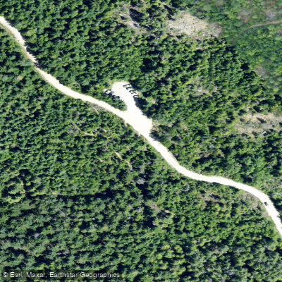
Merry Creek Hiking is a trailhead access point situated along Merry Creek Forest Service Road, south of Castlegar in British Columbia's Kootenay region.
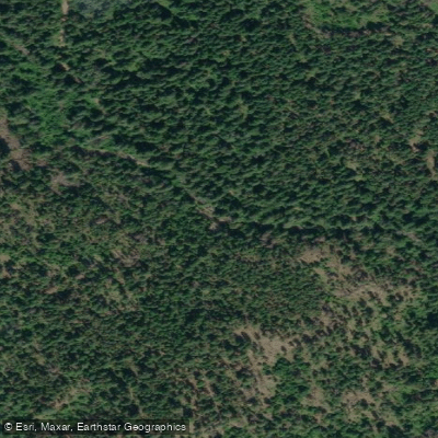
The spacious parking area serves a network of easy, family-friendly trails that wind through shaded forest and over wooden boardwalks, following the rushing waters of Merry Creek through its watershed.
From the trailhead, hikers can explore three main routes — the Big Cedar Trail, Merry Valley Trail, and Columbia Trail — covering roughly 5–5. 3 km in a lollipop configuration with minimal elevation gain.
Highlights include foot bridges crossing Merry Creek, Iverson Creek, Milestone Brook, and Trillium Brook, wildlife and birding opportunities, interpretive signage, and a viewpoint overlooking the Columbia River Valley and surrounding Selkirk Mountains.
The trailhead also serves as a hub for mountain biking trails in the area. The hiking season generally runs from early May to early November.
Nearby points of interest
Find excellent fishing spots, easy access to boat ramps, and all the amenities you need for a memorable day. Your adventure starts here.
Water and weather conditions (10 day forecast)
Check the forecast at Merry Creek Hiking before you go fishing.
No forecast data available.
Fishing near Merry Creek Hiking
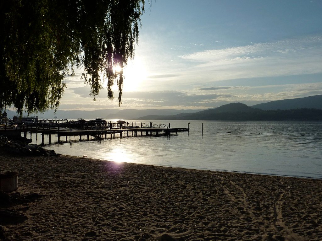
Okanagan Lake
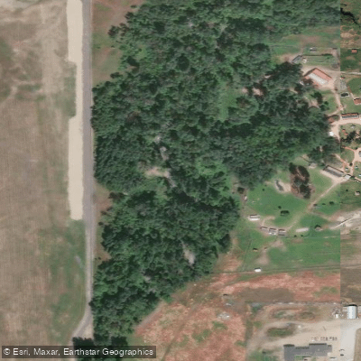
Mill Creek
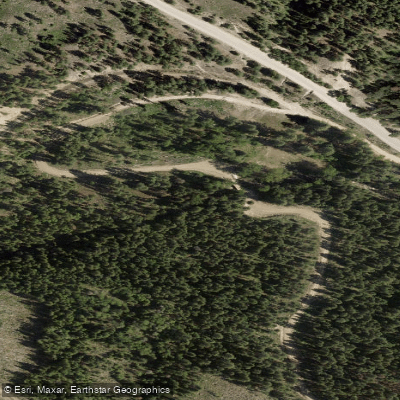
Lambly Creek
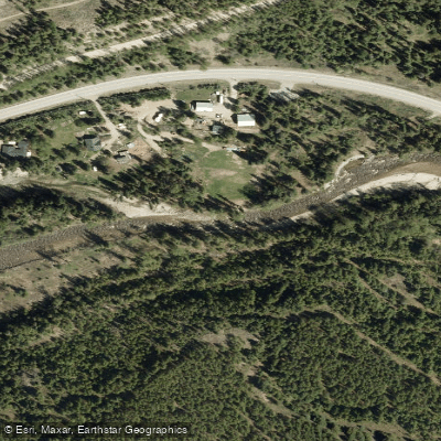
Mission Creek
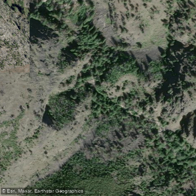
Bellevue Creek
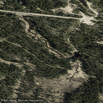
Hydraulic Creek
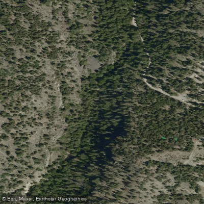
McDougall Creek
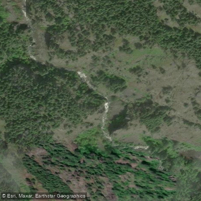
Powers Creek

Vernon Creek
Trépanier Creek
Bc licenses and regulations
Explore Bc waters
Top fishing waters
No waters available right now.
Popular Cities
Loading popular cities...
Explore near Merry Creek Hiking
Nearby spots
Nearby waters
More in Bc

Smarter Fishing Starts in the App.
onWater Fish gives you everything you need to plan smarter, fish better, and own every trip from first cast to last.