High Falls Creek Trail
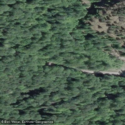
High Falls Creek Trail
The High Falls Creek Trail is a loop hike located off the Squamish River Forest Service Road, roughly 36 kilometres from Squamish in British Columbia's Squamish Valley.
The trailhead sits just past a BC Hydro generating station and a wooden bridge, on the right-hand side of the FSR.
The route covers approximately 8–9 kilometres with around 500 metres of elevation gain and takes most hikers three to four and a half hours to complete.
It features a steep, moss-covered canyon trail with fixed chains and ropes to assist on the most technical scrambling sections, leading past impressive waterfalls set within a narrow gorge.
Completing the loop means descending via a logging road that offers broad views across the Squamish River Valley, avoiding the need to reverse the exposed scramble sections. The trail demands caution, particularly near the canyon edges and on wet rock.
It is best suited to hikers comfortable with moderate scrambling and exposure to heights.
Nearby points of interest
Find excellent fishing spots, easy access to boat ramps, and all the amenities you need for a memorable day. Your adventure starts here.
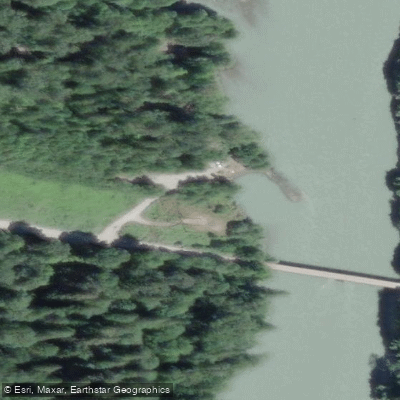
Water and weather conditions (10 day forecast)
Check the forecast at High Falls Creek Trail before you go fishing.
No forecast data available.
Fishing near High Falls Creek Trail

Fleuve Fraser
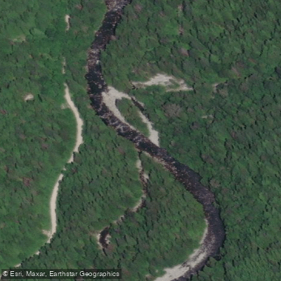
Capilano River

Burrard Inlet

Lynn Creek

Coquitlam River
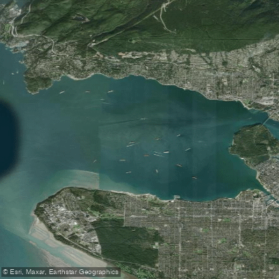
Outer Vancouver Harbour

Pitt River

Serpentine River
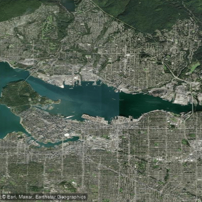
Inner Vancouver Harbour

Alouette River
Bc licenses and regulations
Explore Bc waters
Top fishing waters
No waters available right now.
Popular Cities
Loading popular cities...
Explore near High Falls Creek Trail
Nearby spots
Nearby waters
More in Bc

Smarter Fishing Starts in the App.
onWater Fish gives you everything you need to plan smarter, fish better, and own every trip from first cast to last.