Davis Creek Trail
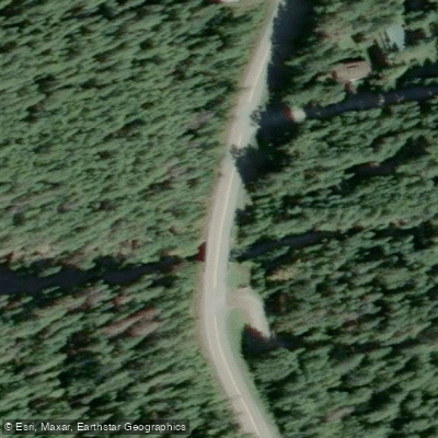
Davis Creek Trail
Davis Creek Trail begins on the north side of Davis Creek, just off Highway 31 near Davis Creek Provincial Park, roughly 28 km north of Kaslo in British Columbia's West Kootenay region.
The trailhead is accessible from the highway shoulder, just past the Davis Creek bridge. The route is rated difficult, covering 8. 8 km round trip with 700 m of elevation gain over an estimated 4–5 hours.
The first half is notably steep, climbing approximately 475 m in under 2 km via switchbacks through dense forest. Higher up, the trail eases into old-growth cedar forest and continues to Fishhook Lake.
Along the way, several scenic viewpoints offer panoramic views of Kootenay Lake, Duncan Lake, Argenta, Lardeau, and the Selkirk Mountains. The trail is generally accessible from late May through late October.
Nearby points of interest
Find excellent fishing spots, easy access to boat ramps, and all the amenities you need for a memorable day. Your adventure starts here.
Water and weather conditions (10 day forecast)
Check the forecast at Davis Creek Trail before you go fishing.
No forecast data available.
Fishing near Davis Creek Trail
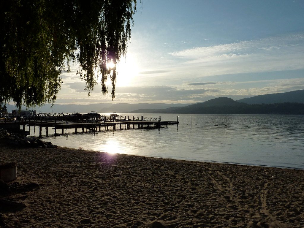
Okanagan Lake
Mill Creek
Lambly Creek
Mission Creek
Bellevue Creek
Hydraulic Creek
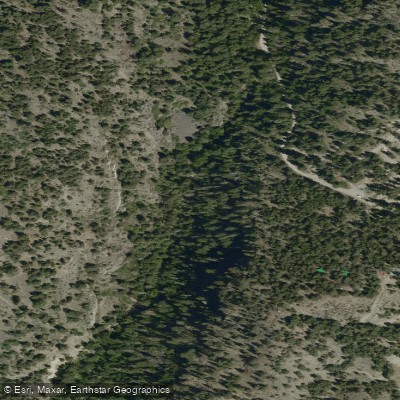
McDougall Creek
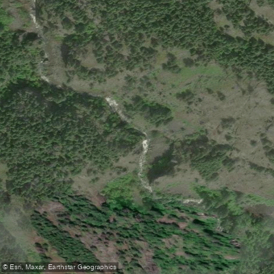
Powers Creek

Vernon Creek
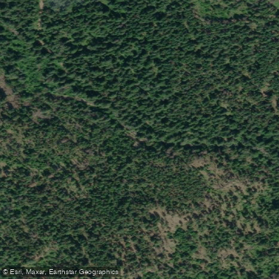
Trépanier Creek
Bc licenses and regulations
Explore Bc waters
Top fishing waters
No waters available right now.
Popular Cities
Loading popular cities...
Explore near Davis Creek Trail

Smarter Fishing Starts in the App.
onWater Fish gives you everything you need to plan smarter, fish better, and own every trip from first cast to last.