Cachoeira Da Anta
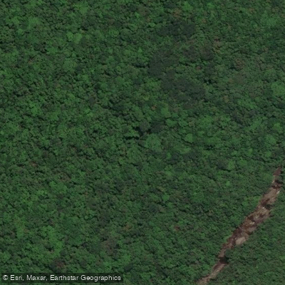
Cachoeira Da Anta
The snippets reference waterfalls along the Rio Cambirela but do not provide specific details about Cachoeira da Anta itself — its height, pool, access point, or distinguishing features.
However, the available context does place it within a well-defined natural setting worth describing from confirmed facts.
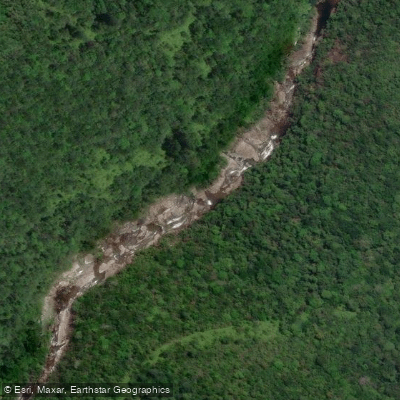
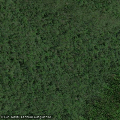
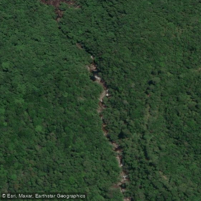
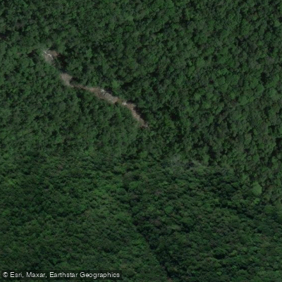
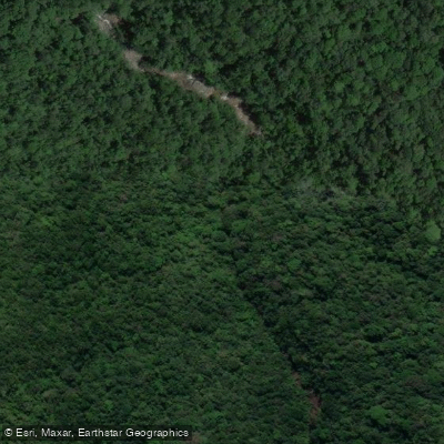
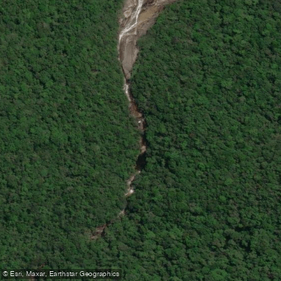
Cachoeira da Anta is one of several waterfalls found along the Rio Cambirela, which descends from the Maciço do Cambirela in the municipality of Palhoça, Santa Catarina.
The river carries clear mountain water down the slopes of Morro do Cambirela, a peak reaching 1,052 meters and visible from Florianópolis and surrounding cities including São José, Biguaçu, and Santo Amaro da Imperatriz.
The waterfall is reached via hiking trails that wind through the massif, popular with ecotourism enthusiasts.
Hikes in the area typically take around three hours, though the terrain is rugged enough that rescue operations by the Corpo de Bombeiros, often requiring helicopter support, are not uncommon for those who become lost.
Nearby points of interest
Find excellent fishing spots, easy access to boat ramps, and all the amenities you need for a memorable day. Your adventure starts here.
Water and weather conditions (10 day forecast)
Check the forecast at Cachoeira Da Anta before you go fishing.
No forecast data available.
Fishing near Cachoeira Da Anta
Rio Cubatão
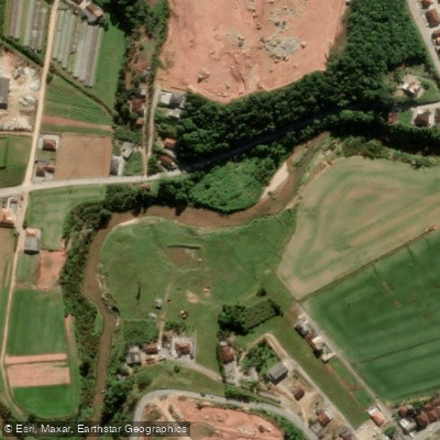
Rio Biguaçu
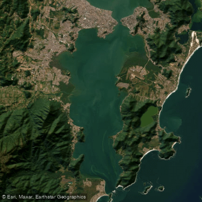
Baía Sul
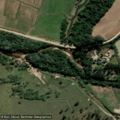
Rio da Madre
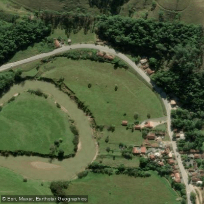
Rio Tijucas
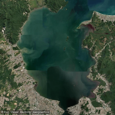
Baía Norte
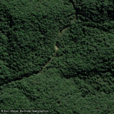
Rio Espraiado
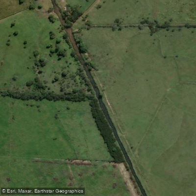
Rio D'Una
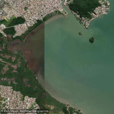
Baía da Palhoça
Rio Paulo Lopes
Santa Catarina licenses and regulations
Explore Santa Catarina waters
Top fishing waters
No waters available right now.
Popular Cities
Loading popular cities...
Explore near Cachoeira Da Anta
Nearby waters
More in Santa Catarina

Smarter Fishing Starts in the App.
onWater Fish gives you everything you need to plan smarter, fish better, and own every trip from first cast to last.