Rio Paraopeba
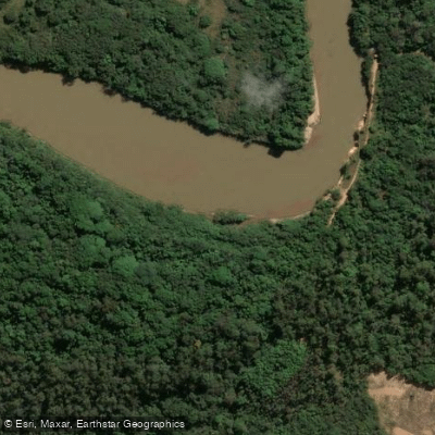
Rio Paraopeba
- Boat Ramps
- 0
- Access Points
- 0
- Species
- 0
Rio Paraopeba is one of the most significant tributaries of the Rio São Francisco within the state of Minas Gerais, Brazil, stretching approximately 510 kilometers from its headwaters in the extreme southern reaches of the Serra do Espinhaço, near the municipality of Cristiano Otoni, to its mouth at the Três Marias Dam on the Rio São Francisco. The river drains a basin of roughly 12,054 to 13,642 square kilometers across the central and southeastern region of Minas Gerais, flowing through a diverse landscape that encompasses the Iron Quadrangle geology, rolling cerrado terrain, agricultural lands, and heavily industrialized urban corridors. The river is broadly divided into three distinct sections — Upper Paraopeba, Middle Paraopeba, and Lower Paraopeba — each offering different fishing character and species composition. The basin's varied physiography, including iron ore geology, metallurgical and automotive industry corridors, and agricultural zones, has shaped both the river's ecology and its fishing opportunities over time.
Species & education
Learn what type of fish are at Rio Paraopeba and what's needed to catch them.
No species information available.
Fishing spots, boat ramps & amenities
Learn how to get on Rio Paraopeba. Uncover great fishing access points, boat ramps, and all the facilities you need for an unforgettable day on the water. Some locations shown may border or include private property. Always check property boundaries and applicable regulations before visiting. onWater's Public & Private Land layer can help you plan your access with confidence.
Know where you can legally fish on Rio Paraopeba
See public and private land boundaries along the water, turn on private parcels with owner details to know where permission is required, and find land-trust parcels that offer permitted fishing access.
Minas Gerais licenses and regulations
No licenses or regulations available for Minas Gerais.
Take Rio Paraopeba with you
The onWater Fish app keeps this water's access points, species and conditions in your pocket, with the tools you use once you're there.
Use the map without signal
Download the map around Rio Paraopeba to use it offline when coverage drops.
Log your catches here
Keep a private fishing journal for Rio Paraopeba to find where and when fish are biting for you.
Get the onWater Fish app
Free on iOS and Android
Water and weather conditions (10 day forecast)
See the best times to fish Rio Paraopeba and check the forecast before you go.
Jurema
All Flow Stations
Fishing near Rio Paraopeba
Rio das Velhas
Ribeirão da Prata
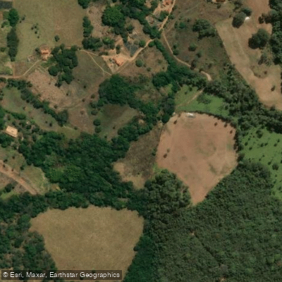
Ribeirão Serra Azul
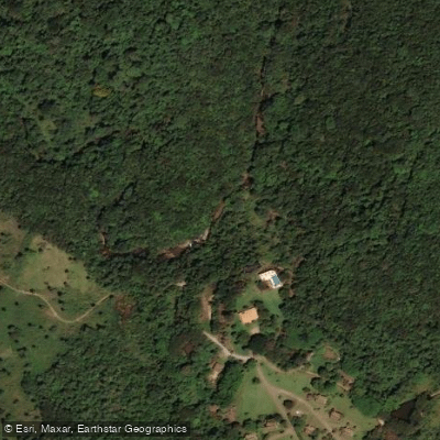
Ribeirão Casa Branca
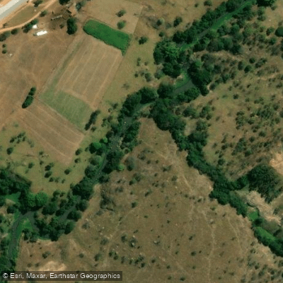
Rio São João
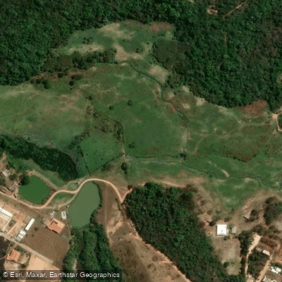
Ribeirão Betim
Ribeirão Ibirité
Rio Pará
Rio Conceição
Explore Minas Gerais waters
Top fishing waters
No waters available right now.
Popular Cities
Loading popular cities...
Explore near Rio Paraopeba
Fishing spots
Nearby waters
More in Minas Gerais

Smarter Fishing Starts in the App.
onWater Fish gives you everything you need to plan smarter, fish better, and own every trip from first cast to last.