Rio Tietê
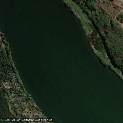
Rio Tietê
- Boat Ramps
- 0
- Access Points
- 1
- Species
- 7
The Rio Tietê is São Paulo state's most significant river, stretching approximately 1,150 kilometers from its headwaters in Salesópolis — at an elevation of 1,120 meters in the Serra do Mar — westward across the entire state before emptying into the Paraná River near the Engenheiro Souza Dias (Jupiá) Dam. The river drains a basin of over 72,000 square kilometers and carries an average discharge near its mouth of roughly 937 cubic meters per second. For anglers, the most productive and fishable stretches begin around Barra Bonita, approximately 290 kilometers from São Paulo (about a four-hour drive), where the water clears considerably and the river becomes navigable. From Barra Bonita downstream to Pereira Barreto, a series of dams and reservoirs have transformed the river into a chain of productive impoundments, with average depths ranging from 6 to 14 meters and a maximum depth of approximately 28 meters. These impoundments create a diverse mix of habitats — deep reservoir basins, flooded timber, rocky points, dam tailwaters, and current-swept channels — that support a rich and varied fishery. Water temperatures in the most productive fishing range fall between 24 and 29°C, and the best overall fishing season runs from August through March.
Species & education
Learn what type of fish are at Rio Tietê and what's needed to catch them.

Find which waters have the species you want to catch

Dama
Salminus brasiliensis

Dourado branco
Salminus hilarii

Ferreirinha
Leporinus octofasciatus

Nile Tilapia
Oreochromis niloticus

Pirapitinga
Brycon opalinus

Tarango
Hoplias malabaricus

Trairão
Hoplias australis
Fishing spots, boat ramps & amenities
Learn how to get on Rio Tietê. Uncover great fishing access points, boat ramps, and all the facilities you need for an unforgettable day on the water. Some locations shown may border or include private property. Always check property boundaries and applicable regulations before visiting. onWater's Public & Private Land layer can help you plan your access with confidence.
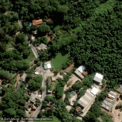
Know where you can legally fish on Rio Tietê
See public and private land boundaries along the water, turn on private parcels with owner details to know where permission is required, and find land-trust parcels that offer permitted fishing access.
Mato Grosso Do Sul licenses and regulations
No licenses or regulations available for Mato Grosso Do Sul.
Take Rio Tietê with you
The onWater Fish app keeps this water's access points, species and conditions in your pocket, with the tools you use once you're there.
Use the map without signal
Download the map around Rio Tietê to use it offline when coverage drops.
Log your catches here
Keep a private fishing journal for Rio Tietê to find where and when fish are biting for you.
Get the onWater Fish app
Free on iOS and Android
Water and weather conditions (10 day forecast)
See the best times to fish Rio Tietê and check the forecast before you go.
Cgh Salesópolis Jusante
All Flow Stations
Fishing near Rio Tietê
Rio Sorocaba
Rio Sarapuí
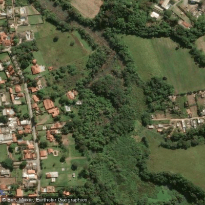
Rio Ipanema
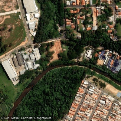
Rio Jundiaí
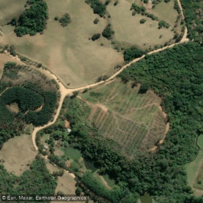
Rio Piragibu
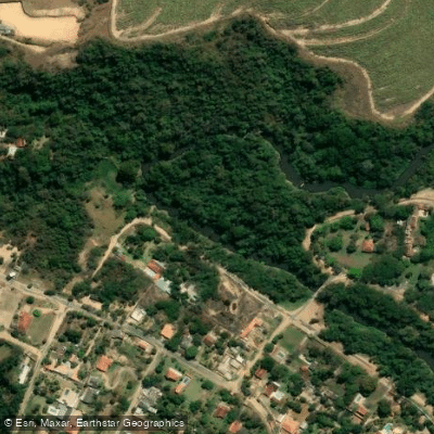
Rio Capivari
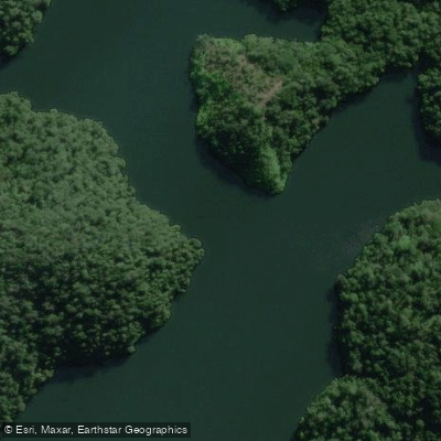
Rio Juquiá-Guaçu
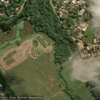
Ribeirão do Lajeado
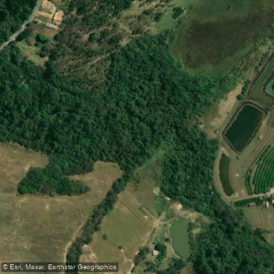
Ribeirão Iperó
Explore Mato Grosso Do Sul waters
Top fishing waters
No waters available right now.
Popular Cities
Loading popular cities...
Explore near Rio Tietê
Nearby waters
More in Mato Grosso Do Sul

Smarter Fishing Starts in the App.
onWater Fish gives you everything you need to plan smarter, fish better, and own every trip from first cast to last.