Açude Orós
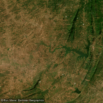
Açude Orós
- Boat Ramps
- 0
- Access Points
- 0
- Species
- 1
Açude Orós, officially known as Açude Presidente Juscelino Kubistchek de Oliveira, is one of the most significant reservoirs in the state of Ceará, Brazil. Formed by the damming of the Rio Jaguaribe near the municipality of Orós in the center-south of the state, this massive impoundment was completed in 1961 by the Departamento Nacional de Obras Contra as Secas (DNOCS) and inaugurated on January 11 of that year. With a storage capacity of approximately 2.1 billion cubic meters, it stands as the second largest reservoir in Ceará — a title it held as the largest until the construction of Açude Castanhão in 2003. The reservoir sits at coordinates 6°14'19.68"S, 38°55'30"W and plays a critical role in water resource management for the semi-arid sertão region of northeastern Brazil. Its sheer scale, combined with its location in the Rio Jaguaribe basin, makes it a notable destination for anglers exploring the interior of Ceará.
Species & education
Learn what type of fish are at Açude Orós and what's needed to catch them.

Find which waters have the species you want to catch

Oscar
Astronotus ocellatus
Fishing spots, boat ramps & amenities
Learn how to get on Açude Orós. Uncover great fishing access points, boat ramps, and all the facilities you need for an unforgettable day on the water. Some locations shown may border or include private property. Always check property boundaries and applicable regulations before visiting. onWater's Public & Private Land layer can help you plan your access with confidence.
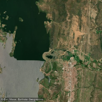
Know where you can legally fish on Açude Orós
See public and private land boundaries along the water, turn on private parcels with owner details to know where permission is required, and find land-trust parcels that offer permitted fishing access.
Ceará licenses and regulations
No licenses or regulations available for Ceará.
Take Açude Orós with you
The onWater Fish app keeps this water's access points, species and conditions in your pocket, with the tools you use once you're there.
Use the map without signal
Download the map around Açude Orós to use it offline when coverage drops.
Log your catches here
Keep a private fishing journal for Açude Orós to find where and when fish are biting for you.
HD depth charts from Garmin
Find drop offs, ledges, channels, points and shallow flats with Garmin depth charts in the app.
Get the onWater Fish app
Free on iOS and Android
Water and weather conditions (10 day forecast)
See the best times to fish Açude Orós and check the forecast before you go.
Orós - Tunel
All Flow Stations
Fishing near Açude Orós
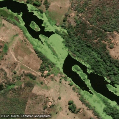
Rio Jaguaribe
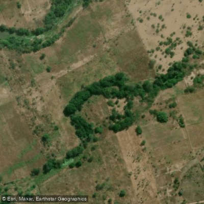
Rio dos Bastiões
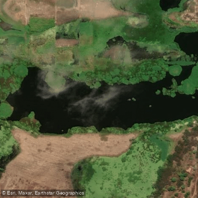
Rio Banabuiú
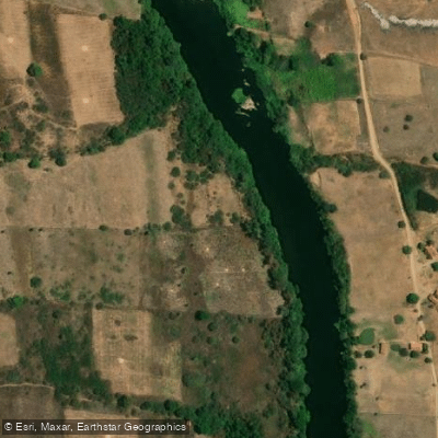
Rio Salgado
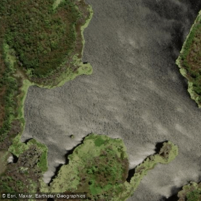
Rio Areré
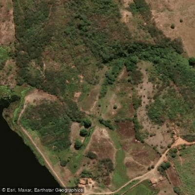
Rio dos Oitis
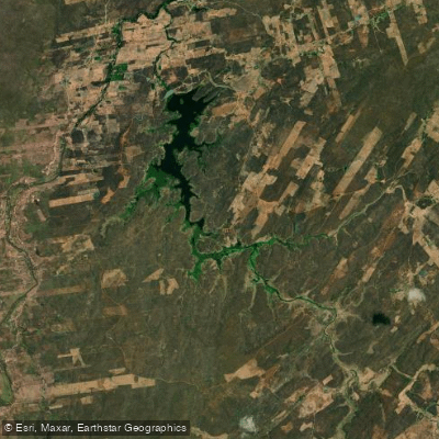
Açude Muquém
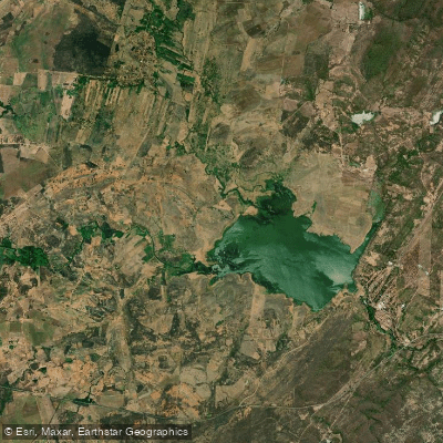
Açude Lima Campos
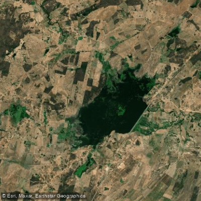
Açude Madeira Cortada
Explore Ceará waters
Top fishing waters
No waters available right now.
Popular Cities
Loading popular cities...
Explore near Açude Orós
Fish species
Nearby waters
More in Ceará

Smarter Fishing Starts in the App.
onWater Fish gives you everything you need to plan smarter, fish better, and own every trip from first cast to last.