Rio Purus
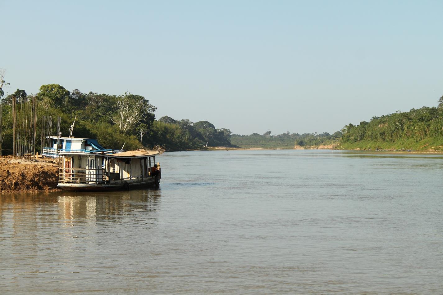
Rio Purus
- Boat Ramps
- 0
- Access Points
- 0
- Species
- 2
The Rio Purus is one of the great rivers of the Amazon Basin, winding through the states of Acre and Amazonas in Brazil before joining the Amazon River. It is renowned as one of the most sinuous rivers in the world — its length following its curves is more than double its straight-line distance, creating an extraordinary labyrinth of oxbow lakes, floodplain channels, and backwater habitats that support exceptional biodiversity. For most of its navigable length, the river maintains a remarkably uniform width, and for roughly 800 miles (1,300 km) of its course, depth never drops below 45 feet (14 m), making it a deep, powerful lowland river rather than a wading fishery. Its elevation is extremely low — only about 107 feet (33 m) above sea level some 590 miles from its mouth — reflecting its character as a slow-moving, lake-flooded drainage system through one of the most biodiverse regions on Earth. The river supports a thriving commercial and sport fishery, with key fishing cities including Boca do Acre, Lábrea, and Rio Branco along its course.
Species & education
Learn what type of fish are at Rio Purus and what's needed to catch them.

Find which waters have the species you want to catch

Baboso
Brachyplatystoma platynemum

Pescada
Plagioscion squamosissimus
Fishing spots, boat ramps & amenities
Learn how to get on Rio Purus. Uncover great fishing access points, boat ramps, and all the facilities you need for an unforgettable day on the water. Some locations shown may border or include private property. Always check property boundaries and applicable regulations before visiting. onWater's Public & Private Land layer can help you plan your access with confidence.
Know where you can legally fish on Rio Purus
See public and private land boundaries along the water, turn on private parcels with owner details to know where permission is required, and find land-trust parcels that offer permitted fishing access.
Acre licenses and regulations
No licenses or regulations available for Acre.
Take Rio Purus with you
The onWater Fish app keeps this water's access points, species and conditions in your pocket, with the tools you use once you're there.
Use the map without signal
Download the map around Rio Purus to use it offline when coverage drops.
Log your catches here
Keep a private fishing journal for Rio Purus to find where and when fish are biting for you.
Get the onWater Fish app
Free on iOS and Android
Water and weather conditions (10 day forecast)
See the best times to fish Rio Purus and check the forecast before you go.
Santa Rosa Do Purus(Colonia Chambuiaco)
All Flow Stations
Fishing near Rio Purus
Rio Madeira

Rio das Garças
Rio Candeias

Igarapé Cuniã
Rio Preto do Candeias
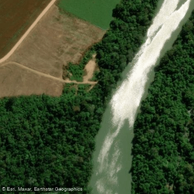
Rio Jamari
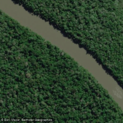
Rio Mucuim
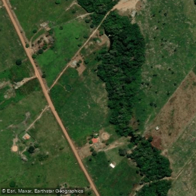
Igarapé Água Azul

Rio Novo

Rio Açuã
Explore Acre waters
Top fishing waters
No waters available right now.
Popular Cities
Loading popular cities...
Explore near Rio Purus

Smarter Fishing Starts in the App.
onWater Fish gives you everything you need to plan smarter, fish better, and own every trip from first cast to last.