Peel Inlet
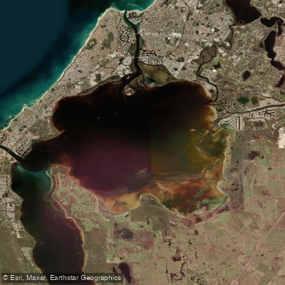
Peel Inlet
- Boat Ramps
- 7
- Access Points
- 5
- Species
- 3
Peel Inlet is a vast, shallow estuarine system located near Mandurah, Western Australia's second largest city, situated less than an hour south of Perth. Covering approximately 134 square kilometres (around 32,889 acres) and connected to the Indian Ocean via the Dawesville Channel and Harvey Estuary, this remarkable waterway forms part of the broader Peel-Harvey Estuary — a system twice the size of Sydney Harbour. The inlet encompasses a diverse mix of shallow estuarine, saline, brackish, and freshwater environments, with a shoreline stretching nearly 100 miles. Listed under the Ramsar Convention in 1990 as a wetland of international importance, Peel Inlet is widely regarded as one of Australia's most spectacular destinations for boating, fishing, and wildlife watching. Its unique geography and ecological diversity make it a world-class fishery for a range of highly sought-after species.
Species & education
Learn what type of fish are at Peel Inlet and what's needed to catch them.

Find which waters have the species you want to catch

Brown Trout
Salmo trutta

Flathead Grey Mullet
Mugil cephalus

Rainbow Trout
Oncorhynchus mykiss
Fishing spots, boat ramps & amenities
Learn how to get on Peel Inlet. Uncover great fishing access points, boat ramps, and all the facilities you need for an unforgettable day on the water. Some locations shown may border or include private property. Always check property boundaries and applicable regulations before visiting. onWater's Public & Private Land layer can help you plan your access with confidence.
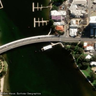
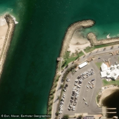
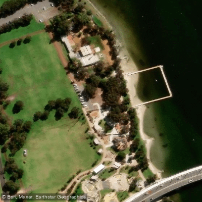
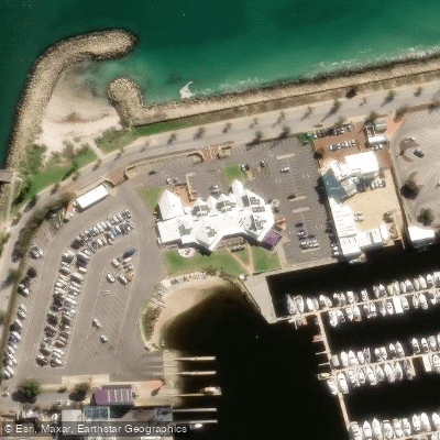
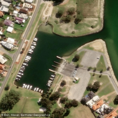
Know where you can legally fish on Peel Inlet
See public and private land boundaries along the water, turn on private parcels with owner details to know where permission is required, and find land-trust parcels that offer permitted fishing access.
Western Australia licenses and regulations

Western Australia Boating Regulations
Official WA Department of Transport page for recreational boating rules, including vessel registration, safety equipment and lifejacket requirements, speed limits, and marine alcohol and drug laws under the WA Marine Act 1982.

Western Australia Fishing License
Official WA DPIRD page for recreational fishing licences. WA has activity-specific licences rather than one general licence, including a South-West Freshwater Angling licence for inland fishing, plus separate licences for boat fishing, net fishing, rock lobster, abalone, and marron.

Western Australia Fishing Regulations
Official DPIRD page for WA recreational fishing rules, covering bag, size and possession limits, closed seasons, and gear restrictions. Links to the searchable rules database for limits by species and location.

Western Australia Stream Access Laws
WA has no dedicated public stream-access page; this is the closest official page, covering WA's water resources legislation, primarily the Rights in Water and Irrigation Act 1914, which vests water in the Crown.
Take Peel Inlet with you
The onWater Fish app keeps this water's access points, species and conditions in your pocket, with the tools you use once you're there.
Use the map without signal
Download the map around Peel Inlet to use it offline when coverage drops.
Log your catches here
Keep a private fishing journal for Peel Inlet to find where and when fish are biting for you.
HD depth charts from Garmin
Find drop offs, ledges, channels, points and shallow flats with Garmin depth charts in the app.
Get the onWater Fish app
Free on iOS and Android
Water and weather conditions (10 day forecast)
See the best times to fish Peel Inlet and check the forecast before you go.
No forecast data available.
Fishing near Peel Inlet
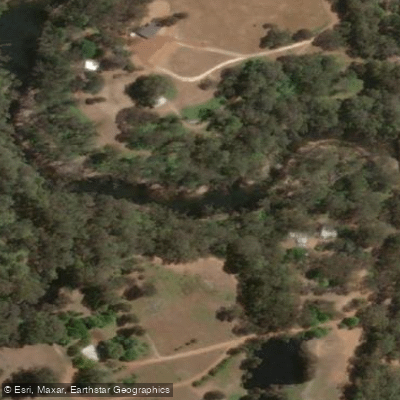
Murray River
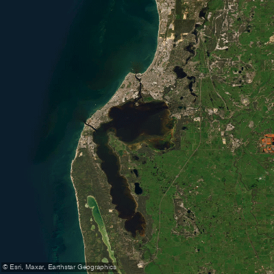
Peel-Harvey Estuary
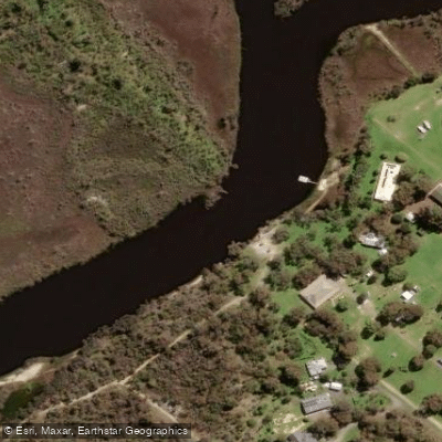
Serpentine River
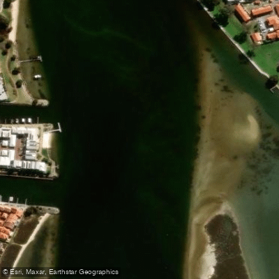
Mandurah Estuary
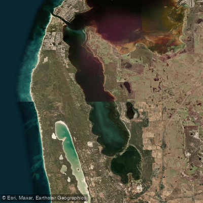
Harvey Estuary
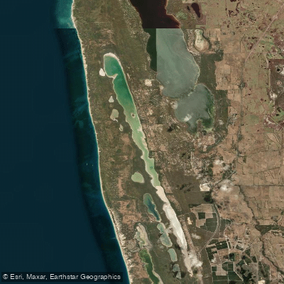
Lake Clifton
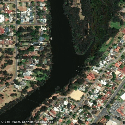
Swan River
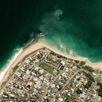
Doddis Beach
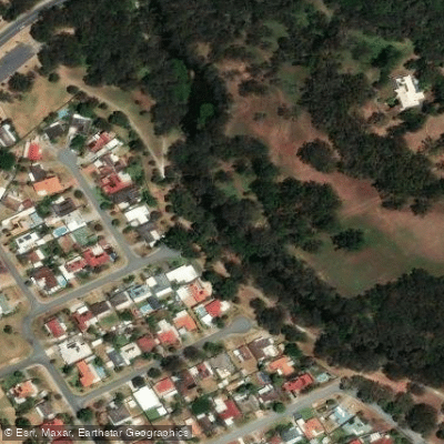
Canning River
Explore Western Australia waters
Top fishing waters
No waters available right now.
Popular Cities
Loading popular cities...
Explore near Peel Inlet
Fish species
Fishing spots
Nearby waters
More in Western Australia

Smarter Fishing Starts in the App.
onWater Fish gives you everything you need to plan smarter, fish better, and own every trip from first cast to last.