Leschenault Inlet
- Saltwater
- Estuary
Leschenault Inlet
- Saltwater
- Estuary
- Sq. miles
- 7.5
- Boat Ramps
- 1
- Access Points
- 0
- Species
- 3
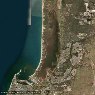
Leschenault Inlet is a sheltered estuarine lagoon located within the Shire of Harvey, Western Australia, immediately north of Bunbury. Formed approximately 8,000 years ago behind the Leschenault Peninsula dune system, this significant waterway is approximately 13.5 km long with a maximum width of about 2.5 km. It is part of the ecologically valuable Swan Coastal Plain and Kalgulup Regional Park, serving as a major migratory bird wetland and home to a resident pod of dolphins. The estuary receives freshwater input from the Collie and Brunswick Rivers, creating a mix of habitats from shallow sandflats to deeper channels that support a productive fishery. The area is steeped in history as one of Western Australia's earliest settlements and remains a premier destination for inshore angling and crabbing.
Species & education
Learn what type of fish are at Leschenault Inlet and what's needed to catch them.

Find which waters have the species you want to catch

Black Bream
Acanthopagrus butcheri

Western Australian Salmon
Arripis truttacea

Yellowfin Whiting
Sillago schomburgkii
Fishing spots, boat ramps & amenities
Learn how to get on Leschenault Inlet. Uncover great fishing access points, boat ramps, and all the facilities you need for an unforgettable day on the water. Some locations shown may border or include private property. Always check property boundaries and applicable regulations before visiting. onWater's Public & Private Land layer can help you plan your access with confidence.
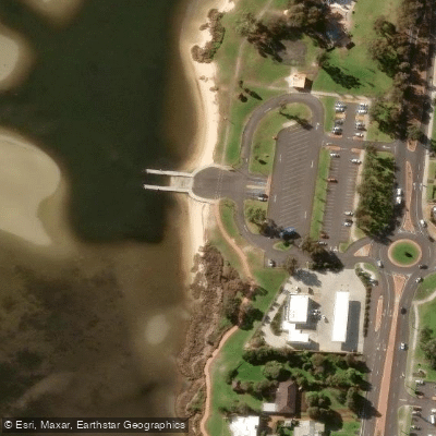
Know where you can legally fish on Leschenault Inlet
See public and private land boundaries along the water, turn on private parcels with owner details to know where permission is required, and find land-trust parcels that offer permitted fishing access.
Western Australia licenses and regulations

Western Australia Boating Regulations
Official WA Department of Transport page for recreational boating rules, including vessel registration, safety equipment and lifejacket requirements, speed limits, and marine alcohol and drug laws under the WA Marine Act 1982.

Western Australia Fishing License
Official WA DPIRD page for recreational fishing licences. WA has activity-specific licences rather than one general licence, including a South-West Freshwater Angling licence for inland fishing, plus separate licences for boat fishing, net fishing, rock lobster, abalone, and marron.

Western Australia Fishing Regulations
Official DPIRD page for WA recreational fishing rules, covering bag, size and possession limits, closed seasons, and gear restrictions. Links to the searchable rules database for limits by species and location.

Western Australia Stream Access Laws
WA has no dedicated public stream-access page; this is the closest official page, covering WA's water resources legislation, primarily the Rights in Water and Irrigation Act 1914, which vests water in the Crown.
Take Leschenault Inlet with you
The onWater Fish app keeps this water's access points, species and conditions in your pocket, with the tools you use once you're there.
Use the map without signal
Download the map around Leschenault Inlet to use it offline when coverage drops.
Log your catches here
Keep a private fishing journal for Leschenault Inlet to find where and when fish are biting for you.
Get the onWater Fish app
Free on iOS and Android
Tides, wind & water conditions (10 day forecast)
On open water, wind and tide matter as much as the weather. See the best times to fish Leschenault Inlet and check the marine forecast before you launch.
Loading tide predictions…
Fishing near Leschenault Inlet
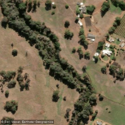
Preston River
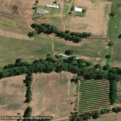
Collie River
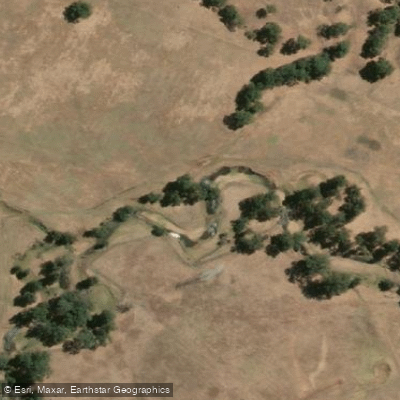
Brunswick River
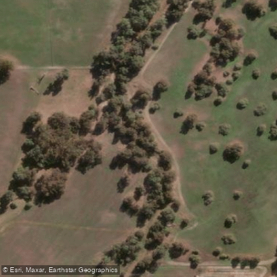
Vasse River
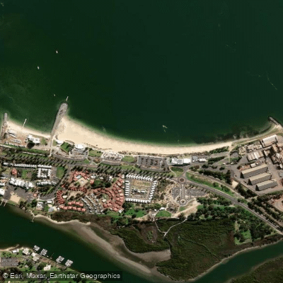
Koombana Bay Beach
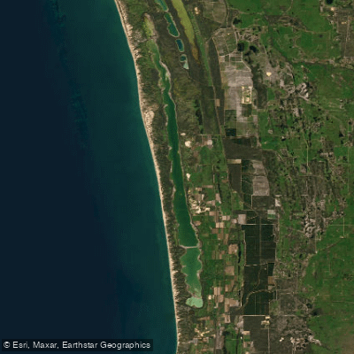
Lake Preston
Blackwood River
Jetty Baths
Capel River
Explore Western Australia waters
Top fishing waters
No waters available right now.
Popular Cities
Loading popular cities...
Explore near Leschenault Inlet
Nearby waters
More in Western Australia

Smarter Fishing Starts in the App.
onWater Fish gives you everything you need to plan smarter, fish better, and own every trip from first cast to last.