Culham Inlet
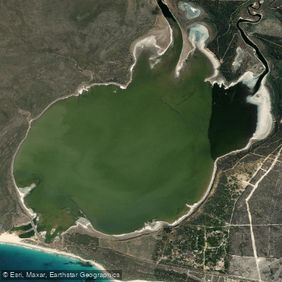
Culham Inlet
- Boat Ramps
- 0
- Access Points
- 0
- Species
- 0
Culham Inlet is a fascinating and ecologically rich coastal salt lake and transient estuary located on the eastern flank of East Mount Barren within Fitzgerald River National Park, approximately 7 kilometres west of Hopetoun in Western Australia's Goldfields-Esperance region. What makes this water body particularly unique is its nature as a landlocked estuary — a former river valley that flooded when sea levels rose around 6,500 years ago, eventually becoming sealed off from the Southern Ocean by a sand bar that built up significantly around 3,500 years ago. Today, the sand bar at the entrance remains almost always closed, meaning the inlet rarely discharges into the ocean. The result is a calm, turquoise-hued body of water fed by the Steere and Phillip Rivers, surrounded by the dramatic landscape of the Fitzgerald River National Park. The wetlands formed by this system are listed in the Directory of Important Wetlands in Australia, reflecting their considerable ecological significance. The inlet offers exceptional fishing opportunities in a strikingly scenic setting, with panoramic views available from the East Mount Barren lookout overlooking the inlet and the surrounding Southern Ocean coastline.
Species & education
Learn what type of fish are at Culham Inlet and what's needed to catch them.
No species information available.
Fishing spots, boat ramps & amenities
Learn how to get on Culham Inlet. Uncover great fishing access points, boat ramps, and all the facilities you need for an unforgettable day on the water. Some locations shown may border or include private property. Always check property boundaries and applicable regulations before visiting. onWater's Public & Private Land layer can help you plan your access with confidence.
The inlet itself offers productive bank fishing along its accessible shorelines. The area near the mouth of the Steere and Phillip Rivers, where freshwater meets the brackish inlet waters, can concentrate fish — particularly bream — that are drawn to the mixing zone and associated food sources. The broader Four Mile Beach area, which stretches from Culham Inlet toward Barrens Beach, also offers beach fishing opportunities along the Southern Ocean coastline for those looking to target surf species including Western Australian Salmon.
Know where you can legally fish on Culham Inlet
See public and private land boundaries along the water, turn on private parcels with owner details to know where permission is required, and find land-trust parcels that offer permitted fishing access.
Western Australia licenses and regulations

Western Australia Boating Regulations
Official WA Department of Transport page for recreational boating rules, including vessel registration, safety equipment and lifejacket requirements, speed limits, and marine alcohol and drug laws under the WA Marine Act 1982.

Western Australia Fishing License
Official WA DPIRD page for recreational fishing licences. WA has activity-specific licences rather than one general licence, including a South-West Freshwater Angling licence for inland fishing, plus separate licences for boat fishing, net fishing, rock lobster, abalone, and marron.

Western Australia Fishing Regulations
Official DPIRD page for WA recreational fishing rules, covering bag, size and possession limits, closed seasons, and gear restrictions. Links to the searchable rules database for limits by species and location.

Western Australia Stream Access Laws
WA has no dedicated public stream-access page; this is the closest official page, covering WA's water resources legislation, primarily the Rights in Water and Irrigation Act 1914, which vests water in the Crown.
Take Culham Inlet with you
The onWater Fish app keeps this water's access points, species and conditions in your pocket, with the tools you use once you're there.
Use the map without signal
Download the map around Culham Inlet to use it offline when coverage drops.
Log your catches here
Keep a private fishing journal for Culham Inlet to find where and when fish are biting for you.
HD depth charts from Garmin
Find drop offs, ledges, channels, points and shallow flats with Garmin depth charts in the app.
Get the onWater Fish app
Free on iOS and Android
Water and weather conditions (10 day forecast)
See the best times to fish Culham Inlet and check the forecast before you go.
No forecast data available.
Fishing near Culham Inlet
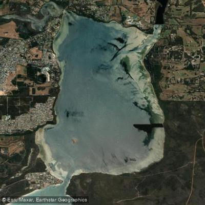
Oyster Harbour
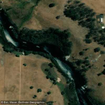
King River
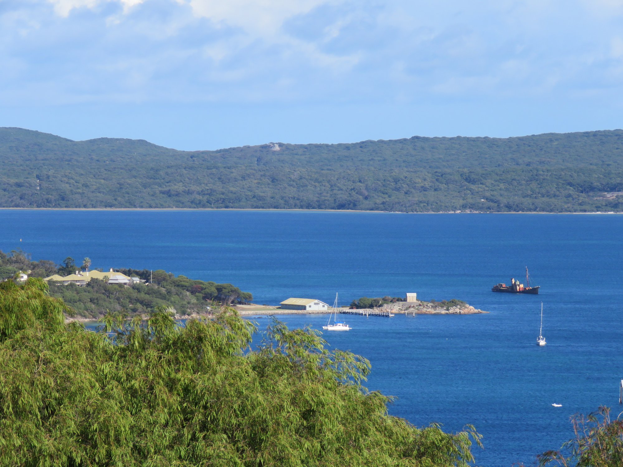
Princess Royal Harbour
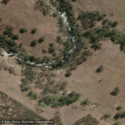
Kalgan River
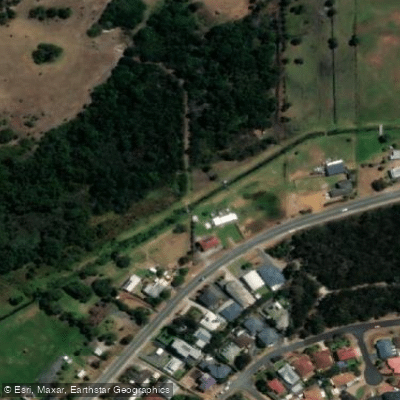
Yakamia Creek
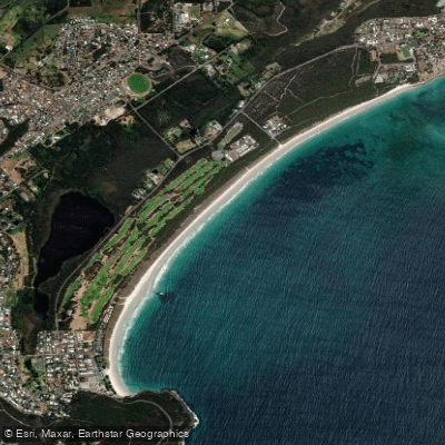
Middleton Beach
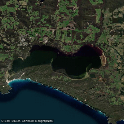
Wilson Inlet
Kent River
Goode Beach
Hay River
Explore Western Australia waters
Top fishing waters
No waters available right now.
Popular Cities
Loading popular cities...
Explore near Culham Inlet

Smarter Fishing Starts in the App.
onWater Fish gives you everything you need to plan smarter, fish better, and own every trip from first cast to last.