Western Port Bay
- Saltwater
- Estuary

Western Port Bay
- Saltwater
- Estuary
- Sq. miles
- 383
- Boat Ramps
- 11
- Access Points
- 2
- Species
- 20
Western Port Bay, often referred to simply as Western Port, is a vast tidal estuary and the second-largest bay in Victoria, Australia. Covering 680 square kilometers with an average depth of 6 meters and a maximum depth of 25 meters, it's a complex marine environment dominated by the large islands of French Island and Phillip Island. The bay opens to Bass Strait through two entrances, one on either side of Phillip Island, and is fed by several rivers including the Bunyip, Lang Lang, Bass, and Cardinia Creek. It is a Ramsar-listed wetland of international significance, featuring extensive seagrass beds, intertidal mudflats, mangroves, and deep channels that support a rich diversity of marine life. The bay is a premier destination for anglers seeking a variety of challenging saltwater species, from prized table fish to large sharks, all within an hour's drive of Melbourne.
Species & education
Learn what type of fish are at Western Port Bay and what's needed to catch them.

Find which waters have the species you want to catch

Australian Herring
Arripis georgianus

Australian Salmon
Arripis trutta

Black Bream
Acanthopagrus butcheri

Blue Mackerel
Scomber australasicus

Eastern Blue Groper
Achoerodus viridis

Gummy Shark
Mustelus antarcticus

King George Whiting
Sillaginodes punctatus

Luderick
Girella tricuspidata

Mulloway
Argyrosomus japonicus

Sand Flathead
Platycephalus bassensis

Sand Whiting
Sillago ciliata

School Shark
Galeorhinus galeus

Silver Trevally
Pseudocaranx dentex

Snapper
Pagrus auratus

Snook
Sphyraena novaehollandiae

Southern Bluefin Tuna
Thunnus maccoyii

Tailor
Pomatomus saltatrix

Western Australian Salmon
Arripis truttacea

Yellowfin Bream
Acanthopagrus australis

Yellowtail Scad
Trachurus novaezelandiae
Fishing spots, boat ramps & amenities
Learn how to get on Western Port Bay. Uncover great fishing access points, boat ramps, and all the facilities you need for an unforgettable day on the water. Some locations shown may border or include private property. Always check property boundaries and applicable regulations before visiting. onWater's Public & Private Land layer can help you plan your access with confidence.
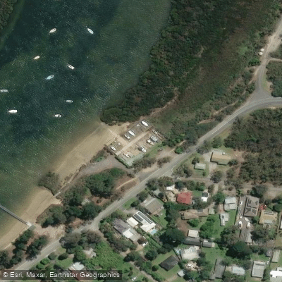
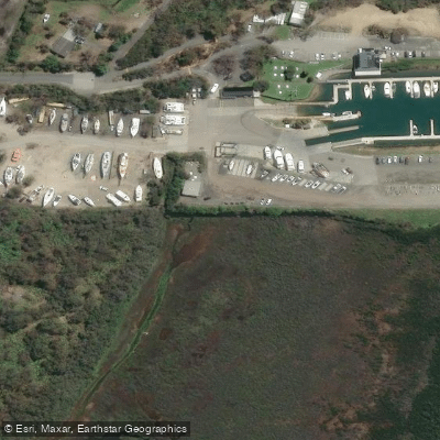
Know where you can legally fish on Western Port Bay
See public and private land boundaries along the water, turn on private parcels with owner details to know where permission is required, and find land-trust parcels that offer permitted fishing access.
Victoria licenses and regulations

Victoria Boating Regulations
Official Safe Transport Victoria recreational boating page covering marine licence requirements, lifejacket and safety-equipment rules, speed and distance limits, and navigation rules.

Victoria Fishing License
Official Victorian Fisheries Authority page for buying a Recreational Fishing Licence (RFL), which covers all marine, estuarine and inland fishing. Required for most adult anglers unless exempt; short-term and multi-year options are available.

Victoria Fishing Regulations
Official VFA page listing size and bag limits and closed seasons for freshwater, marine and estuarine species, part of the Victorian Recreational Fishing Guide. A default bag limit applies to species not specifically listed.

Victoria Stream Access Laws
Victoria has no single dedicated stream-access page; this is the closest official angler-facing page - the VFA's guide to angler access along Crown land water frontages, explaining that the public may legally access licensed and unreserved Crown frontage.
Take Western Port Bay with you
The onWater Fish app keeps this water's access points, species and conditions in your pocket, with the tools you use once you're there.
Use the map without signal
Download the map around Western Port Bay to use it offline when coverage drops.
Log your catches here
Keep a private fishing journal for Western Port Bay to find where and when fish are biting for you.
Get the onWater Fish app
Free on iOS and Android
Tides, wind & water conditions (10 day forecast)
On open water, wind and tide matter as much as the weather. See the best times to fish Western Port Bay and check the marine forecast before you launch.
Loading tide predictions…
Fishing near Western Port Bay
Yarra River
Moonee Ponds Creek

Port Phillip Bay
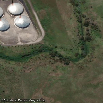
Merri Creek
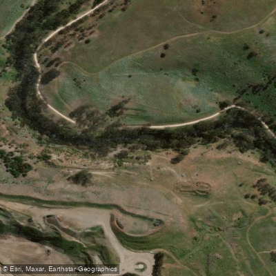
Maribyrnong River

Port Phillip
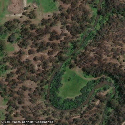
Plenty River
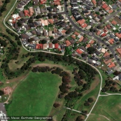
Darebin Creek
Webb Dock
Dandenong Creek
Explore Victoria waters
Top fishing waters
No waters available right now.
Popular Cities
Loading popular cities...
Explore near Western Port Bay
Fish species
Fishing spots
- Cowes Yacht Club Slipway
- Flinders Pier Boatramp
- Lang Lang Boat Ramp
- Old Boat Ramp
- Rhyll Boat Ramp
- Tankerton Boat Ramp
- Western Port - Cannons Creek Ramp
- Western Port - Grantville Ramp
- Western Port - Newhaven Seaview St Ramp
- Western Port - Tooradin Ramp
- Western Port - Warneet Ramp
- Warneet North Slip Club
- All 23 spots
Nearby waters
More in Victoria

Smarter Fishing Starts in the App.
onWater Fish gives you everything you need to plan smarter, fish better, and own every trip from first cast to last.