Werribee River

Werribee River
- Boat Ramps
- 1
- Access Points
- 0
- Species
- 16
The Werribee River is a 110-kilometer perennial river flowing from the Great Dividing Range in the Wombat State Forest near Korweinguboora, at an elevation of 501 meters, down to its mouth at Port Phillip Bay near Werribee South. It traverses a diverse landscape from its headwaters through the Werribee Gorge State Park, past market gardens at Bacchus Marsh, and through urban and coastal plains before entering the bay. The river offers a wide spectrum of fishing opportunities, transitioning from freshwater species in its upper reaches to estuarine and marine species in its lower sections and mouth. A linear park follows much of its course, providing public access, though some areas require specific permits for entry.
Species & education
Learn what type of fish are at Werribee River and what's needed to catch them.

Find which waters have the species you want to catch

Australian Smelt
Retropinna semoni

Brown Trout
Salmo trutta

Chinook Salmon
Oncorhynchus tshawytscha

Climbing Galaxias
Galaxias brevipinnis

Common Carp
Cyprinus carpio

Common Roach
Rutilus rutilus

European Perch
Perca fluviatilis

Flathead Grey Mullet
Mugil cephalus

Freshwater Catfish
Tandanus tandanus

Macquarie Perch
Macquaria australasica

Mountain Galaxias
Galaxias olidus

Puye
Galaxias maculatus

River Blackfish
Gadopsis marmoratus

Short-finned Eel
Anguilla australis

Spotted Galaxias
Galaxias truttaceus

Tench
Tinca tinca
Fishing spots, boat ramps & amenities
Learn how to get on Werribee River. Uncover great fishing access points, boat ramps, and all the facilities you need for an unforgettable day on the water. Some locations shown may border or include private property. Always check property boundaries and applicable regulations before visiting. onWater's Public & Private Land layer can help you plan your access with confidence.
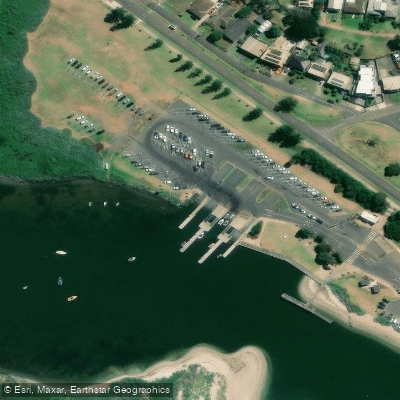
Know where you can legally fish on Werribee River
See public and private land boundaries along the water, turn on private parcels with owner details to know where permission is required, and find land-trust parcels that offer permitted fishing access.
Victoria licenses and regulations

Victoria Boating Regulations
Official Safe Transport Victoria recreational boating page covering marine licence requirements, lifejacket and safety-equipment rules, speed and distance limits, and navigation rules.

Victoria Fishing License
Official Victorian Fisheries Authority page for buying a Recreational Fishing Licence (RFL), which covers all marine, estuarine and inland fishing. Required for most adult anglers unless exempt; short-term and multi-year options are available.

Victoria Fishing Regulations
Official VFA page listing size and bag limits and closed seasons for freshwater, marine and estuarine species, part of the Victorian Recreational Fishing Guide. A default bag limit applies to species not specifically listed.

Victoria Stream Access Laws
Victoria has no single dedicated stream-access page; this is the closest official angler-facing page - the VFA's guide to angler access along Crown land water frontages, explaining that the public may legally access licensed and unreserved Crown frontage.
Take Werribee River with you
The onWater Fish app keeps this water's access points, species and conditions in your pocket, with the tools you use once you're there.
Use the map without signal
Download the map around Werribee River to use it offline when coverage drops.
Log your catches here
Keep a private fishing journal for Werribee River to find where and when fish are biting for you.
Get the onWater Fish app
Free on iOS and Android
Water and weather conditions (10 day forecast)
See the best times to fish Werribee River and check the forecast before you go.
Werribee River @ Bacchus Marsh
All Flow Stations
Fishing near Werribee River
Yarra River
Moonee Ponds Creek

Port Phillip Bay
Merri Creek
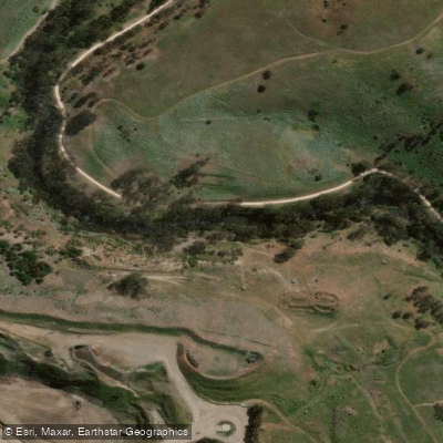
Maribyrnong River

Port Phillip
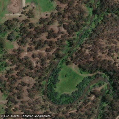
Plenty River
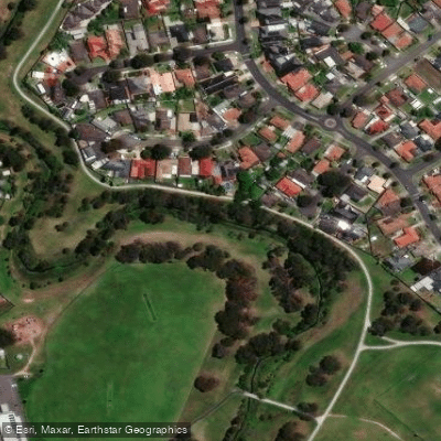
Darebin Creek
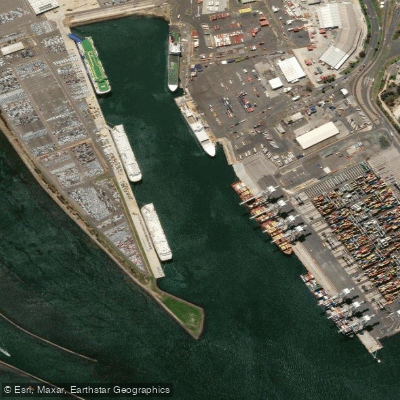
Webb Dock
Dandenong Creek
Explore Victoria waters
Top fishing waters
No waters available right now.
Popular Cities
Loading popular cities...
Explore near Werribee River
Fish species
Fishing spots
Nearby waters
More in Victoria

Smarter Fishing Starts in the App.
onWater Fish gives you everything you need to plan smarter, fish better, and own every trip from first cast to last.