Thompson Creek
- Saltwater
- Estuary
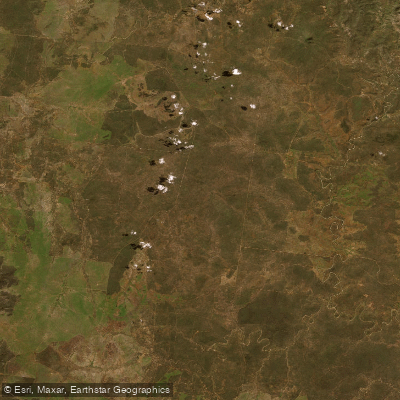
Thompson Creek
- Saltwater
- Estuary
- Sq. miles
- 6.6
- Boat Ramps
- 0
- Access Points
- 0
- Species
- 3
Thompson Creek is a coastal estuary system flowing through rural and coastal areas of the Surf Coast Shire before entering Bass Strait near Breamlea. It is a significant waterway within the Otway Basin, with its estuary dynamics playing a crucial role in the surrounding Karaaf Wetlands. The system's condition has been assessed as poor in most reaches, with elevated phosphorus levels. The estuary mouth's opening, whether natural, managed, or illegal, is a critical event that dramatically affects water levels, salinity, and fish habitat, with closures sometimes maintained to provide environmental benefits despite causing localized flooding.
Species & education
Learn what type of fish are at Thompson Creek and what's needed to catch them.

Find which waters have the species you want to catch

Australian Herring
Arripis georgianus

Black Bream
Acanthopagrus butcheri

Blue-threadfin
Eleutheronema tetradactylum
Fishing spots, boat ramps & amenities
Learn how to get on Thompson Creek. Uncover great fishing access points, boat ramps, and all the facilities you need for an unforgettable day on the water. Some locations shown may border or include private property. Always check property boundaries and applicable regulations before visiting. onWater's Public & Private Land layer can help you plan your access with confidence.
Key areas include the estuary mouth at Point Impossible and the surrounding saltmarsh habitats. The confluence where Thompson Creek meets Bass Strait is a natural focal point for fish movement. The reserves along its course, such as Breamlea Rice Reserve and Dans Reserve, provide public access to the shoreline.
Know where you can legally fish on Thompson Creek
See public and private land boundaries along the water, turn on private parcels with owner details to know where permission is required, and find land-trust parcels that offer permitted fishing access.
Victoria licenses and regulations

Victoria Boating Regulations
Official Safe Transport Victoria recreational boating page covering marine licence requirements, lifejacket and safety-equipment rules, speed and distance limits, and navigation rules.

Victoria Fishing License
Official Victorian Fisheries Authority page for buying a Recreational Fishing Licence (RFL), which covers all marine, estuarine and inland fishing. Required for most adult anglers unless exempt; short-term and multi-year options are available.

Victoria Fishing Regulations
Official VFA page listing size and bag limits and closed seasons for freshwater, marine and estuarine species, part of the Victorian Recreational Fishing Guide. A default bag limit applies to species not specifically listed.

Victoria Stream Access Laws
Victoria has no single dedicated stream-access page; this is the closest official angler-facing page - the VFA's guide to angler access along Crown land water frontages, explaining that the public may legally access licensed and unreserved Crown frontage.
Take Thompson Creek with you
The onWater Fish app keeps this water's access points, species and conditions in your pocket, with the tools you use once you're there.
Use the map without signal
Download the map around Thompson Creek to use it offline when coverage drops.
Log your catches here
Keep a private fishing journal for Thompson Creek to find where and when fish are biting for you.
Get the onWater Fish app
Free on iOS and Android
Tides, wind & water conditions (10 day forecast)
On open water, wind and tide matter as much as the weather. See the best times to fish Thompson Creek and check the marine forecast before you launch.
Loading tide predictions…
Fishing near Thompson Creek
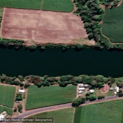
Pioneer River
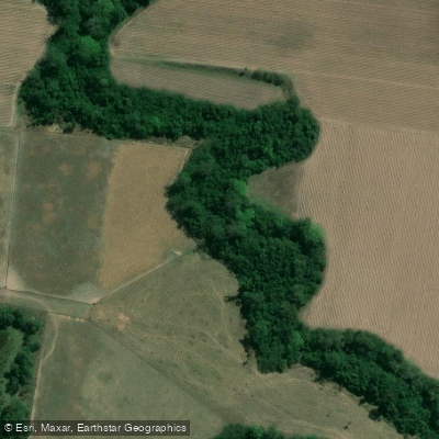
Bakers Creek
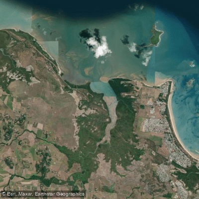
Reliance/Leila Creek
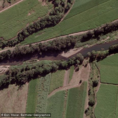
Cattle Creek
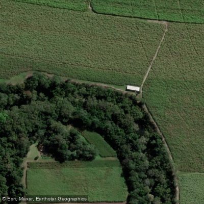
Sandy Creek
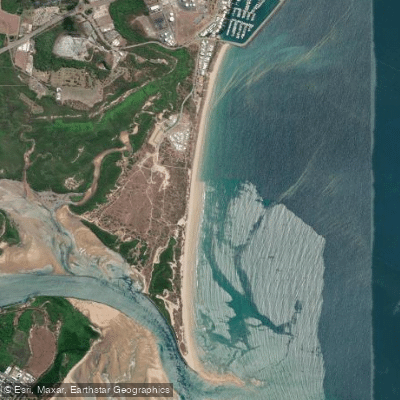
Harbour Beach
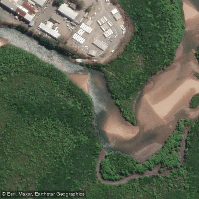
Vines Creek
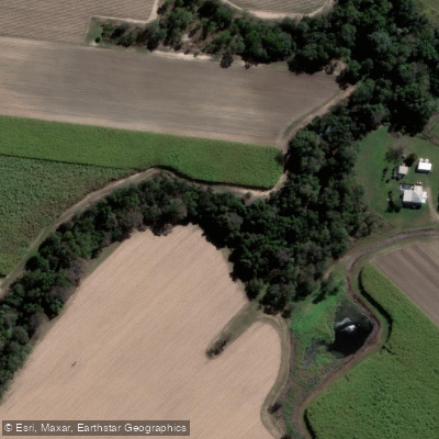
Alligator Creek
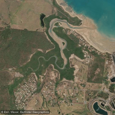
Louisa Creek
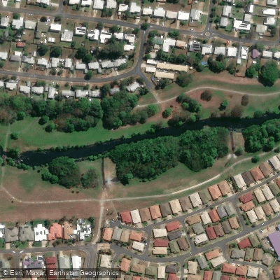
Goosepond Creek
Explore Victoria waters
Top fishing waters
No waters available right now.
Popular Cities
Loading popular cities...
Explore near Thompson Creek

Smarter Fishing Starts in the App.
onWater Fish gives you everything you need to plan smarter, fish better, and own every trip from first cast to last.