Gunbower Creek
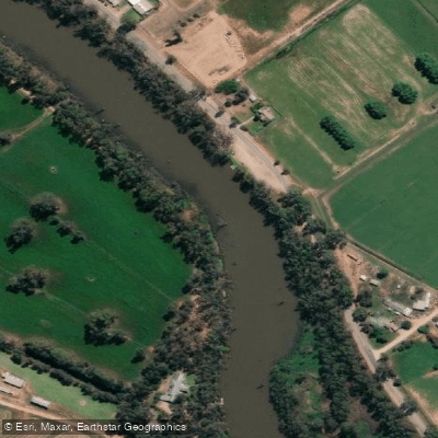
Gunbower Creek
- Boat Ramps
- 8
- Access Points
- 0
- Species
- 7
Gunbower Creek is a significant waterway located in Victoria's Sunset Country, flowing through the north-central region of the state. It forms a vital connection within the Murray River system and is recognized for its role as a migratory corridor for native fish between the main river channel and the expansive floodplains of the Gunbower Forest, a designated Ramsar wetland site. The creek offers a mix of bank and small craft fishing opportunities, with significant stretches providing excellent shore access for anglers.
Species & education
Learn what type of fish are at Gunbower Creek and what's needed to catch them.



Fishing spots, boat ramps & amenities
Learn how to get on Gunbower Creek. Uncover great fishing access points, boat ramps, and all the facilities you need for an unforgettable day on the water. Some locations shown may border or include private property. Always check property boundaries and applicable regulations before visiting. onWater's Public & Private Land layer can help you plan your access with confidence.
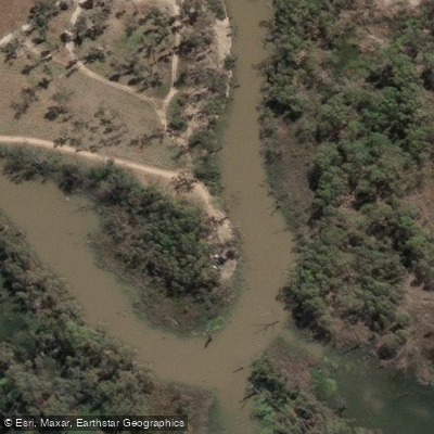
Canoe Ramp (Rollers)
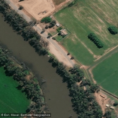
Gunbower Creek - Cohuna Island Rd Ramp 1
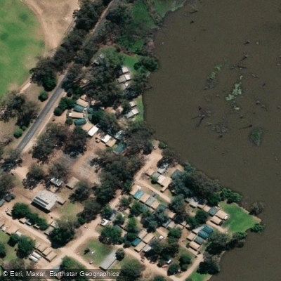
Gunbower Creek - Cohuna Island Rd Ramp 2
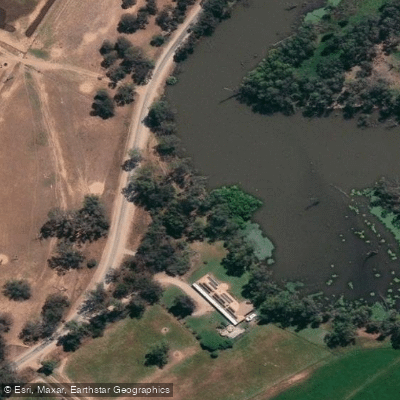
Gunbower Creek - Daltons Rd Ramp
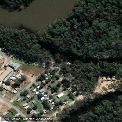
Gunbower Creek - Koondrook Ramp
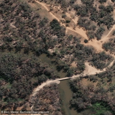
Gunbower Creek - Spences Bridge Rd Ramp
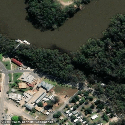
Koondrook
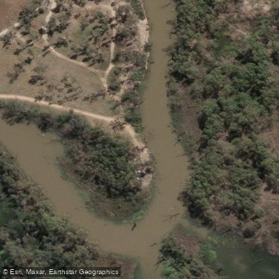
Koondrook All Abilities Canoe Trail & Kayak Launcher
Know where you can legally fish on Gunbower Creek
See public and private land boundaries along the water, turn on private parcels with owner details to know where permission is required, and find land-trust parcels that offer permitted fishing access.
Victoria licenses and regulations

Victoria Boating Regulations
Official Safe Transport Victoria recreational boating page covering marine licence requirements, lifejacket and safety-equipment rules, speed and distance limits, and navigation rules.

Victoria Fishing License
Official Victorian Fisheries Authority page for buying a Recreational Fishing Licence (RFL), which covers all marine, estuarine and inland fishing. Required for most adult anglers unless exempt; short-term and multi-year options are available.

Victoria Fishing Regulations
Official VFA page listing size and bag limits and closed seasons for freshwater, marine and estuarine species, part of the Victorian Recreational Fishing Guide. A default bag limit applies to species not specifically listed.

Victoria Stream Access Laws
Victoria has no single dedicated stream-access page; this is the closest official angler-facing page - the VFA's guide to angler access along Crown land water frontages, explaining that the public may legally access licensed and unreserved Crown frontage.
Take Gunbower Creek with you
The onWater Fish app keeps this water's access points, species and conditions in your pocket, with the tools you use once you're there.
Use the map without signal
Download the map around Gunbower Creek to use it offline when coverage drops.
Log your catches here
Keep a private fishing journal for Gunbower Creek to find where and when fish are biting for you.
Get the onWater Fish app
Free on iOS and Android
Water and weather conditions (10 day forecast)
See the best times to fish Gunbower Creek and check the forecast before you go.
Gunbower Creek @ Koondrook
All Flow Stations
Fishing near Gunbower Creek
Bendigo Creek
Axe Creek

Campaspe River
Bullock Creek
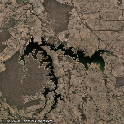
Lake Eppalock
Bradford Creek
Loddon River
Waranga Western Channel
Mosquito Creek
Forest Creek
Explore Victoria waters
Top fishing waters
No waters available right now.
Popular Cities
Loading popular cities...
Explore near Gunbower Creek
Fish species
Fishing spots
- Canoe Ramp (Rollers)
- Gunbower Creek - Cohuna Island Rd Ramp 1
- Gunbower Creek - Cohuna Island Rd Ramp 2
- Gunbower Creek - Daltons Rd Ramp
- Gunbower Creek - Koondrook Ramp
- Gunbower Creek - Spences Bridge Rd Ramp
- Koondrook
- Koondrook All Abilities Canoe Trail & Kayak Launcher
- Gunbower 1
- Gunbower 10
- Gunbower 11
- Gunbower 12
- All 26 spots
Nearby waters
More in Victoria

Smarter Fishing Starts in the App.
onWater Fish gives you everything you need to plan smarter, fish better, and own every trip from first cast to last.